

Cova de l'Isard
Small cave with 18 m of passage in the Muntanyes de Prades, explored on 12 September 1993.
EspeleoWorld
Cova de l'Isard
Small cave with 18 m of passage in the Muntanyes de Prades, explored on 12 September 1993.
Montblanc · Conca de Barberà
Length: 18 m
Updated record
https://espeleoworld.com/en/c/cova-de-l-isard
Information can change. Always verify coordinates, access, weather, and cave conditions before setting out.
Small cave with 18 m of passage in the Muntanyes de Prades, explored on 12 September 1993.
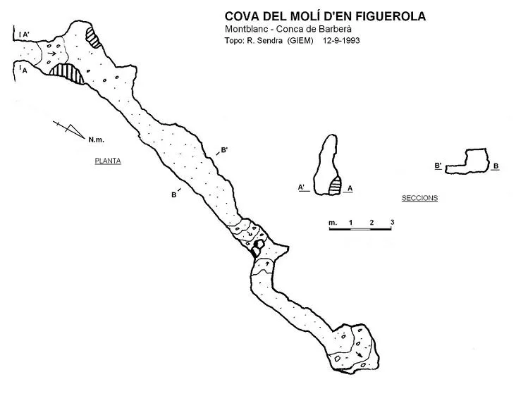
Topographic

Espeleoindex · CC BY-NC 4.0, https://creativecommons.org/licenses/by-nc/4.0/ · Image © its author.
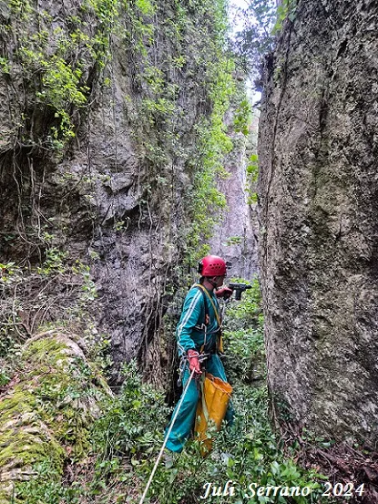
Photos
Espeleoindex · CC BY-NC 4.0, https://creativecommons.org/licenses/by-nc/4.0/ · Image © its author.
Description
Morphology
It is a N-S trending joint, with the entrance walled up. After a couple of turns to the right the fissure becomes impassable, totalling about 18 metres of passage.
History
This cave was certainly known to the local people and possibly served as a shelter, but the only speleological information we know of is that provided by members of GIEM – CE Montblanc who explored it on 12 September 1993.
User Comments (0)
No comments yet.
Be the first to share your experience!
Registered Explorations (0)
No explorations registered yet.
Register your visit to this cave!
Bibliography
- Dades inèdites facilitades per Ramon Sendra (GIEM) l'any 1993
Nearby caves



Source: Espeleoindex (espeleoindex.com), modified. CC BY-NC 4.0, https://creativecommons.org/licenses/by-nc/4.0/