
Cova de l'Hereu
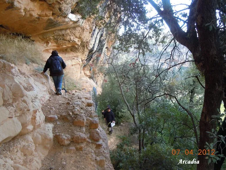
Gran balma obrada de 150 metres de llarg i 20 de fons al barranc de Fontfreda (Vilanova de Meià).
EspeleoWorld
Cova de l'Hereu
Gran balma obrada de 150 metres de llarg i 20 de fons al barranc de Fontfreda (Vilanova de Meià).
Vilanova de Meià · Noguera
Length: 20 m · Depth: 1 m
Updated record
https://espeleoworld.com/en/c/cova-de-l-hereu
Information can change. Always verify coordinates, access, weather, and cave conditions before setting out.
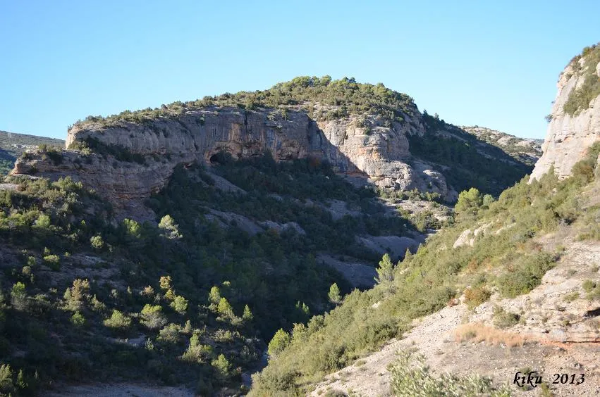
Large worked rock shelter 150 metres long and 20 deep in the barranc de Fontfreda, in Vilanova de Meià, known in Tòrrec as cova de l'Hereu.
Topographic
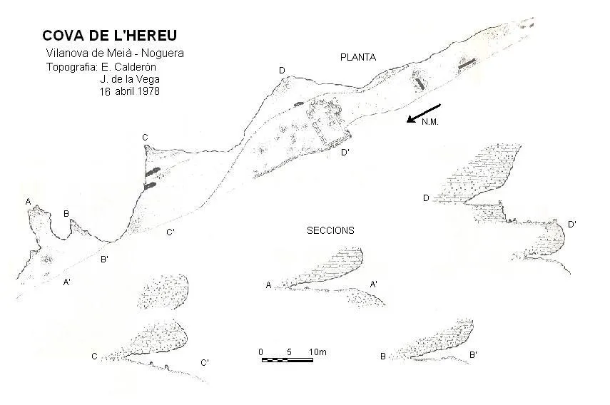

Espeleoindex · CC BY-NC 4.0, https://creativecommons.org/licenses/by-nc/4.0/ · Image © its author.
Photos

Espeleoindex · CC BY-NC 4.0, https://creativecommons.org/licenses/by-nc/4.0/ · Image © its author.
Description
Morphology
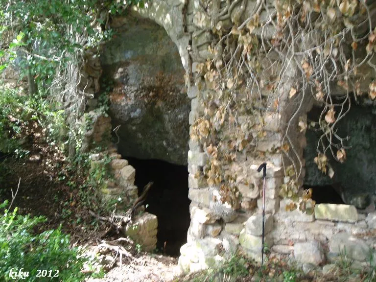
It is a rock shelter of considerable dimensions, but of little depth. It is in reality several rock shelters touching one another within a larger one. At the back of the long rock shelter there are ruined walls separating various areas. In the central part and half outside the rock shelter are the remains of the foundations of a chapel with a rectangular plan, with two round apses, one at the head and the other on the S side; the remains suggest a Romanesque construction whose dedication is unknown.
History
We do not know whether the data provided by Dofí Soler de Lluçars to Josep de la Vega were erroneous or whether perhaps he did not know how to interpret them. The fact is that Josep de la Vega surveyed and published them as “Balmes de Gramanet (Tòrrec)” in his “Aplec de documents arqueològics de les coves del Montsec i llur projecció a les comarques i serres properes”.
On 31 January 1993 Joan Reig, Gener Aymamí and Eliseo Peidró visited them without drawing further conclusions. In October of the following year, Gener Aymamí, E. Peidró, J. Tarrats, J. Sansalvadó, E. Tomàs and J. Reig tried to reach Gramenet from Comiols by descending through Montadó; once they arrived at the balma de Gramenet, they realised that the information they had did not correspond to this rock shelter, but to the one visited the previous year. They returned again to the rock shelter located in the barranc de la Font Freda to verify the information and then went to the village of Tòrrec to seek more information about this rock shelter. It so happened that at that moment in the square they were preparing the main festival and practically all the inhabitants were there (1991 census, 33 inhabitants), with relatives and friends. With general assent they gave it the name “Cova de l'Hereu” with reference to a nearby farmhouse now demolished.
User Comments (0)
No comments yet.
Be the first to share your experience!
Registered Explorations (0)
No explorations registered yet.
Register your visit to this cave!
Bibliography
- Reig, Joan; Aymamí,Gener; Peidró,Eliseo.(1998).-”Baronia de Lavansa: Romànic i trogloditísme amb incògnites”. Excursionisme (270):230-236. UEC. Barcelona.
- Vega, Josep de la. (1981).-”Aplec de documents arqueològics de les coves del Montsec i llur projecció a les comarques i serres properes”. Mediterrània (12): 1-359.
Nearby caves
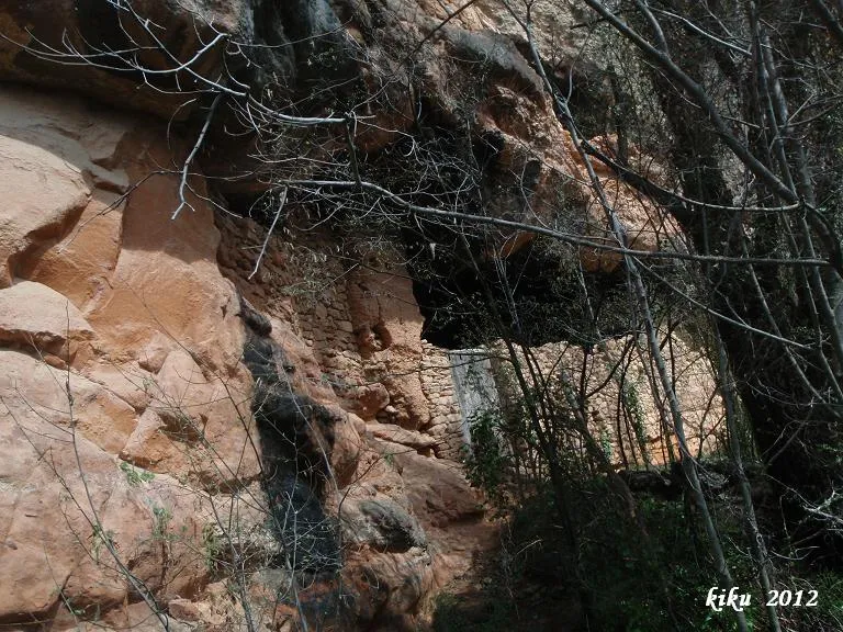
Cova Inferior de la Vansa
0.7 km · SW
Vilanova de Meià (Noguera)
1 topo.3 photos
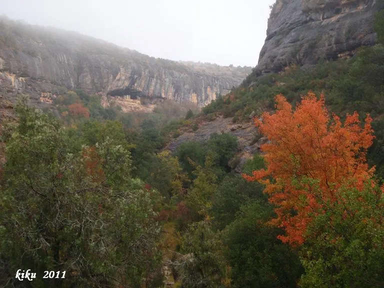
Cova de la Vansa
0.8 km · SW
Vilanova de Meià (Noguera)
2 topo.7 photos
Cova de l'Ermita de la Vansa
0.9 km · SW
Vilanova de Meià (Noguera)
2 topo.4 photos
Cova dels Carrers de Lluçars
1.1 km · SW
Vilanova de Meià (Noguera)
1 topo.8 photos
Source: Espeleoindex (espeleoindex.com), modified. CC BY-NC 4.0, https://creativecommons.org/licenses/by-nc/4.0/