
Cova de Castellassa del Dalmau
Petita cova de 12 m. de recorregut a Sant Llorenç del Munt
EspeleoWorld
Cova de Castellassa del Dalmau
Petita cova de 12 m. de recorregut a Sant Llorenç del Munt
Matadepera · Vallès Occidental
Length: 12 m
Updated record
https://espeleoworld.com/en/c/cova-de-castellassa-del-dalmau
Information can change. Always verify coordinates, access, weather, and cave conditions before setting out.
Small cave with a 12 m passage in Sant Llorenç del Munt, at the top of a narrow chute.
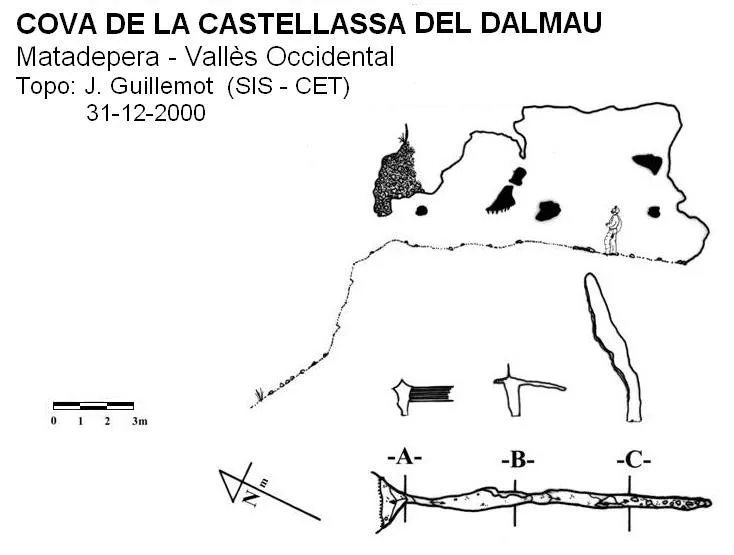
Topographic

Espeleoindex · CC BY-NC 4.0, https://creativecommons.org/licenses/by-nc/4.0/ · Image © its author.
Photos

Espeleoindex · CC BY-NC 4.0, https://creativecommons.org/licenses/by-nc/4.0/ · Image © its author.
Description
Morphology
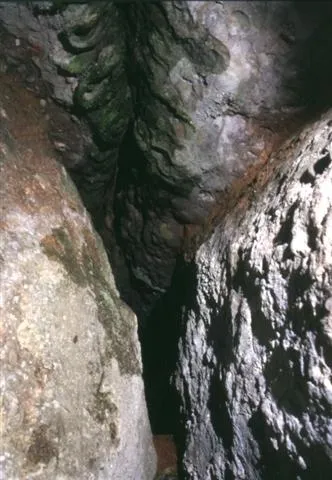
The cave is at the top of a narrow chute. The entrance, just over 50 centimetres high, leads us into a single gallery 12 metres long, very narrow. At some points the cave reaches 5 metres in height, although very uncomfortable.
Speleothems
The left wall of the gallery is quite decorated with stalagmitic flowstone.
Progression
You must get over an earthy rise about 3 metres high. To make the ascent easier, three steps have been cut into the earthy wall.
History
Someone had spoken of this cave to Xavi Badiella, but it was not located by Jordi Guillemot (SIS-CET) until 19 November 2000. It was explored the following week and the survey was carried out on 31 December 2000; it will therefore remain as the last cavity discovered in the past millennium in Sant Llorenç del Munt.
User Comments (0)
No comments yet.
Be the first to share your experience!
Registered Explorations (0)
No explorations registered yet.
Register your visit to this cave!
Bibliography
Guillemot, J. (2003).- “Cova de la Castellassa del Dalmau” Arxiu del Centre Excursionista de Terrassa (110): 18-19. CE Terrassa.
· Fotografies de Jordi Guillemot extretes del seu blog: El cau del Guille
Nearby caves
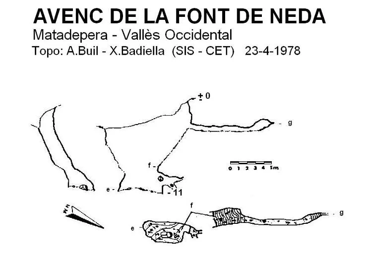
Avenc de la Font de Neda
0.3 km · SW
Matadepera (Vallès Occidental)
1 topo.
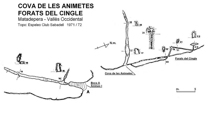
Forats del Cingle
0.6 km · W
Matadepera (Vallès Occidental)
2 topo.
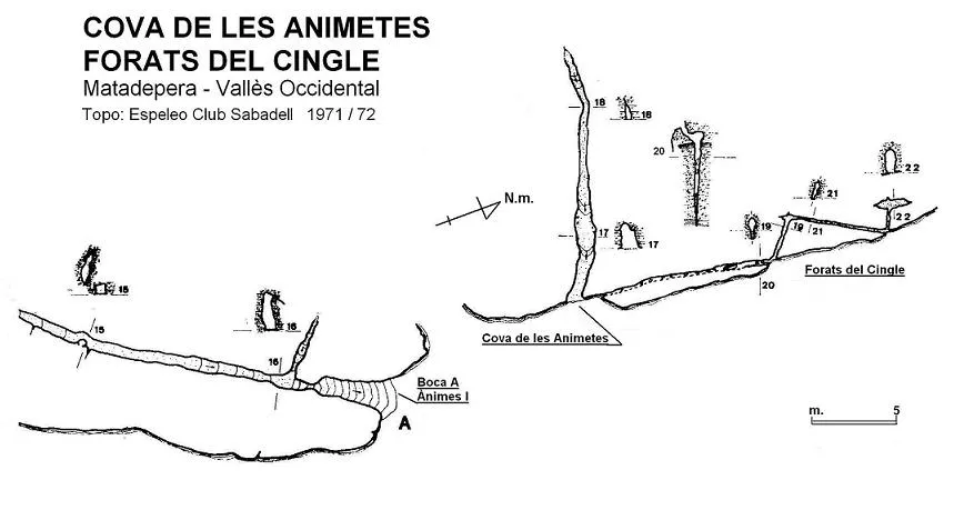
Cova de les Animetes
0.6 km · W
Matadepera (Vallès Occidental)
3 topo.
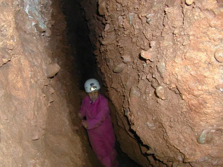
Coves de les ànimes
0.7 km · W
Matadepera (Vallès Occidental)
3 topo.12 photos
Source: Espeleoindex (espeleoindex.com), modified. CC BY-NC 4.0, https://creativecommons.org/licenses/by-nc/4.0/