
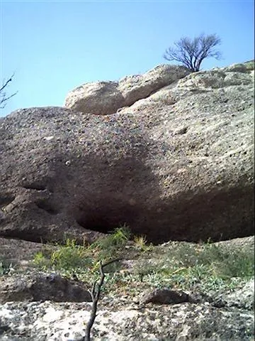
Cova d'Abellerols
Balma poc important a Sant Llorenç Savall
EspeleoWorld
Cova d'Abellerols
Balma poc important a Sant Llorenç Savall
Sant Llorenç Savall · Vallès Occidental
Length: 7 m
Updated record
https://espeleoworld.com/en/c/cova-d-abellerols
Information can change. Always verify coordinates, access, weather, and cave conditions before setting out.
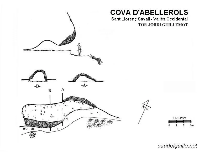
Minor pothole in Sant Llorenç Savall, excavated in a red sandstone overhang, about 6.6 metres deep and 2 metres wide on average.
Topographic

Espeleoindex · CC BY-NC 4.0, https://creativecommons.org/licenses/by-nc/4.0/ · Image © its author.
Photos

Espeleoindex · CC BY-NC 4.0, https://creativecommons.org/licenses/by-nc/4.0/ · Image © its author.
Description
Morphology
It is an overhang excavated by making use of a red sandstone outcrop, giving it the appearance of a cave. In reality, on the outside the sandstone bank does not exceed twenty centimetres in thickness.
The cave is about 6.6 metres deep, of which only 5 are usable as space for bivouacking. The average width is 2 metres. It is doubtful, therefore, that in the 19th century a coin-forging machine could have been installed there as in the legend of the Òbits, nor could too large a band of bandits take refuge there. The ceiling in this case does not exceed 1.3 metres and does not serve as a dance floor, nor for tranquil boleros. Only for sleeping in, and barely.
History
In this harsh world of cave and pit exploration, not everything is brambles and scratches. There are also peaceful library searches, surrounded by silence and sometimes by unsuspected finds in the form of chronicles.
This is the case of an old article that appeared in the Archive of the Centre Excursionista de Terrassa, which spoke of the well-known decree on the caves of the municipality. This decree, signed by Lieutenant Military Commander Antoni Bonet with the date 19-11-1850, was addressed to the mayors of the town councils of the District of Terrassa and explained the reasons and the actions to be taken in order to render useless all the caves of the municipality that could be used by wrongdoers.
In a second article, the cavities that the relevant town councils knew to have been modified in response to the aforementioned decree were listed. The document dates from 26-12-1850, that is, a little less than a month and a half later, and the cavities are listed there just as they were described by the owners themselves, the ultimate parties responsible for having the caves closed.
The first on the list was the cave we are dealing with today, the cave of Baiarols: "it is built by nature, at the place called Baiarols, in living rock, a quarter of an hour from the house of Comavella, facing west and half an hour from Sant Llorenç Savall, about five men could hide in it, it has been sealed, so that no one can enter. The land is owned by Joan Gros i Roca, a resident of Terrassa".
It was not yet a year since I had decided to go and live precisely in Sant Llorenç Savall, so as soon as possible I had to put on the skunk disguise and sniff out the hill of Abellerols, which was the name most similar on the CET map. The find took place on 11-7-1999, on a placid afternoon outing designed to work off a good meal.
User Comments (0)
No comments yet.
Be the first to share your experience!
Registered Explorations (0)
No explorations registered yet.
Register your visit to this cave!
Bibliography
- GUILLEMOT, Jordi (1999).- “El Cau d'en Banyeta i una cova de calaix: la cova d'Abellerols”. Arxiu del Centre Excursionista de Terrassa (102-103: 87-91.
- Dades i fotografia extretes del web: caudelguille.net (Jordi Guillemot)
Nearby caves
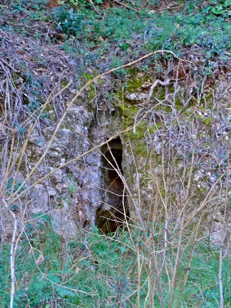
Cova del Toixó
1.4 km · W
Sant Llorenç Savall (Vallès Occidental)
1 photos
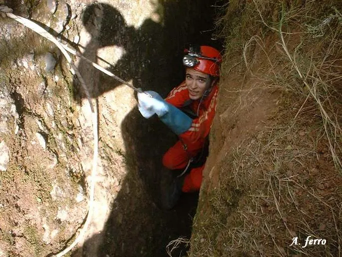
Avenc Gran de la Muntada
1.5 km · SW
Sant Llorenç Savall (Vallès Occidental)
1 topo.4 photos
Avenc Petit de la Muntada
1.5 km · SW
Sant Llorenç Savall (Vallès Occidental)
2 topo.5 photos
Cova-avenc del Marquet de la Roca
1.8 km · SW
Sant Llorenç Savall (Vallès Occidental)
2 topo.
Source: Espeleoindex (espeleoindex.com), modified. CC BY-NC 4.0, https://creativecommons.org/licenses/by-nc/4.0/