
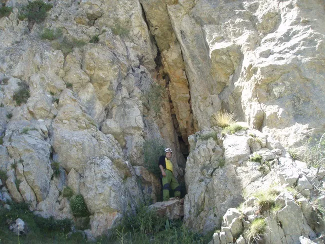
Cau de l'Esquerda
High, unimportant left-hand shaft in the Coma Oriola area (la Masella, Cerdanya), in fractured Devonian limestones between the elevations of 2,135 and 2,300 m.
EspeleoWorld
Cau de l'Esquerda
High, unimportant left-hand shaft in the Coma Oriola area (la Masella, Cerdanya), in fractured Devonian limestones between the elevations of 2,135 and 2,300 m.
Urús · Cerdanya
Length: 10 m · Depth: 9 m
Updated record
https://espeleoworld.com/en/c/cau-de-l-esquerda
Information can change. Always verify coordinates, access, weather, and cave conditions before setting out.
High, unimportant left-hand shaft in the Coma Oriola area (la Masella, Cerdanya), in fractured Devonian limestones between the elevations of 2,135 and 2,300 m.
Topographic
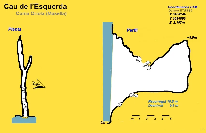
Espeleoindex · CC BY-NC 4.0, https://creativecommons.org/licenses/by-nc/4.0/ · Image © its author.
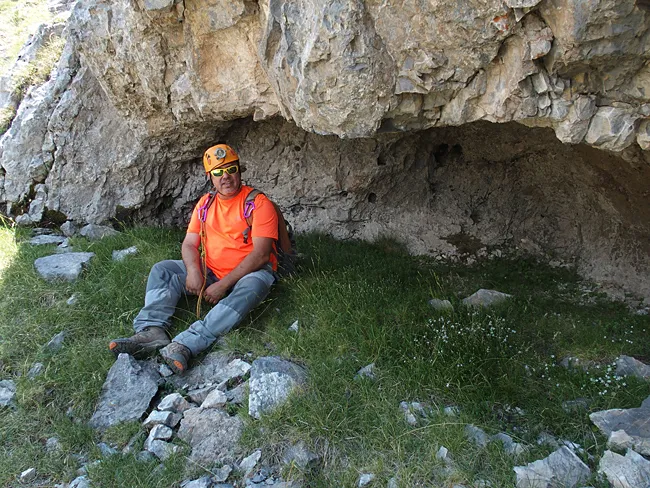
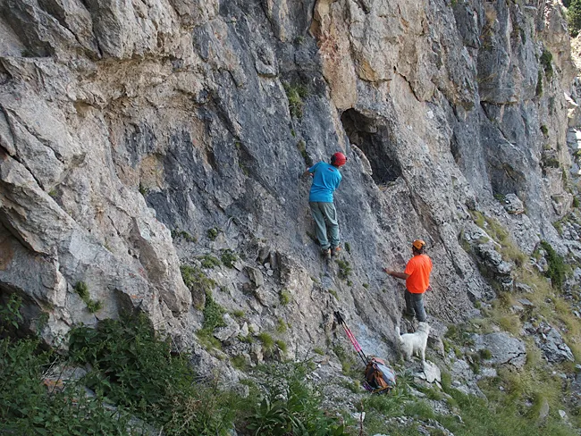
Photos
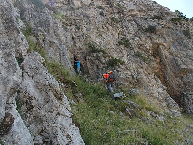
Espeleoindex · CC BY-NC 4.0, https://creativecommons.org/licenses/by-nc/4.0/ · Image © its author.
Description
Morphology
Narrow fissure about 10 metres high through which one can progress about 10 metres into its interior.
History
The only data known are those published by the members of the espeleodijous who visited it in 2016.
User Comments (0)
No comments yet.
Be the first to share your experience!
Registered Explorations (0)
No explorations registered yet.
Register your visit to this cave!
Bibliography
- Totes les dades, topografia i fotografies han estat extretes del blog: espeleobloc.blogspot. Apunt del 16-10-2017
Nearby caves
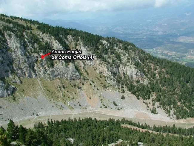


Source: Espeleoindex (espeleoindex.com), modified. CC BY-NC 4.0, https://creativecommons.org/licenses/by-nc/4.0/