
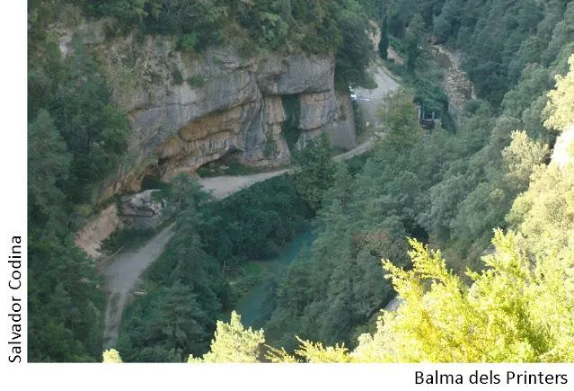
Balma dels Printers
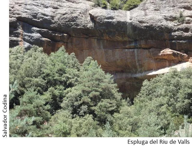
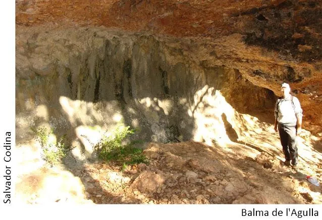
Balma al riu Aigua de Valls (Guixers), about 100 metres wide and 10 metres deep, known since time immemorial and used to prepare the concrete for the second dam on the riu de Valls.
EspeleoWorld
Balma dels Printers
Balma al riu Aigua de Valls (Guixers), about 100 metres wide and 10 metres deep, known since time immemorial and used to prepare the concrete for the second dam on the riu de Valls.
Guixers · Solsonès
Length: 10 m
Updated record
https://espeleoworld.com/en/c/balma-dels-printers
Information can change. Always verify coordinates, access, weather, and cave conditions before setting out.
Balma al riu Aigua de Valls (Guixers), about 100 metres wide and 10 metres deep, known since time immemorial and used to prepare the concrete for the second dam on the riu de Valls.
Topographic
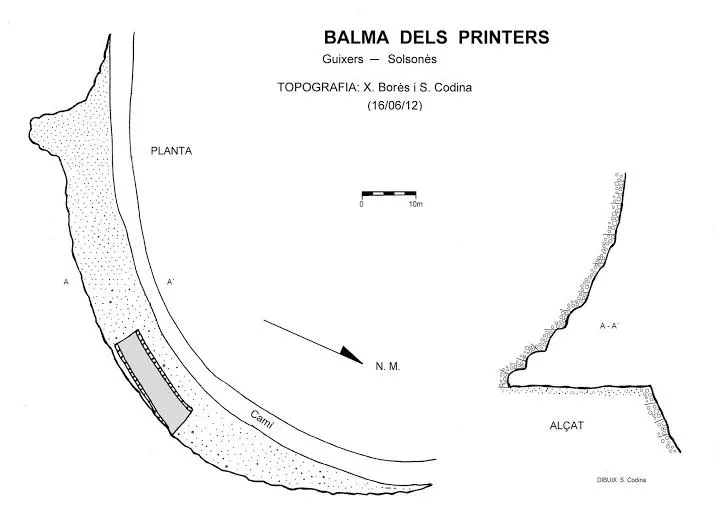
Espeleoindex · CC BY-NC 4.0, https://creativecommons.org/licenses/by-nc/4.0/ · Image © its author.
Photos
Espeleoindex · CC BY-NC 4.0, https://creativecommons.org/licenses/by-nc/4.0/ · Image © its author.
Description
Morphology
It is a long balma about 100 metres wide at the foot of the path; it is a high balma, and about 10 metres deep along almost the whole wall.
History
Known since time immemorial. It was used to prepare the concrete for building the second dam on the riu de Valls. Today we can still find the ramp that was used to load the gravel.
User Comments (0)
No comments yet.
Be the first to share your experience!
Registered Explorations (0)
No explorations registered yet.
Register your visit to this cave!
Bibliography
- Borràs, J; Miñarro, JM; Talavera, F.(1980).-”l'urgell, el solsonès, la segarra i el berguedà”. Catàleg Espeleològic de Catalunya (vol.5):159. Ed. Políglota. Barcelona.
- Codina, Salvador.(2012).-”Ruta espeleològica pel riu de Valls”. Corriol (166):12-14. Centre Excursionista del Solsonès.
- Valles, Jordi de. (2009).-”Alt Urgell, Noguera, Pla d'Urgell, Segarra, Solsonès, Urgell” Catàleg Espeleològic de Catalunya (2):345. EC Gràcia/FCE.
- Dades extretes del blog de Jordi de Valles, post del dia 8-10-2015 (cavitatsdecatalunya.blogspot.com.es).
Nearby caves
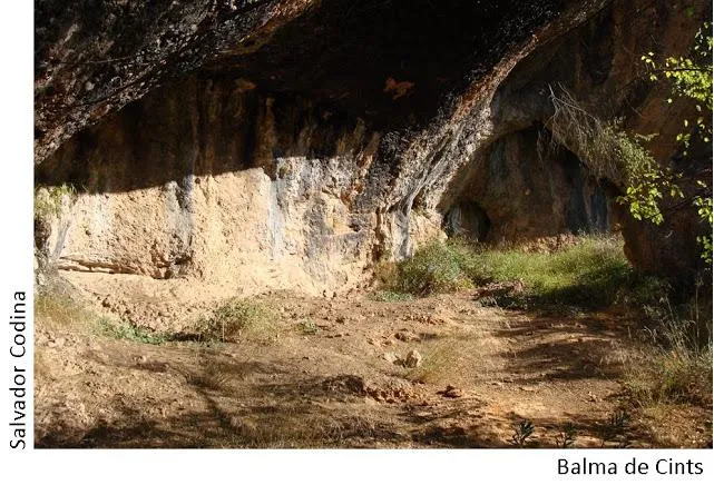
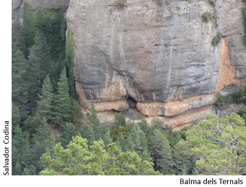


Source: Espeleoindex (espeleoindex.com), modified. CC BY-NC 4.0, https://creativecommons.org/licenses/by-nc/4.0/