
Avencó del Lledoner
Antiga explotació de Sal de Llop
EspeleoWorld
Avencó del Lledoner
Antiga explotació de Sal de Llop
Cervelló · Baix Llobregat
Length: 4 m · Depth: 2 m
Updated record
https://espeleoworld.com/en/c/avenco-del-lledoner
Information can change. Always verify coordinates, access, weather, and cave conditions before setting out.
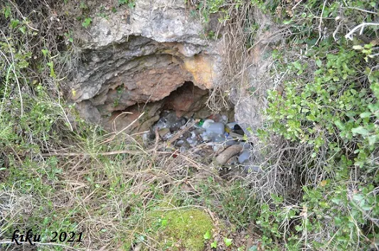
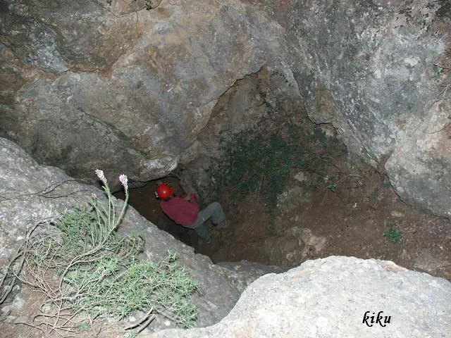
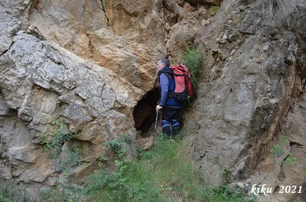
Old sparry calcite working, known since ancient times and cited by N. Llopis in 1941, today full of rubbish and practically collapsed.
Topographic
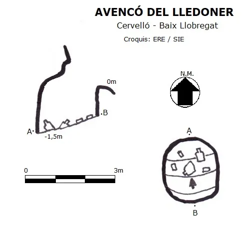
Espeleoindex · CC BY-NC 4.0, https://creativecommons.org/licenses/by-nc/4.0/ · Image © its author.
Photos
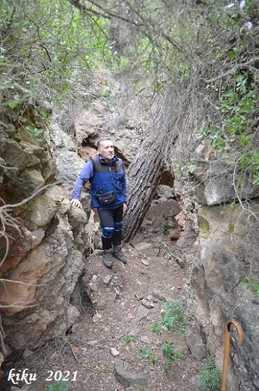
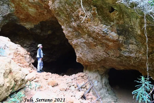
Espeleoindex · CC BY-NC 4.0, https://creativecommons.org/licenses/by-nc/4.0/ · Image © its author.
Description
Morphology
Of the original 6 metres it had, at present only 1.5 metres is accessible.
Other details
At present the cavity is full of rubbish.
History
Known since ancient times and used as a sparry calcite working, it is already cited by N. Llopis in an article published in 1941; in this, and due to a typographical error, it is cited with a depth of -61 metres, when in reality it was 6 metres.
At the end of the 90s of the last century and the first years of this one, an equine facility (now dismantled) was installed only 5 metres from the cavity and which occupied the whole open area situated to the S of the cavity; unfortunately the proximity of the cavity to the aforementioned installation was used to throw all kinds of tools and rubbish, leaving the cavity practically collapsed.
User Comments (0)
No comments yet.
Be the first to share your experience!
Registered Explorations (0)
No explorations registered yet.
Register your visit to this cave!
Bibliography
- Llopis Lladó, N. (1941).-”Morfologia e hidrología subterránea de la parte oriental del macizo cárstico de Garraf (Barcelona)”. Estudios Geográficos (4):413-466.
- Rubinat Aumedes, F. (1984). “Catàleg Espeleològic del Massís de Garraf. Unitat Septentrional. Sectors 9-11-13”. GOURS (10) : 19-73. GEFOMA. Barcelona.
- Rubinat Aumedes, F. (2004).-“Catàleg Espeleològic del Massís de l'Ordal”. Espeleosie (Monogràfic):1-117. SIE-CE Àliga. Barcelona.
- Valles, Jordi de (2017).-”Baix Llobregat”. Catàleg Espeleològic de Catalunya (Vol.6):1-468. EC Gràcia/FCE.
- Dades, coordenades i fotografies facilitades per Juli Serrano (SIE-CEA) i Francesc Rubinat (ERE-CEC), abril de 2021.
Nearby caves


Source: Espeleoindex (espeleoindex.com), modified. CC BY-NC 4.0, https://creativecommons.org/licenses/by-nc/4.0/