
Avencó de Coll Verdeguer
Old sparry calcite working, known since ancient times and cited by N. Llopis in 1941; the 2004 and 2017 catalogues wrongly list it as disappeared.
EspeleoWorld
Avencó de Coll Verdeguer
Old sparry calcite working, known since ancient times and cited by N. Llopis in 1941; the 2004 and 2017 catalogues wrongly list it as disappeared.
Cervelló · Baix Llobregat
Length: 19 m · Depth: 7 m
Updated record
https://espeleoworld.com/en/c/avenco-de-coll-verdeguer
Information can change. Always verify coordinates, access, weather, and cave conditions before setting out.
Old sparry calcite working, known since ancient times and cited by N. Llopis in 1941; the 2004 and 2017 catalogues wrongly list it as disappeared.
Topographic
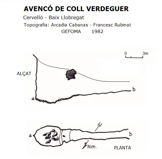
Espeleoindex · CC BY-NC 4.0, https://creativecommons.org/licenses/by-nc/4.0/ · Image © its author.
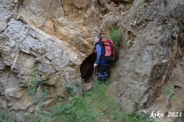
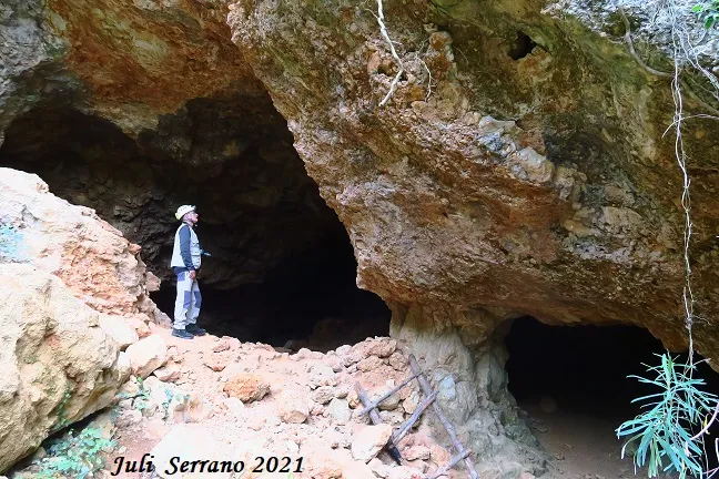
Photos
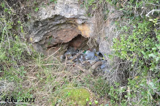
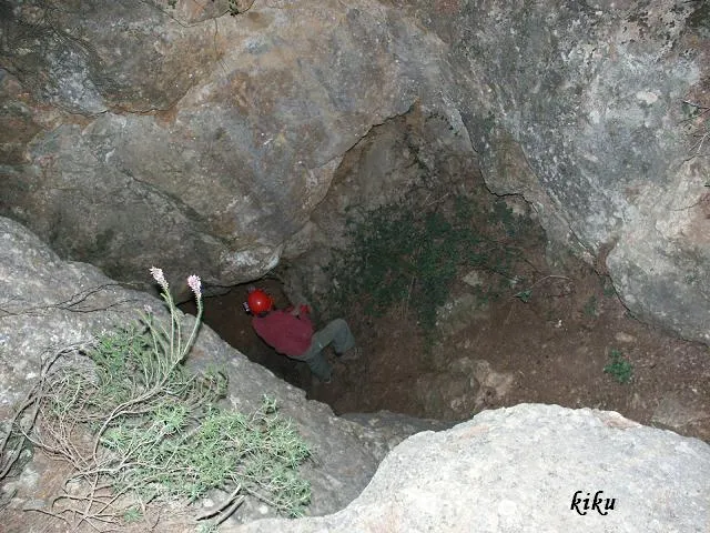
Espeleoindex · CC BY-NC 4.0, https://creativecommons.org/licenses/by-nc/4.0/ · Image © its author.
Description
Morphology
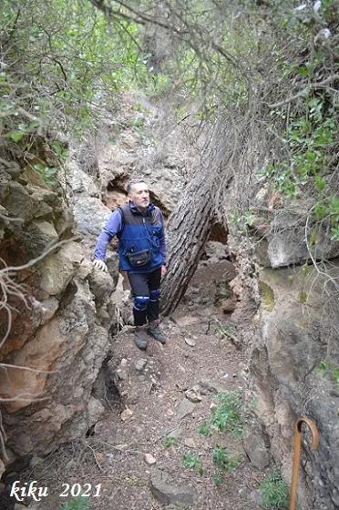
From the upper part it presents a shaft of about 7.5 metres, but it can be accessed from the lower part through a kind of trench obstructed by a large pine in the middle and which, passing under a rock bridge, leads us into the base of the shaft.
Progression
From the upper part it presents a shaft of about 7.5 metres, but it can be accessed from the lower part through a kind of trench obstructed by a large pine in the middle and which, passing under a rock bridge, leads us into the base of the shaft.
History
Known since ancient times and used as a sparry calcite working, it is already cited by N. Llopis in an article published in 1941.
Both in the Catàleg Espeleològic del Massís de l'Ordal (2004) and in the Catàleg Espeleològic de Catalunya (vol.6-2017), the cavity is wrongly cited as disappeared.
User Comments (0)
No comments yet.
Be the first to share your experience!
Registered Explorations (0)
No explorations registered yet.
Register your visit to this cave!
Bibliography
- Llopis Lladó, N. (1941).-”Morfologia e hidrología subterránea de la parte oriental del macizo cárstico de Garraf (Barcelona)”. Estudios Geográficos (4):413-466.
- Rubinat Aumedes, F. (1984). “Catàleg Espeleològic del Massís de Garraf. Unitat Septentrional. Sectors 9-11-13”. GOURS (10) : 19-73. GEFOMA. Barcelona.
- Rubinat Aumedes, F. (2004).-“Catàleg Espeleològic del Massís de l'Ordal”. Espeleosie (Monogràfic):1-117. SIE-CE Àliga. Barcelona.
- Valles, Jordi de (2017).-”Baix Llobregat”. Catàleg Espeleològic de Catalunya (Vol.6):1-468. EC Gràcia/FCE.
- Dades, coordenades i fotografies facilitades per Juli Serrano (SIE-CEA) i Francesc Rubinat (ERE-CEC), abril de 2021.
Nearby caves


Source: Espeleoindex (espeleoindex.com), modified. CC BY-NC 4.0, https://creativecommons.org/licenses/by-nc/4.0/