
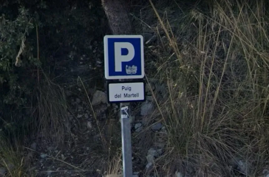
Avenc del Puig del Martell
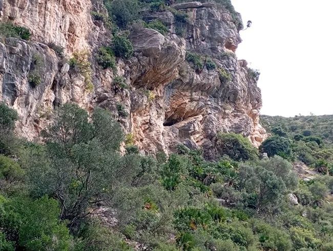
Small 16 m deep pit at the top of a crag of the Puig del Martell (Garraf), located, cleared and explored by members of SIRE – UEC Sants in January 1993.
EspeleoWorld
Avenc del Puig del Martell
Small 16 m deep pit at the top of a crag of the Puig del Martell (Garraf), located, cleared and explored by members of SIRE – UEC Sants in January 1993.
Sitges · Garraf
Length: 27 m · Depth: 16 m
Updated record
https://espeleoworld.com/en/c/avenc-del-puig-del-martell
Information can change. Always verify coordinates, access, weather, and cave conditions before setting out.
Small 16 m deep pit at the top of a crag of the Puig del Martell (Garraf), located, cleared and explored by members of SIRE – UEC Sants in January 1993.
Topographic
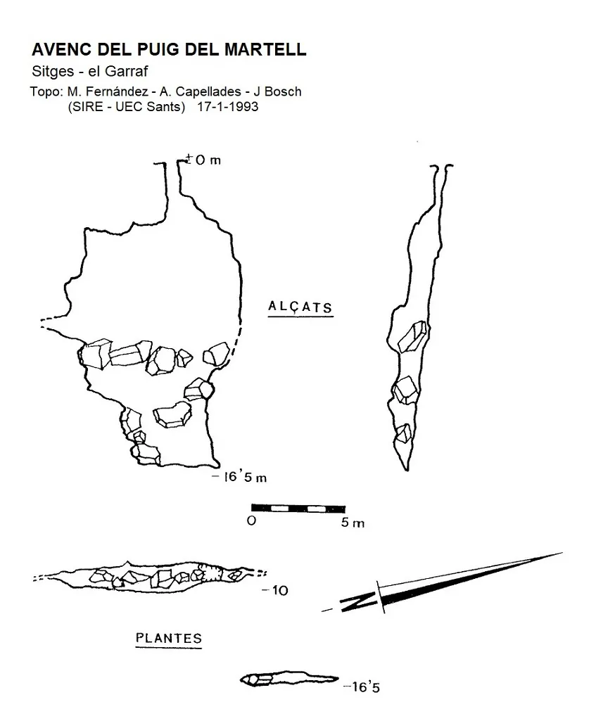
Espeleoindex · CC BY-NC 4.0, https://creativecommons.org/licenses/by-nc/4.0/ · Image © its author.
Photos
Espeleoindex · CC BY-NC 4.0, https://creativecommons.org/licenses/by-nc/4.0/ · Image © its author.
Description
Morphology
The entrance, 30 x 80 cm, gives way to a 10 m shaft of jointed form with the bottom occupied by blocks, which, at the N end of the shaft, leave a way to a descending ramp that places us below the base of the shaft. In the lower part, a passage of tight dimensions leads to the deepest point of the cavity: -16.5 m.
NNE-SSW joint filled by blocks that give rise to the different parts of the cavity.
History
Located, cleared and explored by members of SIRE – UEC Sants in January 1993.
User Comments (0)
No comments yet.
Be the first to share your experience!
Registered Explorations (0)
No explorations registered yet.
Register your visit to this cave!
Bibliography
- SIRE-UEC Sants (1993).- “Avenc del Pic del Martell. Una nova cavitat al massís de Garraf”. Excursionisme (211): 122-123. Unió Excursionista de Catalunya. Barcelona.
Nearby caves
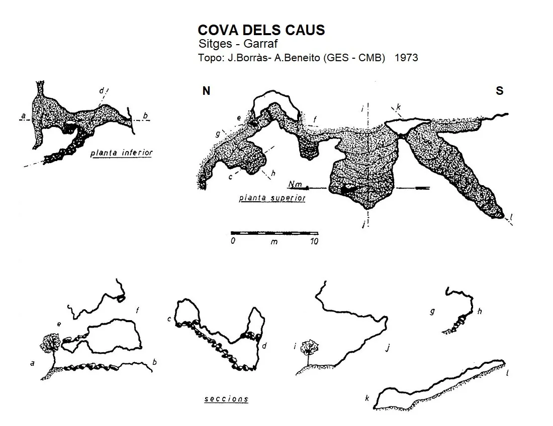


Source: Espeleoindex (espeleoindex.com), modified. CC BY-NC 4.0, https://creativecommons.org/licenses/by-nc/4.0/