
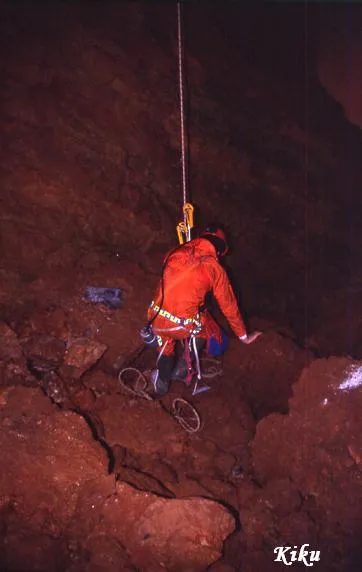
Avenc del Pla de Bassioles
Avenc de 62 metres de fondària al municipi de Vallirana.
EspeleoWorld
Avenc del Pla de Bassioles
Avenc de 62 metres de fondària al municipi de Vallirana.
Vallirana · Baix Llobregat
Length: 75 m · Depth: 62 m
Updated record
https://espeleoworld.com/en/c/avenc-del-pla-de-bassioles
Information can change. Always verify coordinates, access, weather, and cave conditions before setting out.
A 62-metre-deep pit in Vallirana, a former sparry calcite working, with a cylindrical 10-metre shaft and a final chamber full of blocks.
Topographic
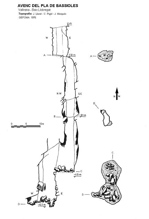

Espeleoindex · CC BY-NC 4.0, https://creativecommons.org/licenses/by-nc/4.0/ · Image © its author.
Photos

Espeleoindex · CC BY-NC 4.0, https://creativecommons.org/licenses/by-nc/4.0/ · Image © its author.
Description
Morphology
Cylindrical shaft 10 metres deep; it is an old sparry calcite working, so the first shaft is artificial. At its base, a narrow passage leads into a shaft structured on a N-S trending joint that must be followed to continue descending; this leads to a 7 x 5 metre platform. A final drop of 9 metres leads to a wide chamber full of blocks.
History
The first mention of the cavity is the one given by members of the Club Muntanyenc Barcelonès during the campaign they carried out in the l'Ordal area from May 1936 until the first months of 1937 (Butlletí CMB, January-June 1937). They mention it in a list of explored cavities without giving any further data than the name.
We have evidence that in April 1962 it was explored by the GES – CMB, but possibly the GIE – CE Gràcia was there around 1958 or 1959.
It has always been a relatively little-visited cavity and when the whole area was urbanised at the beginning of the 1970s, its trace was practically lost. But unlike other neighbouring cavities, which disappeared because of the urbanisation, this one remains in the very middle of a small green area surrounded by detached houses.
User Comments (0)
No comments yet.
Be the first to share your experience!
Registered Explorations (0)
No explorations registered yet.
Register your visit to this cave!
Bibliography
- Rubinat,F.(1988).- “Catàleg Espeleològic del massís del Garraf. Unitat septentrional. Sector 12” Espeleosie (30):13-65. SIE-CE Àliga. Barcelona.
- Garriga, M.(1979).- “Dos cavidades en la cabecera del Fondo del Molí” Exploracions (3):41-45. Barcelona.
Nearby caves
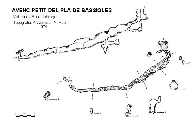
Avenc Petit del Pla de Bassioles
0.1 km · S
Vallirana (Baix Llobregat)
1 topo.
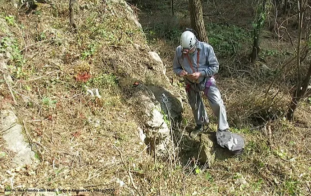
Avenc del Fondo del Molí
0.7 km · W
Olesa de Bonesvalls (Alt Penedès)
1 topo.6 photos
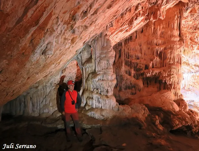
Cova Bonica
0.9 km · N
Vallirana (Baix Llobregat)
1 topo.7 photos
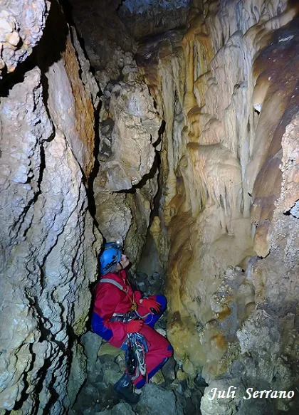
Avenc de la Penya
1.0 km · N
Vallirana (Baix Llobregat)
2 topo.13 photos
Source: Espeleoindex (espeleoindex.com), modified. CC BY-NC 4.0, https://creativecommons.org/licenses/by-nc/4.0/