

Avenc de la Vinyeta
Nice 35 m deep pit at the Port (Horta de Sant Joan).
EspeleoWorld
Avenc de la Vinyeta
Nice 35 m deep pit at the Port (Horta de Sant Joan).
Horta de Sant Joan · Terra Alta
Length: 121 m · Depth: 35 m
Updated record
https://espeleoworld.com/en/c/avenc-de-la-vinyeta
Information can change. Always verify coordinates, access, weather, and cave conditions before setting out.
Nice 35 m deep pit at the Port (Horta de Sant Joan).
Topographic


Espeleoindex · CC BY-NC 4.0, https://creativecommons.org/licenses/by-nc/4.0/ · Image © its author.
Photos

Espeleoindex · CC BY-NC 4.0, https://creativecommons.org/licenses/by-nc/4.0/ · Image © its author.
Description
Morphology
Through a narrow mouth you enter a bell-shaped shaft with a drop of 31 metres and at its base a gallery begins that towards the SW is slightly descending and then changes to an ascending conduit that gradually narrows until it becomes impassable. Back at the base of the shaft, the gallery takes the NE direction and is immediately collapsed by a rocky massif with blocks and lithogenic formations that mask it. There are different conduits inside it and along the upper part it can be passed until reaching a step that leads to the other end of the gallery, which after a few metres is closed at the point of maximum depth (elevation – 35).
Speleothems
Lithogenic formations that mask the rocky massif that collapses the gallery.
History
The first exploration of the pit was carried out by members of the GIE – CE de Gràcia (Barcelona) around the years 1965 or 1966, remaining practically unpublished and we only know of an anonymous mention in a list of activities published in the Club's bulletin, where they also state that the cavity is 75 metres deep. Almost 40 years later, members of the EC Tortosa located the cavity and inside it found a graffiti with the name of the pit and a whole series of Mauser rifle munitions thrown down the shaft, possibly in wartime. In 2004 they fully explored it and surveyed it.
User Comments (0)
No comments yet.
Be the first to share your experience!
Registered Explorations (0)
No explorations registered yet.
Register your visit to this cave!
Bibliography
Coordenades, topografia i fotos cedides per l'EC Tortosa.
Nearby caves
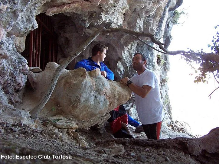
Cova d'en Domingo Grau
1.5 km · W
Horta de Sant Joan (Terra Alta)
4 topo.7 photos
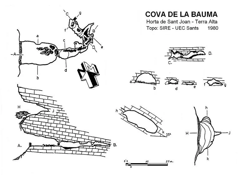
Cova de la Bauma
1.6 km · W
Horta de Sant Joan (Terra Alta)
1 topo.
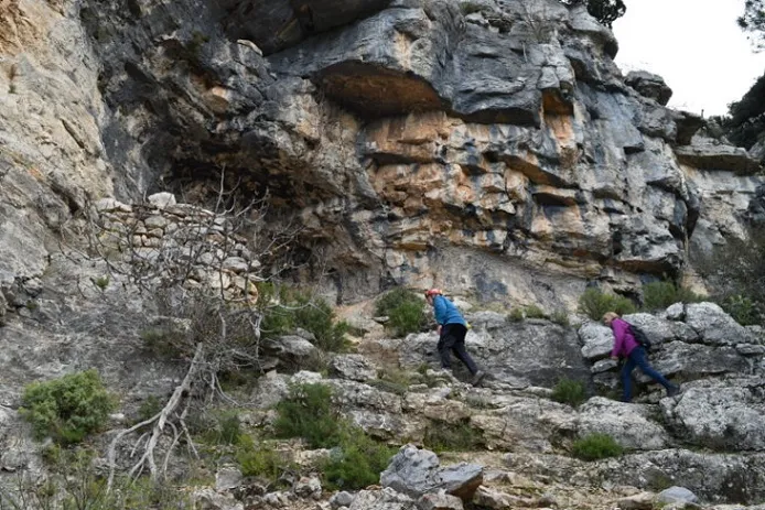
Cova de l'Angerra
1.8 km · W
Horta de Sant Joan (Terra Alta)
1 topo.6 photos
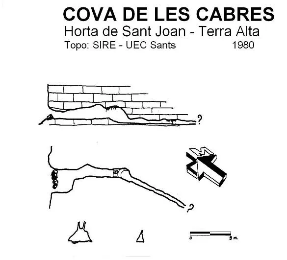
Cova de les Cabres
2.0 km · W
Horta de Sant Joan (Terra Alta)
1 topo.
Source: Espeleoindex (espeleoindex.com), modified. CC BY-NC 4.0, https://creativecommons.org/licenses/by-nc/4.0/