
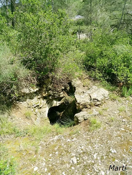
Avenc de la Montse
Avenc de 7 metres de fondària a Subirats, Ordal.
EspeleoWorld
Avenc de la Montse
Avenc de 7 metres de fondària a Subirats, Ordal.
Subirats · Alt Penedès
Length: 9 m · Depth: 7 m
Updated record
https://espeleoworld.com/en/c/avenc-de-la-montse
Information can change. Always verify coordinates, access, weather, and cave conditions before setting out.
A 7-metre-deep pit in Subirats, Ordal, formed by a shaft with a small ledge at 2.8 metres.
Topographic
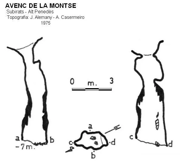
Espeleoindex · CC BY-NC 4.0, https://creativecommons.org/licenses/by-nc/4.0/ · Image © its author.
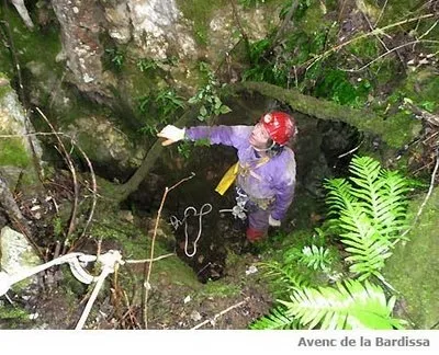
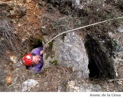
Photos
Espeleoindex · CC BY-NC 4.0, https://creativecommons.org/licenses/by-nc/4.0/ · Image © its author.
Description
Morphology
It is formed by a 7-metre shaft which at 2.8 metres has a small ledge.
History
The first data we have on the exploration of this cavity correspond to J.I Alemany and A. Casermeiro in 1975. In 1983 someone covered the entrance with a large block, although it was later cleared.
User Comments (0)
No comments yet.
Be the first to share your experience!
Registered Explorations (0)
No explorations registered yet.
Register your visit to this cave!
Bibliography
- Rubinat Aumedes, Francesc.(1984).-”Catàleg Espeleològic del Massís de Garraf.-unitat Septentrional” GOURS (10):19-73. GE Foment Martinenc. Barcelona.
Nearby caves


Source: Espeleoindex (espeleoindex.com), modified. CC BY-NC 4.0, https://creativecommons.org/licenses/by-nc/4.0/