
Avenc de l'Escletxa
Esquerda de 33 m. de fondària a Mont-ral
EspeleoWorld
Avenc de l'Escletxa
Esquerda de 33 m. de fondària a Mont-ral
Mont-ral · Alt Camp
Length: 133 m · Depth: 33 m
Updated record
https://espeleoworld.com/en/c/avenc-de-l-escletxa
Information can change. Always verify coordinates, access, weather, and cave conditions before setting out.
33 m deep pit at Mont-ral, located and explored by the AAEET de Valls on 29 October 1995; in 2018 Montse Roca and Juli Serrano (SIE-CEA) locate two new entrances there and in February 2019 it is checked and surveyed.
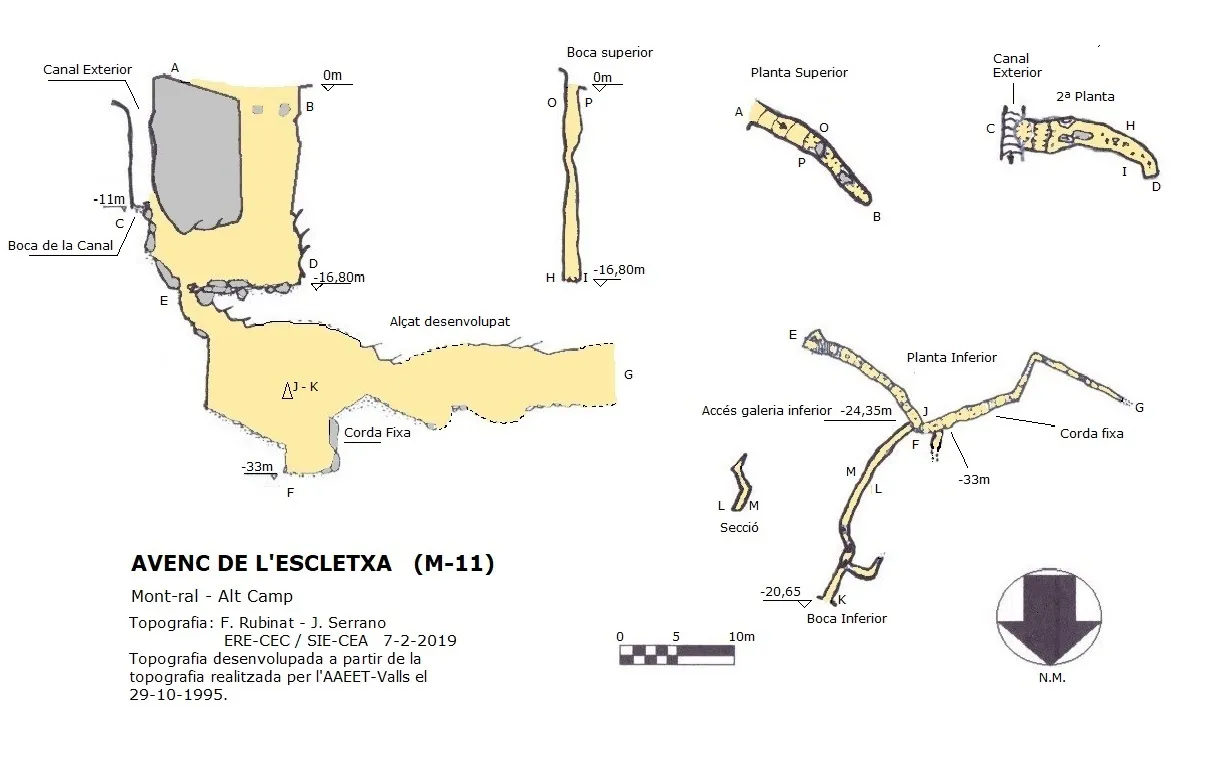
Topographic
Espeleoindex · CC BY-NC 4.0, https://creativecommons.org/licenses/by-nc/4.0/ · Image © its author.
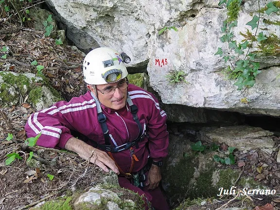
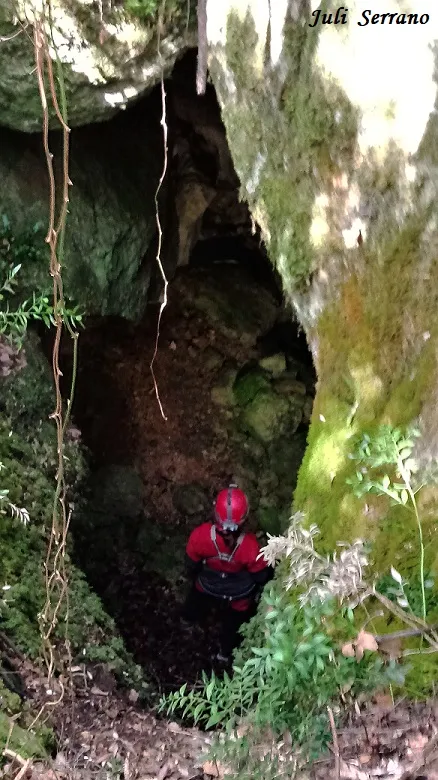
Photos
Espeleoindex · CC BY-NC 4.0, https://creativecommons.org/licenses/by-nc/4.0/ · Image © its author.
Description
Morphology
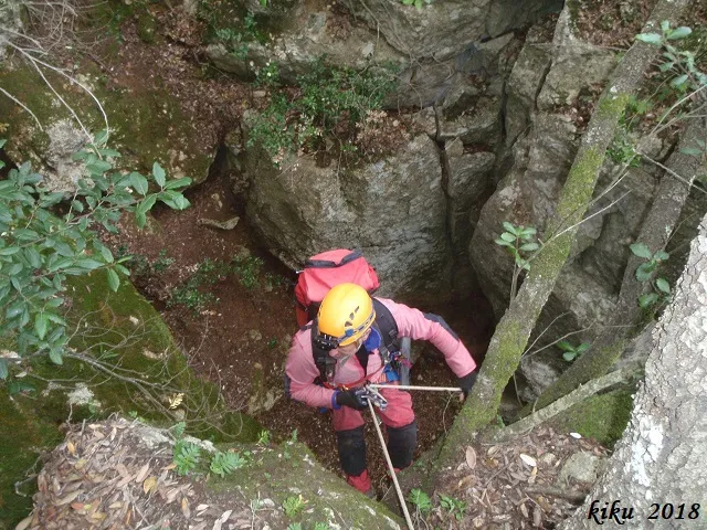
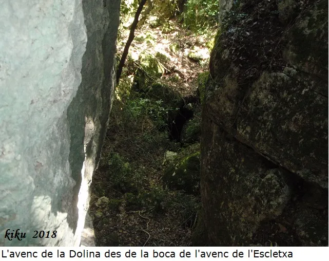
33 m deep pit. From the upper entrance, we find a first shaft of a little more than 5 metres that we can overcome by entering from one side, where a sloping ramp places us at the vertical of a P-12, at its base a gallery leads us to just below the entrance that opens at the base of a gully hanging from the cliff. From this entrance we must descend a step to reach the level of the gallery where we are, at this point a 10 metre shaft opens, at its base we find a winding joint that descends until reaching the maximum level of -33 metres, just at this point and at 8.65 metres height a perpendicular gallery opens that, following it, takes us outside through a cave-shaped entrance. From the previous point at -33 metres, if we follow the gallery we find a fixed rope that allows us to overcome a step of about 5 metres height, the gallery continues until it becomes impenetrable, but with a strong air current.
Progression
From the upper entrance, we find a first shaft of a little more than 5 metres that we can overcome by entering from one side, where a sloping ramp places us at the vertical of a P-12, at its base a gallery leads us to just below the entrance that opens at the base of a gully hanging from the cliff. From this entrance we must descend a step to reach the level of the gallery where we are, at this point a 10 metre shaft opens, at its base we find a winding joint that descends until reaching the maximum level of -33 metres, just at this point and at 8.65 metres height a perpendicular gallery opens that, following it, takes us outside through a cave-shaped entrance. From the previous point at -33 metres, if we follow the gallery we find a fixed rope that allows us to overcome a step of about 5 metres height, the gallery continues until it becomes impenetrable, but with a strong air current.
History
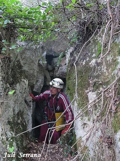
Located and explored by members of the AAEET de Valls on 29 October 1995, during 2018 Montse Roca and Juli Serrano (SIE-CEA) explore it again and locate two new entrances to the cavity. In February 2019 members of the SIE-CEA and of the ERE del CEC fully check it and carry out the survey.
User Comments (0)
No comments yet.
Be the first to share your experience!
Registered Explorations (0)
No explorations registered yet.
Register your visit to this cave!
Bibliography
- Dades inèdites aportades per Ramon Sendra.
- Fitxa actualitzada a febrer de 2019, dades, coordenades, situació, topografia i fotografies, facilitades per Juli Serrano, Montse Roca (SIE-CEA) i Francesc Rubinat (ERE-CEC).
Nearby caves


Source: Espeleoindex (espeleoindex.com), modified. CC BY-NC 4.0, https://creativecommons.org/licenses/by-nc/4.0/