
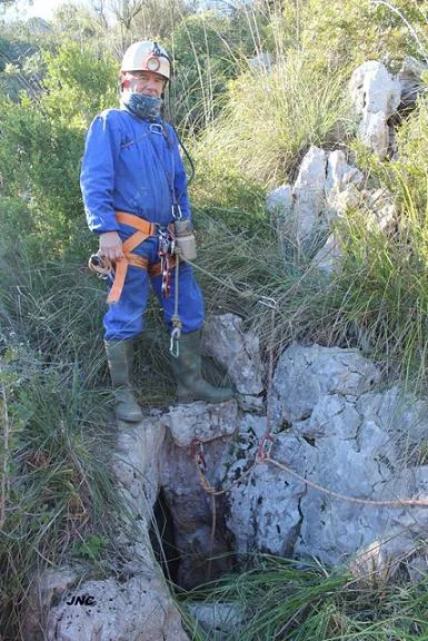
Avenc de l'Amistat
An 18 m deep pit in the Fondo de Vallbona (Garraf), with a 7 m entrance shaft and a 7.5 m vertical drop. Discovered and explored around 1960 by members of SES Puigmal.
EspeleoWorld
Avenc de l'Amistat
An 18 m deep pit in the Fondo de Vallbona (Garraf), with a 7 m entrance shaft and a 7.5 m vertical drop. Discovered and explored around 1960 by members of SES Puigmal.
Sitges · Garraf
Length: 26 m · Depth: 18 m
Updated record
https://espeleoworld.com/en/c/avenc-de-l-amistat
Information can change. Always verify coordinates, access, weather, and cave conditions before setting out.
An 18 m deep pit in the Fondo de Vallbona (Garraf), with a 7 m entrance shaft and a 7.5 m vertical drop. Discovered and explored around 1960 by members of SES Puigmal.
Topographic
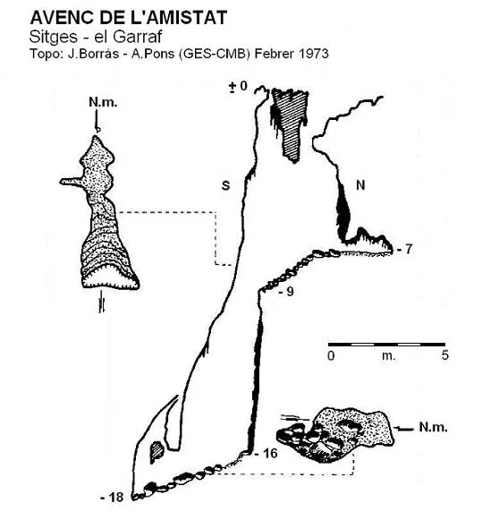
Espeleoindex · CC BY-NC 4.0, https://creativecommons.org/licenses/by-nc/4.0/ · Image © its author.
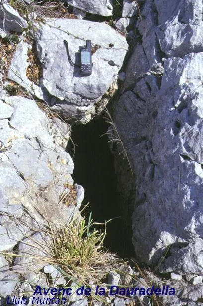
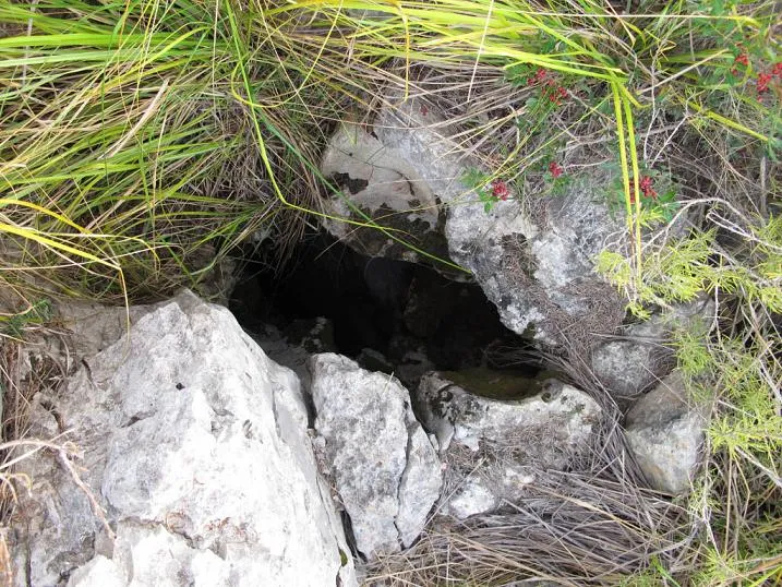
Photos
Espeleoindex · CC BY-NC 4.0, https://creativecommons.org/licenses/by-nc/4.0/ · Image © its author.
Description
Morphology
A small entrance that leads to a 7 metre deep shaft, joined on the S side with another vertical passage that also communicates with the outside through an impenetrable hole. The plan of this entrance shaft is formed by a descending ramp that after a few metres communicates with a new vertical drop, this one of 7.5 metres of height difference, with the bottom occupied by clastic materials and which, with a certain inclination towards the S, leads in a few metres to a final chamber where the maximum depth is reached.
Speleothems
The reconstruction process is well represented by a series of wall flowstone throughout the whole cavity.
History
Discovered and explored around the year 1960 by members of the SES Puigmal (Barcelona), among whom we believe we remember was Emili Sabaté himself.
User Comments (0)
No comments yet.
Be the first to share your experience!
Registered Explorations (0)
No explorations registered yet.
Register your visit to this cave!
Bibliography
- Borràs, J. (1974).- Catálogo espeleológico del macizo de Garraf. Vol. II. 166 pp. Barcelona.
- Coordenades i fotografies “JNC” facilitades per Jordi Navarro (Centre Excursionista de Castellar del Vallès).
- Topografia actualitzada pel GE Badalona extreta del blog: cavitatsdecatalunya.blogspot (de Jordi de Valles).
Nearby caves
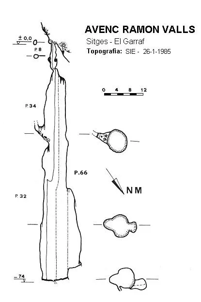


Source: Espeleoindex (espeleoindex.com), modified. CC BY-NC 4.0, https://creativecommons.org/licenses/by-nc/4.0/