
Buco di C..o
Small cavity with a planimetric development of about 30 metres and a depth of 8 metres, located vertically above the last chambers of the grotta GIS, with clear signs of water flow.
EspeleoWorld
Buco di C..o
Small cavity with a planimetric development of about 30 metres and a depth of 8 metres, located vertically above the last chambers of the grotta GIS, with clear signs of water flow.
Terni
Länge: 30 m · Tiefe: 8 m
Aktueller Datensatz
https://espeleoworld.com/de/c/buco-di-c-o-terni-terni
Informationen können sich ändern. Koordinaten, Zugang, Wetter und Höhlenbedingungen vor dem Aufbruch immer prüfen.
Small cavity with a planimetric development of about 30 metres and a depth of 8 metres, located vertically above the last chambers of the grotta GIS, with clear signs of water flow.
Beschreibung
Morphologie
Small cavity with a planimetric development of about 30 metres and a depth of 8 metres.
Hydrologie
It shows clear signs of water flow.
Weitere Einzelheiten
It is located vertically above the last chambers of the grotta GIS.
Geology: RET Limestones and Marls with Rhaetavicula Contorta - Upper Triassic (Rhaetian).
Benutzerkommentare (0)
Noch keine Kommentare.
Seien Sie der Erste, der seine Erfahrung teilt!
Registrierte Erkundungen (0)
Noch keine Erkundungen registriert.
Registrieren Sie Ihren Besuch in dieser Höhle!
Höhlen in der Nähe
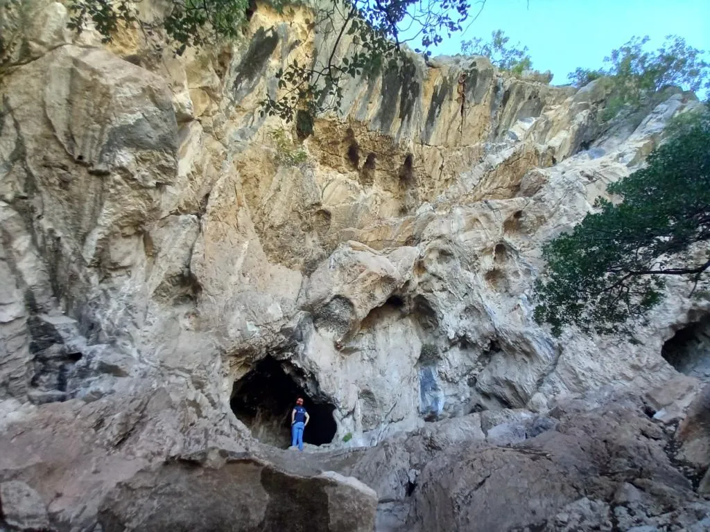
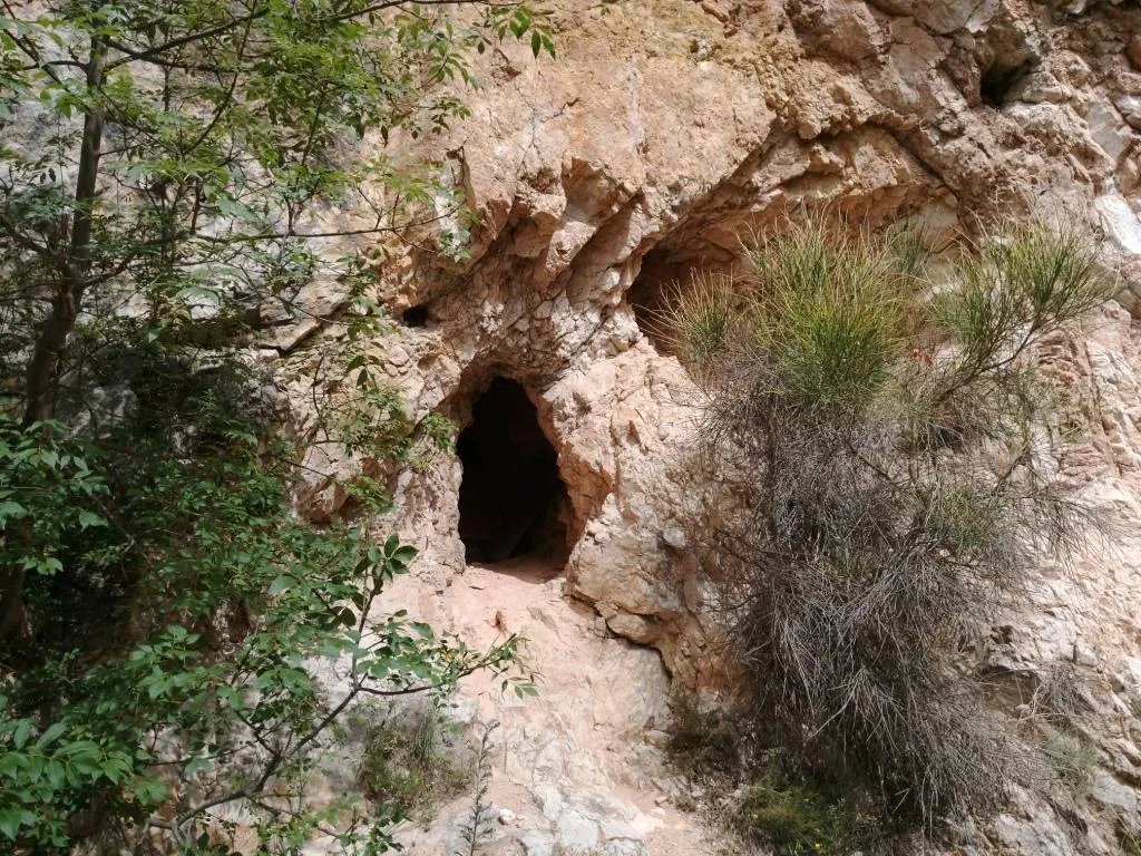
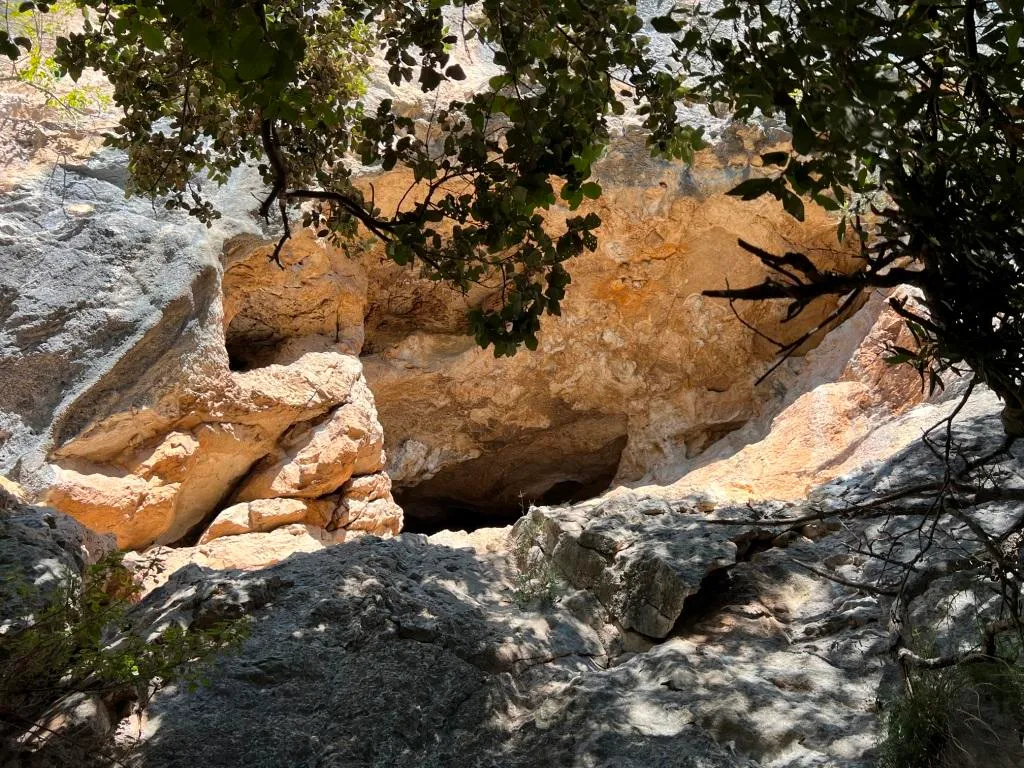
Quelle: Catasto Cavità Umbria (Federazione Umbra Gruppi Speleologici, FUGS) (catasto.fugs.it), verändert. LicenseRef-FUGS-no-licence-stated Federazione Umbra Gruppi Speleologici (FUGS), Catasto Speleologico dell'Umbria · https://catasto.fugs.it/index.php?mod=caves&op=view&id=893 · Datenstand 2025