
Pozzo del Falcetto di Sandro
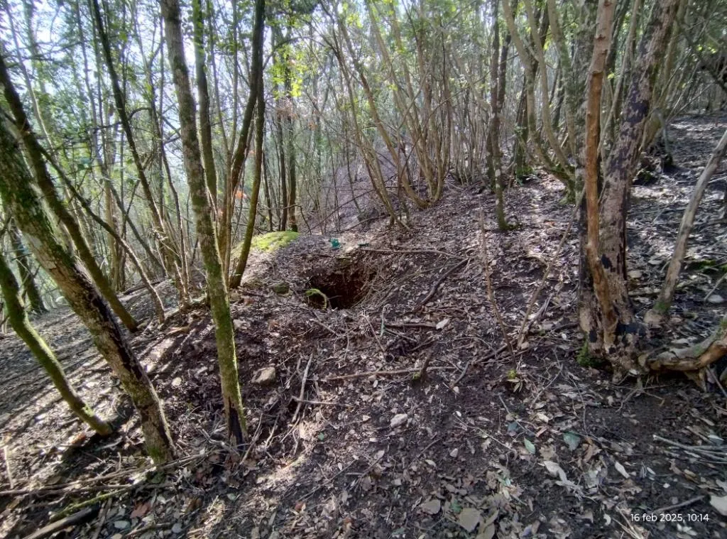
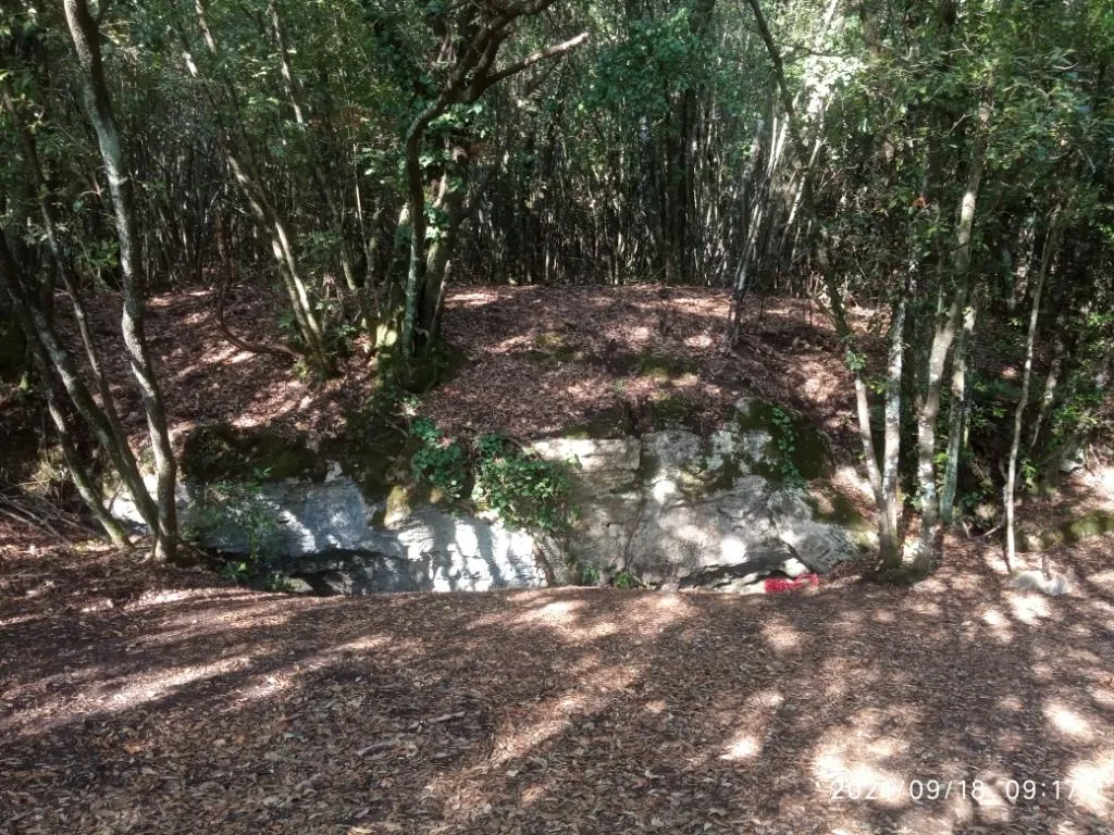
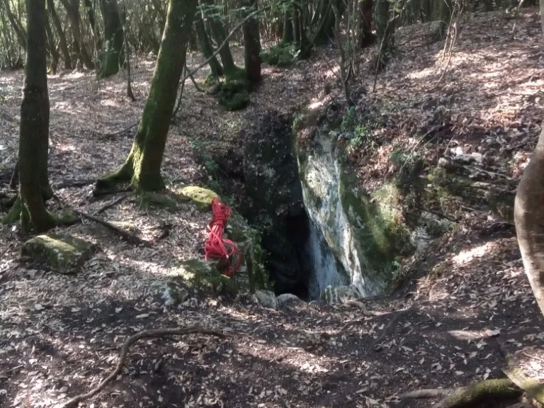
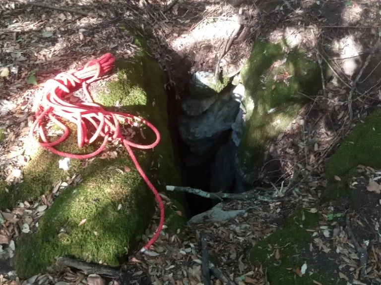
Vertical cavity with an 8-metre pit ending in a fissure with loose earthy floor, accessible through a small 50 cm diameter hole in the flat ground among the trees.
EspeleoWorld
Pozzo del Falcetto di Sandro
Vertical cavity with an 8-metre pit ending in a fissure with loose earthy floor, accessible through a small 50 cm diameter hole in the flat ground among the trees.
Orvieto
الطول: 3 m · العمق: 8 m
السجل المحدّث
https://espeleoworld.com/ar/c/pozzo-del-falcetto-di-sandro-orvieto-terni
قد تتغير المعلومات. تحقق دائمًا من الإحداثيات والوصول والطقس وظروف الكهف قبل الانطلاق.
Vertical cavity with an 8-metre pit ending in a fissure with loose earthy floor, accessible through a small 50 cm diameter hole in the flat ground among the trees.
الصور
© Mauro Barbieri · LicenseRef-FUGS-media-per-item · Federazione Umbra Gruppi Speleologici (FUGS), Catasto Speleologico dell'Umbria · https://catasto.fugs.it/index.php?mod=caves&op=view&id=918
الوصف
الشكل
8-metre pit ending in a fissure with loose earthy floor. Vertical trend.
التقدم
Demanding traversability; recommended period all year round. Rigging required. Progression difficulty: pits, narrow passages. Hazards: dangerous access, landslides/collapses, pits that discharge.
تفاصيل أخرى
Geology: between carbonate and travertine deposits - Quaternary (Pleistocene - Holocene); Travertines; massive.
تعليقات المستخدمين (0)
لا توجد تعليقات بعد.
كن أول من يشارك تجربته!
الاستكشافات المسجلة (0)
لا توجد استكشافات مسجلة بعد.
سجل زيارتك لهذا الكهف!
الكهوف القريبة

المصدر: Catasto Cavità Umbria (Federazione Umbra Gruppi Speleologici, FUGS) (catasto.fugs.it)، مع تعديلات. LicenseRef-FUGS-no-licence-stated Federazione Umbra Gruppi Speleologici (FUGS), Catasto Speleologico dell'Umbria · https://catasto.fugs.it/index.php?mod=caves&op=view&id=918 · بيانات عام 2025 · المصدر: Catasto Cavità Umbria (Federazione Umbra Gruppi Speleologici, FUGS) (catasto.fugs.it)، مع تعديلات. LicenseRef-FUGS-media-per-item Federazione Umbra Gruppi Speleologici (FUGS), Catasto Speleologico dell'Umbria · بيانات عام 2025