
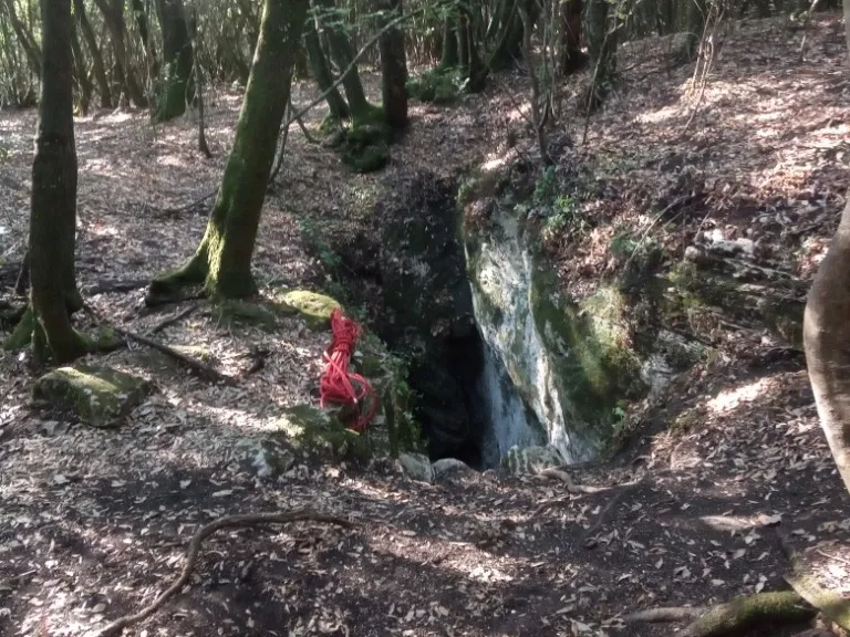
Pozzi della Piana Ingresso Scivolo
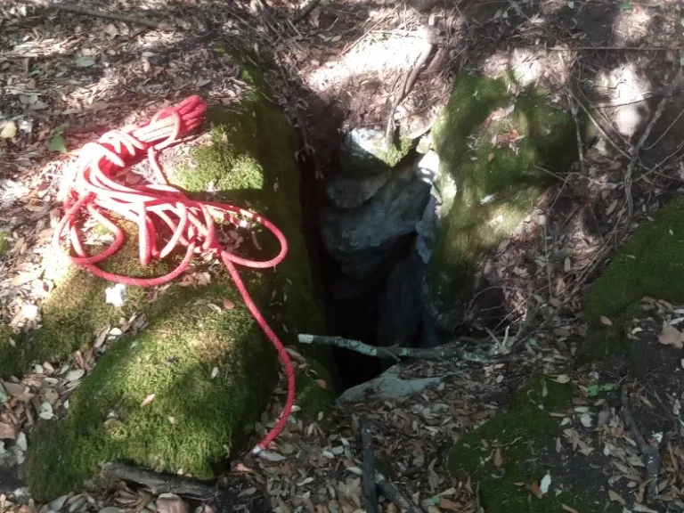
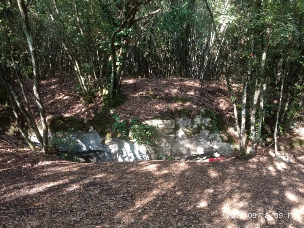
A 10-metre fissure that, with a slide along its entire length, allows access to the cave.
EspeleoWorld
Pozzi della Piana Ingresso Scivolo
A 10-metre fissure that, with a slide along its entire length, allows access to the cave.
Orvieto
طول النظام: 2555 m · عمق النظام: 21 m
السجل المحدّث
https://espeleoworld.com/ar/c/pozzi-della-piana-ingresso-scivolo-orvieto-terni
قد تتغير المعلومات. تحقق دائمًا من الإحداثيات والوصول والطقس وظروف الكهف قبل الانطلاق.
A 10-metre fissure that, with a slide along its entire length, allows access to the cave.
الصور
© Mauro Barbieri · LicenseRef-FUGS-media-per-item · Federazione Umbra Gruppi Speleologici (FUGS), Catasto Speleologico dell'Umbria · https://catasto.fugs.it/index.php?mod=caves&op=view&id=872
الوصف
الشكل
A 10-metre fissure that, with a slide along its entire length, allows access to the cave. Trend: predominantly horizontal.
التقدم
Traversability: demanding; recommended period: all year. Rigging: temporary. Hazards: dangerous access.
تفاصيل أخرى
Geology: between carbonate and travertine deposits - Quaternary (Pleistocene - Holocene); Travertines; obliterated; subhorizontal.
التاريخ
Finds: archaeological, palethnological. Studies: archaeological, palethnological, anthropological.
تعليقات المستخدمين (0)
لا توجد تعليقات بعد.
كن أول من يشارك تجربته!
الاستكشافات المسجلة (0)
لا توجد استكشافات مسجلة بعد.
سجل زيارتك لهذا الكهف!
الكهوف القريبة

المصدر: Catasto Cavità Umbria (Federazione Umbra Gruppi Speleologici, FUGS) (catasto.fugs.it)، مع تعديلات. LicenseRef-FUGS-no-licence-stated Federazione Umbra Gruppi Speleologici (FUGS), Catasto Speleologico dell'Umbria · https://catasto.fugs.it/index.php?mod=caves&op=view&id=872 · بيانات عام 2025 · المصدر: Catasto Cavità Umbria (Federazione Umbra Gruppi Speleologici, FUGS) (catasto.fugs.it)، مع تعديلات. LicenseRef-FUGS-media-per-item Federazione Umbra Gruppi Speleologici (FUGS), Catasto Speleologico dell'Umbria · بيانات عام 2025