
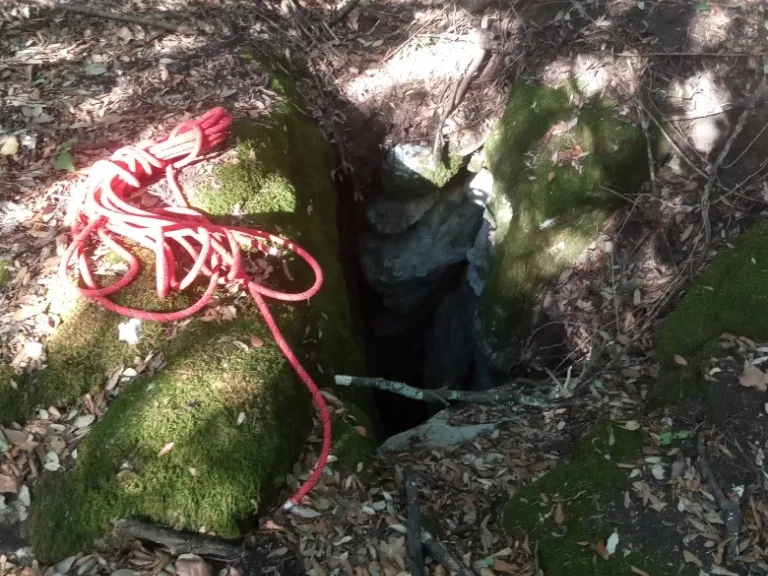
Pozzi della Piana Ingresso Dinamite
A ground-level hole near the slide entrance, with a predominantly horizontal trend and demanding traversability.
EspeleoWorld
Pozzi della Piana Ingresso Dinamite
A ground-level hole near the slide entrance, with a predominantly horizontal trend and demanding traversability.
Orvieto
طول النظام: 2555 m · عمق النظام: 21 m
السجل المحدّث
https://espeleoworld.com/ar/c/pozzi-della-piana-ingresso-dinamite-orvieto-terni
قد تتغير المعلومات. تحقق دائمًا من الإحداثيات والوصول والطقس وظروف الكهف قبل الانطلاق.
A ground-level hole near the slide entrance, with a predominantly horizontal trend and demanding traversability.
الصور
© Mauro Barbieri · LicenseRef-FUGS-media-per-item · Federazione Umbra Gruppi Speleologici (FUGS), Catasto Speleologico dell'Umbria · https://catasto.fugs.it/index.php?mod=caves&op=view&id=873
الوصف
الشكل
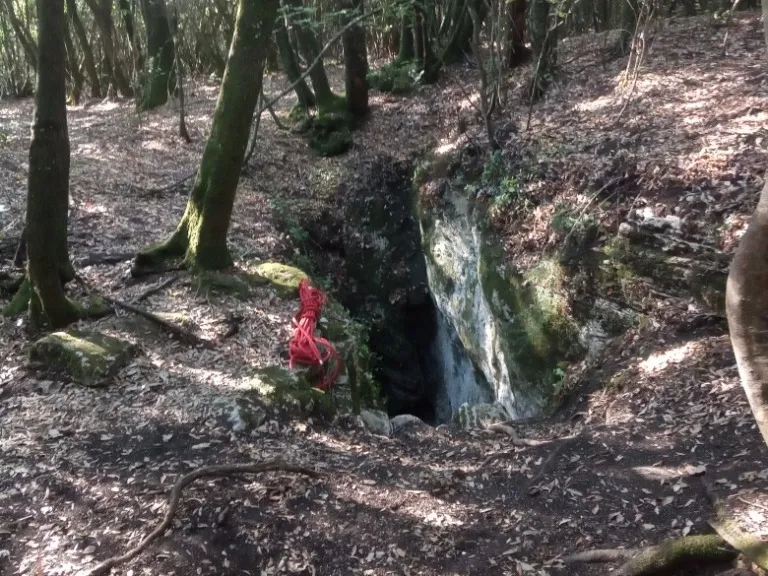
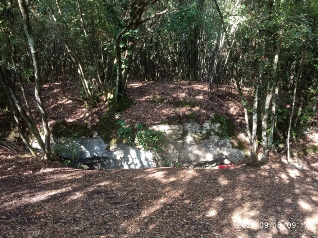
Ground-level hole in the vicinity of the slide entrance. On the rocks surrounding the entrance, the grooves produced by the small ladders used in the past for access can be seen.
Trend: Predominantly horizontal.
التقدم
Traversability: Demanding; recommended period: All year. Rigging: Temporary. Hazards: Dangerous access.
تفاصيل أخرى
Geology: TRA Carbonate and travertine deposits - Quaternary (Pleistocene - Holocene); Travertines; Obliterated.
التاريخ
Finds: Archaeological, Palaeoethnological. Studies: Archaeological, Palaeoethnological, Anthropological.
الأحياء
Studies and monitoring: Biospeleological.
تعليقات المستخدمين (0)
لا توجد تعليقات بعد.
كن أول من يشارك تجربته!
الاستكشافات المسجلة (0)
لا توجد استكشافات مسجلة بعد.
سجل زيارتك لهذا الكهف!
الكهوف القريبة

المصدر: Catasto Cavità Umbria (Federazione Umbra Gruppi Speleologici, FUGS) (catasto.fugs.it)، مع تعديلات. LicenseRef-FUGS-no-licence-stated Federazione Umbra Gruppi Speleologici (FUGS), Catasto Speleologico dell'Umbria · https://catasto.fugs.it/index.php?mod=caves&op=view&id=873 · بيانات عام 2025 · المصدر: Catasto Cavità Umbria (Federazione Umbra Gruppi Speleologici, FUGS) (catasto.fugs.it)، مع تعديلات. LicenseRef-FUGS-media-per-item Federazione Umbra Gruppi Speleologici (FUGS), Catasto Speleologico dell'Umbria · بيانات عام 2025