
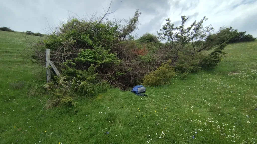
Pozzicoletto
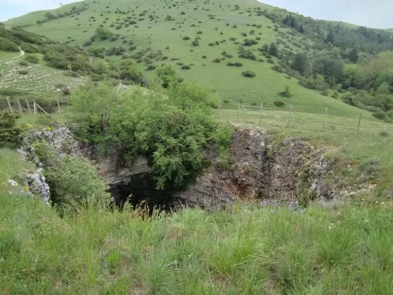
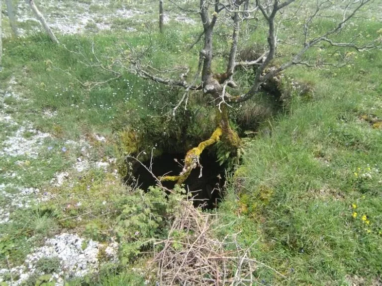
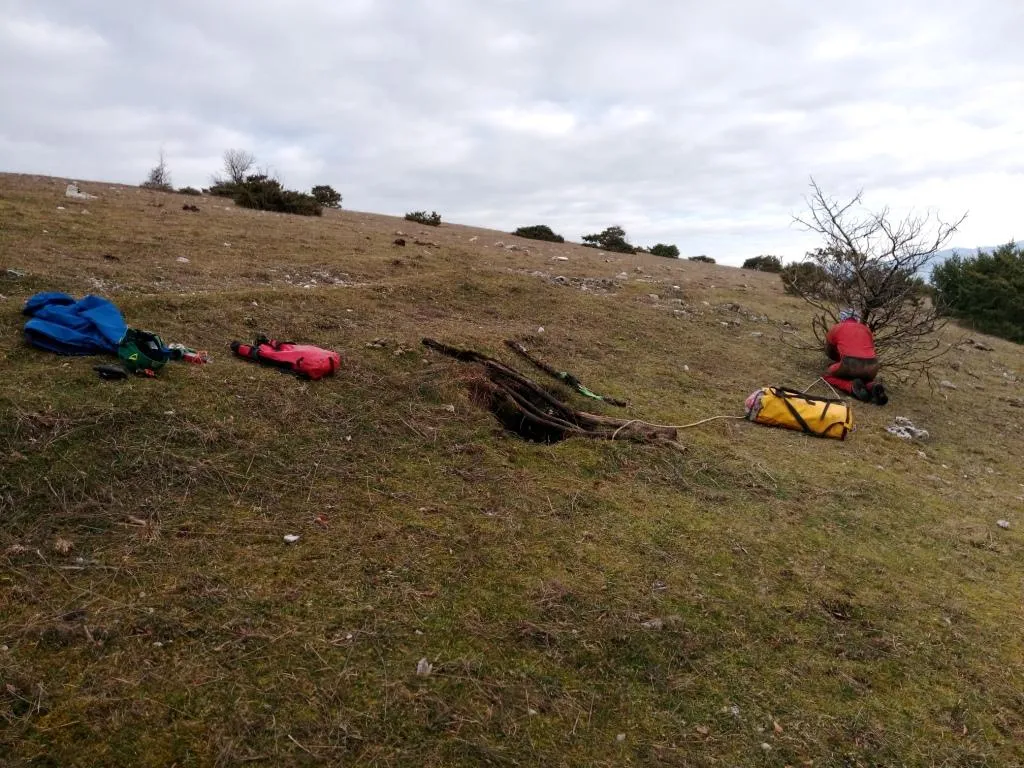
A pit with a collapse chamber, with a surface opening about 2 m in diameter and a depth of about 5 m, whose underlying hall is almost oval in shape.
EspeleoWorld
Pozzicoletto
A pit with a collapse chamber, with a surface opening about 2 m in diameter and a depth of about 5 m, whose underlying hall is almost oval in shape.
Spoleto
Длина: 4 m · Глубина: 8 m
Актуальная запись
https://espeleoworld.com/ru/c/pozzicoletto-spoleto-perugia
Информация может меняться. Перед выходом всегда проверяйте координаты, доступ, погоду и состояние пещеры.
A pit with a collapse chamber, with a surface opening about 2 m in diameter and a depth of about 5 m, whose underlying hall is almost oval in shape.
Фотографии
© Mauro Barbieri · LicenseRef-FUGS-media-per-item · Federazione Umbra Gruppi Speleologici (FUGS), Catasto Speleologico dell'Umbria · https://catasto.fugs.it/index.php?mod=caves&op=view&id=115
Описание
Морфология
Pit with a chamber, a collapse structure with a surface opening about 2 m in diameter and a depth of about 5 m. The underlying hall has an almost oval shape. Trend: horizontal/vertical.
Прохождение
Traversability: demanding; recommended period all year round. Rigging: necessary. Progression difficulty: pits. Hazards: dangerous access.
Другие сведения
Geology: MAI Maiolica - Upper Jurassic-Lower Cretaceous (Tithonian-Aptian).
Комментарии пользователей (0)
Комментариев пока нет.
Станьте первым, кто поделится своим опытом!
Зарегистрированные исследования (0)
Зарегистрированных исследований пока нет.
Зарегистрируйте свое посещение этой пещеры!
Библиография
LOTTI B. (1917) Il gruppo montuoso del Monte Martano MONTANARI R. (1940) I Monti Martani FAMIANI F. & CARDINALI R. (2018) Esplorazioni Monti Martani Gennaio-Febbraio 2018
Ближайшие пещеры

Источник: Catasto Cavità Umbria (Federazione Umbra Gruppi Speleologici, FUGS) (catasto.fugs.it), с изменениями. LicenseRef-FUGS-no-licence-stated Federazione Umbra Gruppi Speleologici (FUGS), Catasto Speleologico dell'Umbria · https://catasto.fugs.it/index.php?mod=caves&op=view&id=115 · данные на 2025 г. · Источник: Catasto Cavità Umbria (Federazione Umbra Gruppi Speleologici, FUGS) (catasto.fugs.it), с изменениями. LicenseRef-FUGS-media-per-item Federazione Umbra Gruppi Speleologici (FUGS), Catasto Speleologico dell'Umbria · данные на 2025 г.