
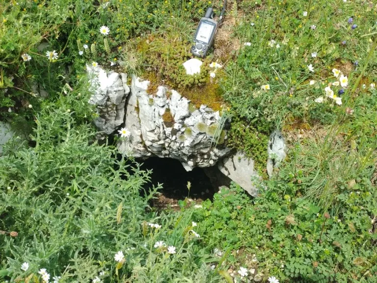
Cavità di Monte Capoccia Pelata
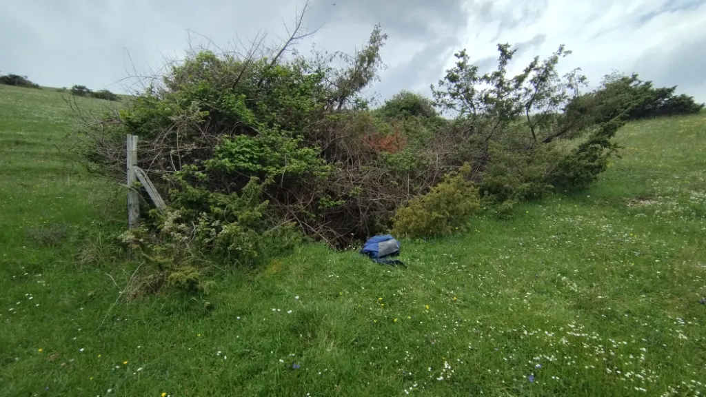
Cave formed on a fault in the Monti Martani, with horizontal development and deepening along the fracture, whose entrance, about 50 cm in diameter, opens in the flat meadow.
EspeleoWorld
Cavità di Monte Capoccia Pelata
Cave formed on a fault in the Monti Martani, with horizontal development and deepening along the fracture, whose entrance, about 50 cm in diameter, opens in the flat meadow.
Spoleto
Длина: 45 m · Глубина: 17 m
Актуальная запись
https://espeleoworld.com/ru/c/cavita-di-monte-capoccia-pelata-spoleto-perugia
Информация может меняться. Перед выходом всегда проверяйте координаты, доступ, погоду и состояние пещеры.
Cave formed on a fault in the Monti Martani, with horizontal development and deepening along the fracture, whose entrance, about 50 cm in diameter, opens in the flat meadow.
Топография
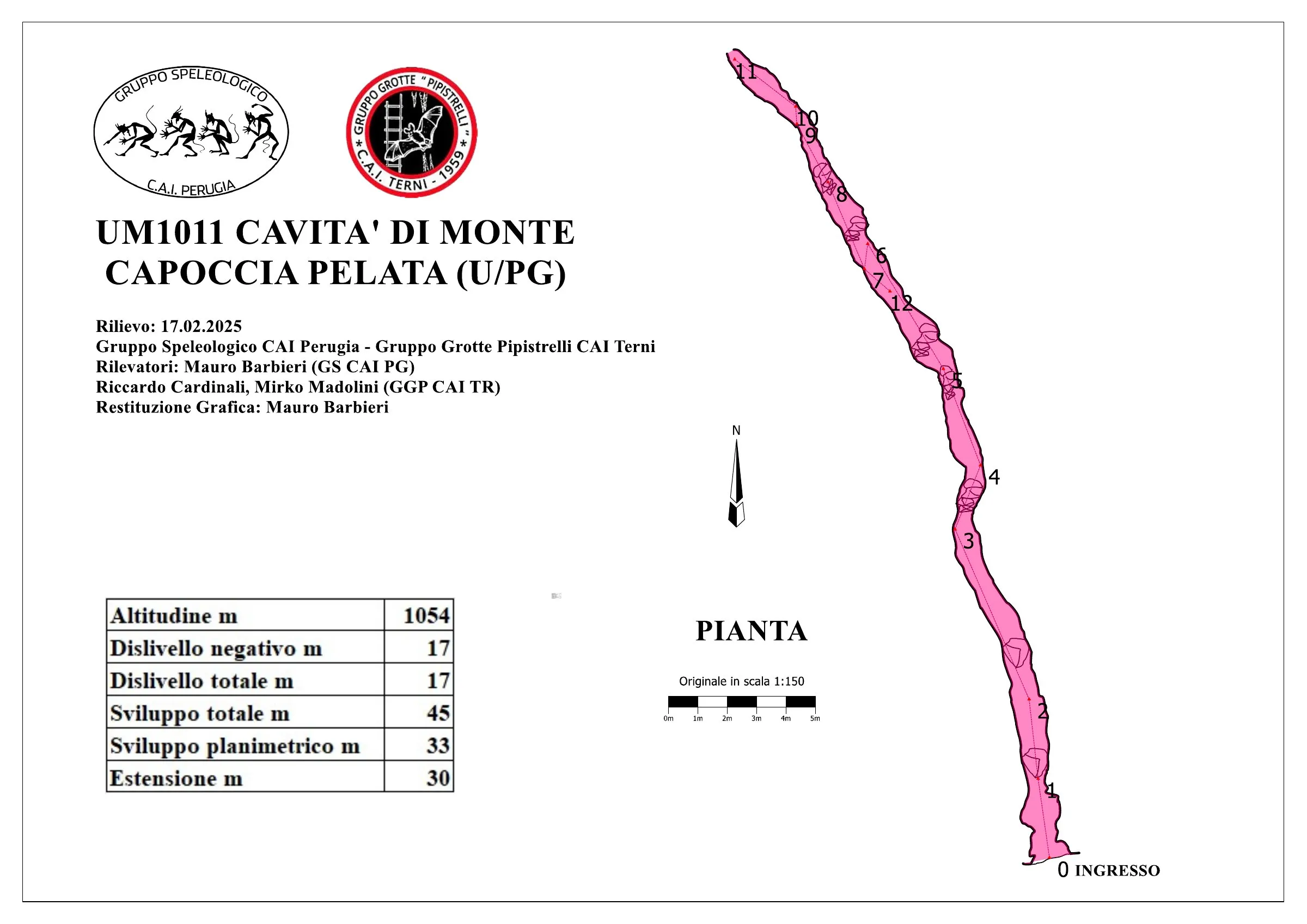
© Mauro Barbieri · CC BY-SA 4.0, https://creativecommons.org/licenses/by-sa/4.0/ · Federazione Umbra Gruppi Speleologici (FUGS), Catasto Speleologico dell'Umbria · https://catasto.fugs.it/index.php?mod=caves&op=view&id=1011
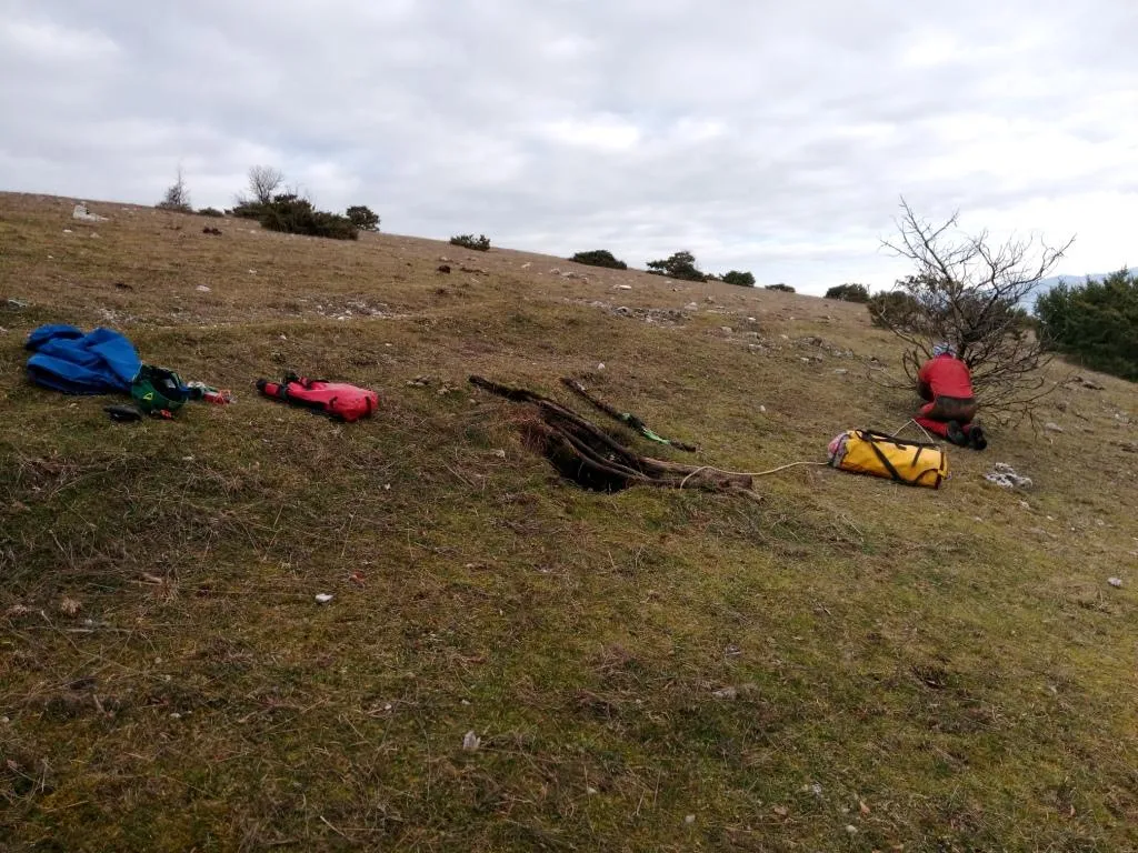
Фотографии
© Mauro Barbieri · LicenseRef-FUGS-media-per-item · Federazione Umbra Gruppi Speleologici (FUGS), Catasto Speleologico dell'Umbria · https://catasto.fugs.it/index.php?mod=caves&op=view&id=1011
Описание
Морфология
Fissure formed on a fault with horizontal development but with deepening that follows the fracture, currently impassable but with the possibility of clearing and widening. Trend: horizontal/vertical. The cave develops within the Maiolica formation (Upper Jurassic-Lower Cretaceous, Tithonian-Aptian), stratified micritic limestones, along a tectonic structure with a north-western trend (about 330°). The fault within which the cave develops is directly connected to the tectonic system that develops in the Fosso di Pozzale valley and that gave rise to the other caves (Pozzale, Pozzicola and Pozzicoletto).
Спелеотемы
Abundant presence of moonmilk along the walls.
Гидрология
No significant air flows were detected - 2018. Water difficulties: other water-related.
Прохождение
Traversability: experts only; recommended period all year round. Progression difficulty: pits, narrow passages, traverses. Rigging: temporary; an aerial traverse must be rigged along the fracture since the cave is made slippery by the abundant presence of moonmilk on the walls. Hazards: dangerous access.
История
Notes on the name: it takes its name from the mountain of the same name.
Биология
Bats: certainly present given the presence of guano on 17/02/2025.
Комментарии пользователей (0)
Комментариев пока нет.
Станьте первым, кто поделится своим опытом!
Зарегистрированные исследования (0)
Зарегистрированных исследований пока нет.
Зарегистрируйте свое посещение этой пещеры!
Библиография
LOTTI B. (1917) Il gruppo montuoso del Monte Martano MONTANARI R. (1940) I Monti Martani FAMIANI F. & CARDINALI R. (2018) Esplorazioni Monti Martani Gennaio-Febbraio 2018
Ближайшие пещеры


Источник: Catasto Cavità Umbria (Federazione Umbra Gruppi Speleologici, FUGS) (catasto.fugs.it), с изменениями. LicenseRef-FUGS-no-licence-stated Federazione Umbra Gruppi Speleologici (FUGS), Catasto Speleologico dell'Umbria · https://catasto.fugs.it/index.php?mod=caves&op=view&id=1011 · данные на 2025 г. · Источник: Catasto Cavità Umbria (Federazione Umbra Gruppi Speleologici, FUGS) (catasto.fugs.it), с изменениями. LicenseRef-FUGS-media-per-item Federazione Umbra Gruppi Speleologici (FUGS), Catasto Speleologico dell'Umbria · данные на 2025 г.