
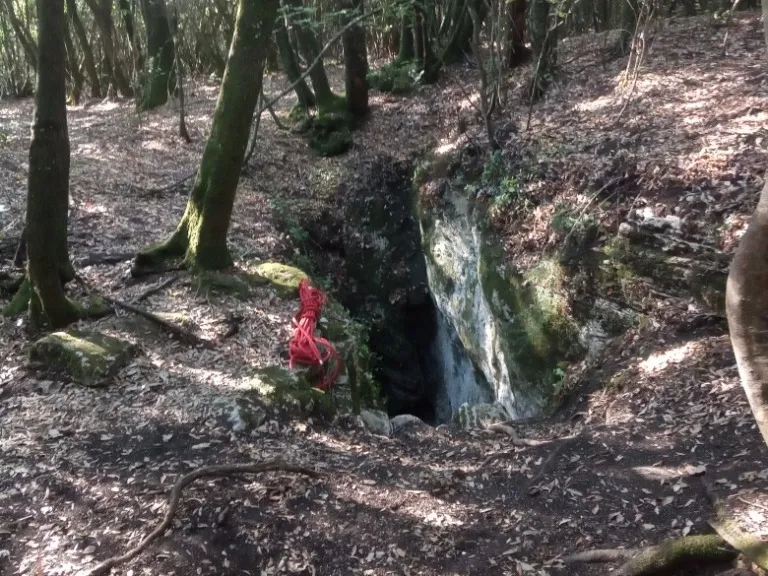
Pozzi della Piana Ingresso Scivolo
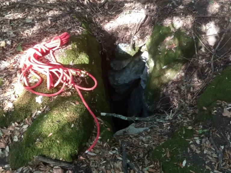
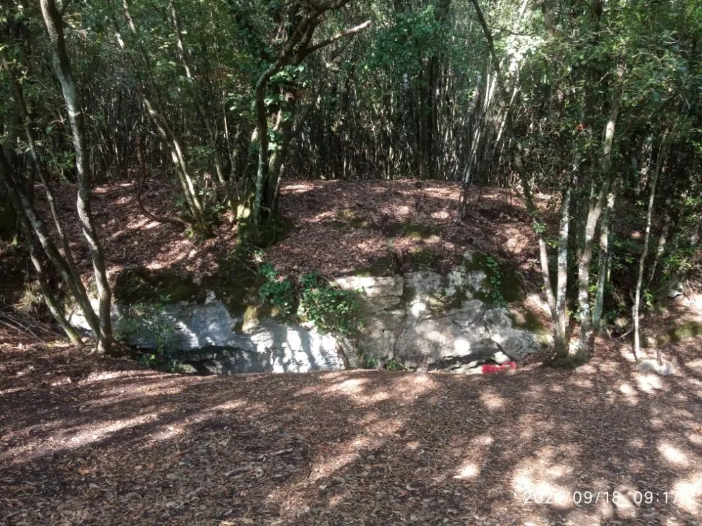
A 10-metre fissure that, with a slide along its entire length, allows access to the cave.
EspeleoWorld
Pozzi della Piana Ingresso Scivolo
A 10-metre fissure that, with a slide along its entire length, allows access to the cave.
Orvieto
Протяжённость системы: 2555 m · Глубина системы: 21 m
Актуальная запись
https://espeleoworld.com/ru/c/pozzi-della-piana-ingresso-scivolo-orvieto-terni
Информация может меняться. Перед выходом всегда проверяйте координаты, доступ, погоду и состояние пещеры.
A 10-metre fissure that, with a slide along its entire length, allows access to the cave.
Фотографии
© Mauro Barbieri · LicenseRef-FUGS-media-per-item · Federazione Umbra Gruppi Speleologici (FUGS), Catasto Speleologico dell'Umbria · https://catasto.fugs.it/index.php?mod=caves&op=view&id=872
Описание
Морфология
A 10-metre fissure that, with a slide along its entire length, allows access to the cave. Trend: predominantly horizontal.
Прохождение
Traversability: demanding; recommended period: all year. Rigging: temporary. Hazards: dangerous access.
Другие сведения
Geology: between carbonate and travertine deposits - Quaternary (Pleistocene - Holocene); Travertines; obliterated; subhorizontal.
История
Finds: archaeological, palethnological. Studies: archaeological, palethnological, anthropological.
Комментарии пользователей (0)
Комментариев пока нет.
Станьте первым, кто поделится своим опытом!
Зарегистрированные исследования (0)
Зарегистрированных исследований пока нет.
Зарегистрируйте свое посещение этой пещеры!
Ближайшие пещеры

Источник: Catasto Cavità Umbria (Federazione Umbra Gruppi Speleologici, FUGS) (catasto.fugs.it), с изменениями. LicenseRef-FUGS-no-licence-stated Federazione Umbra Gruppi Speleologici (FUGS), Catasto Speleologico dell'Umbria · https://catasto.fugs.it/index.php?mod=caves&op=view&id=872 · данные на 2025 г. · Источник: Catasto Cavità Umbria (Federazione Umbra Gruppi Speleologici, FUGS) (catasto.fugs.it), с изменениями. LicenseRef-FUGS-media-per-item Federazione Umbra Gruppi Speleologici (FUGS), Catasto Speleologico dell'Umbria · данные на 2025 г.