
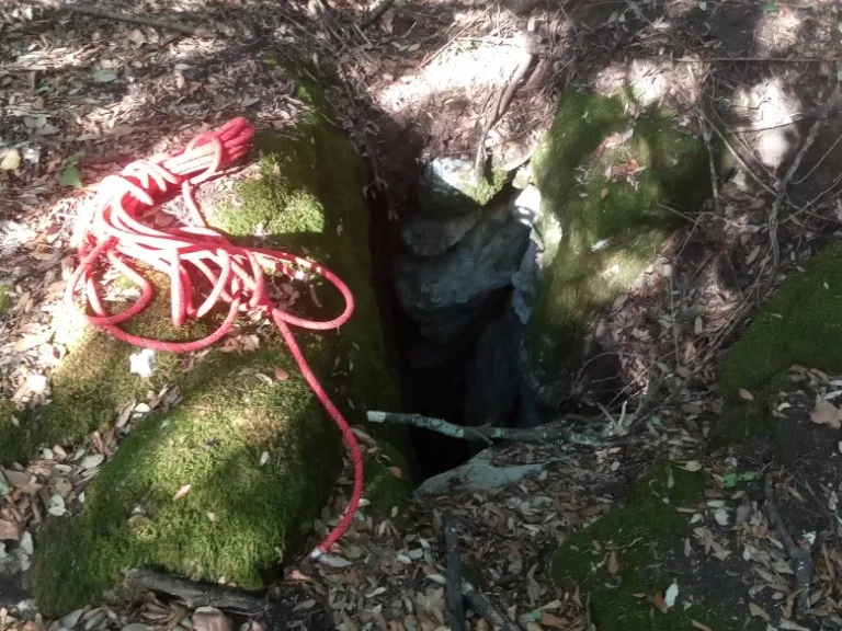
Pozzi della Piana Ingresso Dinamite
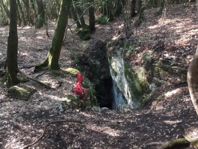
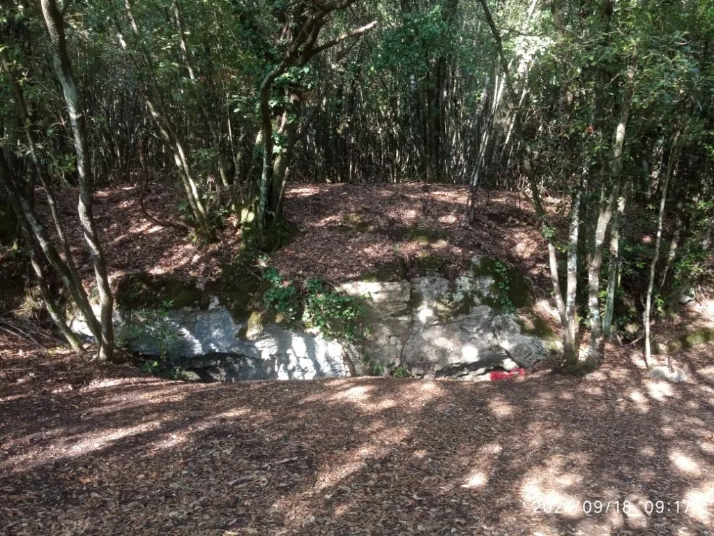
A ground-level hole near the slide entrance, with a predominantly horizontal trend and demanding traversability.
EspeleoWorld
Pozzi della Piana Ingresso Dinamite
A ground-level hole near the slide entrance, with a predominantly horizontal trend and demanding traversability.
Orvieto
Протяжённость системы: 2555 m · Глубина системы: 21 m
Актуальная запись
https://espeleoworld.com/ru/c/pozzi-della-piana-ingresso-dinamite-orvieto-terni
Информация может меняться. Перед выходом всегда проверяйте координаты, доступ, погоду и состояние пещеры.
A ground-level hole near the slide entrance, with a predominantly horizontal trend and demanding traversability.
Фотографии
© Mauro Barbieri · LicenseRef-FUGS-media-per-item · Federazione Umbra Gruppi Speleologici (FUGS), Catasto Speleologico dell'Umbria · https://catasto.fugs.it/index.php?mod=caves&op=view&id=873
Описание
Морфология
Ground-level hole in the vicinity of the slide entrance. On the rocks surrounding the entrance, the grooves produced by the small ladders used in the past for access can be seen.
Trend: Predominantly horizontal.
Прохождение
Traversability: Demanding; recommended period: All year. Rigging: Temporary. Hazards: Dangerous access.
Другие сведения
Geology: TRA Carbonate and travertine deposits - Quaternary (Pleistocene - Holocene); Travertines; Obliterated.
История
Finds: Archaeological, Palaeoethnological. Studies: Archaeological, Palaeoethnological, Anthropological.
Биология
Studies and monitoring: Biospeleological.
Комментарии пользователей (0)
Комментариев пока нет.
Станьте первым, кто поделится своим опытом!
Зарегистрированные исследования (0)
Зарегистрированных исследований пока нет.
Зарегистрируйте свое посещение этой пещеры!
Ближайшие пещеры

Источник: Catasto Cavità Umbria (Federazione Umbra Gruppi Speleologici, FUGS) (catasto.fugs.it), с изменениями. LicenseRef-FUGS-no-licence-stated Federazione Umbra Gruppi Speleologici (FUGS), Catasto Speleologico dell'Umbria · https://catasto.fugs.it/index.php?mod=caves&op=view&id=873 · данные на 2025 г. · Источник: Catasto Cavità Umbria (Federazione Umbra Gruppi Speleologici, FUGS) (catasto.fugs.it), с изменениями. LicenseRef-FUGS-media-per-item Federazione Umbra Gruppi Speleologici (FUGS), Catasto Speleologico dell'Umbria · данные на 2025 г.