
Cova del Cagapaelles
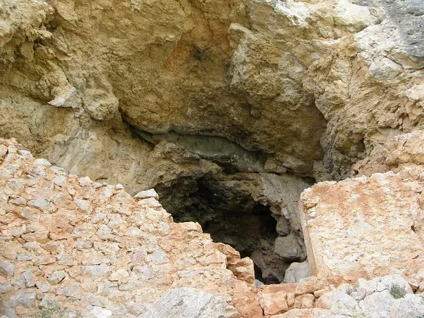
A conglomerate shelter in Gandesa, explored and surveyed by GERP in June 1987.
EspeleoWorld
Cova del Cagapaelles
A conglomerate shelter in Gandesa, explored and surveyed by GERP in June 1987.
Gandesa · Terra Alta
Длина: 7 m
Актуальная запись
https://espeleoworld.com/ru/c/cova-del-cagapaelles
Информация может меняться. Перед выходом всегда проверяйте координаты, доступ, погоду и состояние пещеры.
A conglomerate shelter in Gandesa, explored and surveyed by GERP in June 1987.
Топография
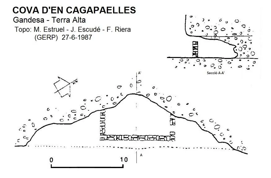
Espeleoindex · CC BY-NC 4.0, https://creativecommons.org/licenses/by-nc/4.0/ · Изображение © автора.
Описание
Морфология
Shelter 27 metres wide by about 3 high and about 7 metres long from the entrance overhang to the deepest point.
Другие сведения
Inside it has a wall to enclose livestock.
История
The only known data are those given by the members of GERP (Sant Just Desvern) who explored and surveyed it in June 1987.
Комментарии пользователей (0)
Комментариев пока нет.
Станьте первым, кто поделится своим опытом!
Зарегистрированные исследования (0)
Зарегистрированных исследований пока нет.
Зарегистрируйте свое посещение этой пещеры!
Библиография
- G.E. Rat-penats (1989).- “Contribució al catàleg espeleològic de la Terra Alta”. Exploracions (13): 39-50. EC de Gràcia. Barcelona.
Ближайшие пещеры

Источник: Espeleoindex (espeleoindex.com), с изменениями. CC BY-NC 4.0, https://creativecommons.org/licenses/by-nc/4.0/