
Surgència de Fontmentiró
A 122-metre-long spring in Manyanet (Sarroca de Bellera), explored by Lluís Filbà (SE-ACE Mataró) on 23 September 2005.
EspeleoWorld
Surgència de Fontmentiró
A 122-metre-long spring in Manyanet (Sarroca de Bellera), explored by Lluís Filbà (SE-ACE Mataró) on 23 September 2005.
Sarroca de Bellera · Pallars Jussà
Sviluppo: 122 m · Profondità: 12 m
Scheda aggiornata
https://espeleoworld.com/it/c/surgencia-de-fontmentiro
Le informazioni possono cambiare. Verifica sempre coordinate, accesso, meteo e condizioni della cavità prima di partire.
A 122-metre-long spring in Manyanet (Sarroca de Bellera), explored by Lluís Filbà (SE-ACE Mataró) on 23 September 2005.
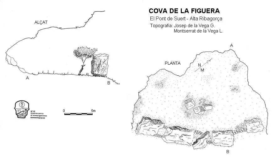
Topografia
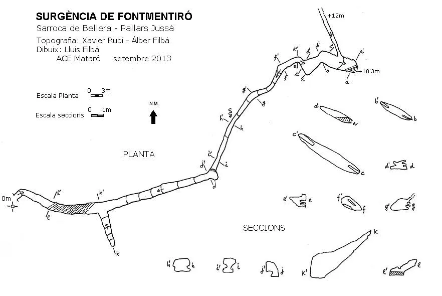
Espeleoindex · CC BY-NC 4.0, https://creativecommons.org/licenses/by-nc/4.0/ · Immagine © del suo autore.
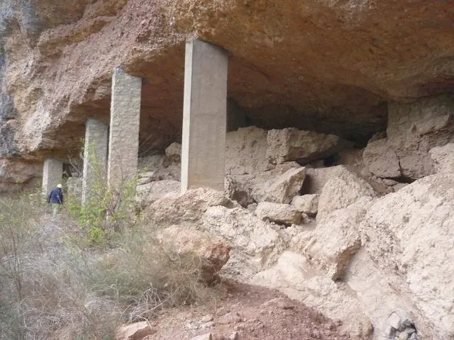
Foto
Espeleoindex · CC BY-NC 4.0, https://creativecommons.org/licenses/by-nc/4.0/ · Immagine © del suo autore.
Descrizione
Morfologia
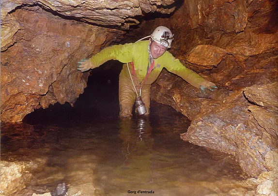
It is a spring that in dry seasons still retains a permanent pool of water 2 metres from the entrance, which is the lowest point of the cavity. This pool is about 10 metres long and 0.50 metres deep. At 20 metres a blind ascending ramp is left; from there one ascends by successive steps, with small pools of water. On the floor and walls we find sharp edges, produced by the erosion of the rock. In the rest of the gallery stretch until reaching the flowstone one moves comfortably upright, but through the circulation conduit, for this reason, it is uncomfortable to drag oneself along.
From the flowstone, where the 2 metres must be climbed, a stretch begins with a section of approximately 0.80X0.80 metres; after about 50 metres the progression is between slabs of strata, and in parts, through clean circulation conduits. The exploration ends at a slab behind which a step was sounded.
Idrologia
It is a spring that in dry seasons still retains a permanent pool of water 2 metres from the entrance, which is the lowest point of the cavity. This pool is about 10 metres long and 0.50 metres deep.
Progressione
At 20 metres a blind ascending ramp is left; from there one ascends by successive steps, with small pools of water. In the rest of the gallery stretch until reaching the flowstone one moves comfortably upright, but through the circulation conduit, for this reason, it is uncomfortable to drag oneself along. From the flowstone, where the 2 metres must be climbed, a stretch begins with a section of approximately 0.80X0.80 metres; after about 50 metres the progression is between slabs of strata, and in parts, through clean circulation conduits. The exploration ends at a slab behind which a step was sounded.
Storia
Explored by Lluís Filbà (SE-ACE Mataró) on 23 September 2005, he returns to the cavity again in October 2008; on both occasions he explores about 50 metres of passage up to a flowstone that seems to bar the way.
In July 2012 he returns together with Àlber Filbà, finding the continuation through a gallery hanging about two metres to the left of the flowstone. The 2012 exploration ended at a slab behind which a step was sounded.
When carrying out the survey in October 2013, the point where the exploration ended in 2012 was covered with water.
Commenti degli utenti (0)
Nessun commento ancora.
Sii il primo a condividere la tua esperienza!
Esplorazioni registrate (0)
Nessuna esplorazione registrata.
Registra la tua visita a questa grotta!
Bibliografia
- Filbà, Lluís.(2016).-”Surgència de Fontmentiró”. Cingles (120):10-12.ACE Mataró.
- Totes les fotografies i topografia han estat extretes de la revista Cingles nº120.
Grotte vicine


Fonte: Espeleoindex (espeleoindex.com), modificato. CC BY-NC 4.0, https://creativecommons.org/licenses/by-nc/4.0/