
Pou de l'Encantament
A 28-metre-deep pit in Altafulla, known since ancient times, explored by the SIE del CE Àliga in the summer of 1973 and surveyed on 20 January 1974.
EspeleoWorld
Pou de l'Encantament
A 28-metre-deep pit in Altafulla, known since ancient times, explored by the SIE del CE Àliga in the summer of 1973 and surveyed on 20 January 1974.
Altafulla · Tarragonès
Sviluppo: 47 m · Profondità: 28 m
Scheda aggiornata
https://espeleoworld.com/it/c/pou-de-l-encantament
Le informazioni possono cambiare. Verifica sempre coordinate, accesso, meteo e condizioni della cavità prima di partire.
A 28-metre-deep pit in Altafulla, known since ancient times, explored by the SIE del CE Àliga in the summer of 1973 and surveyed on 20 January 1974.
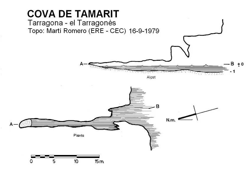
Topografia
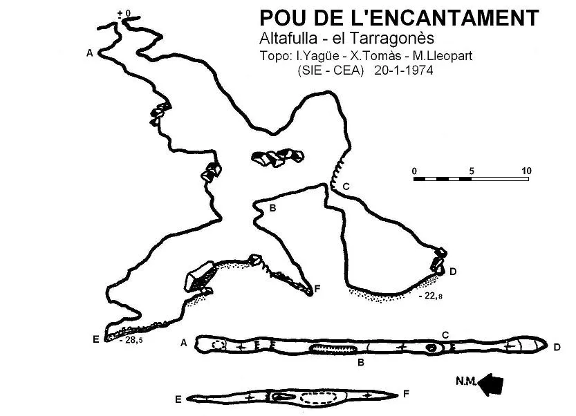
Espeleoindex · CC BY-NC 4.0, https://creativecommons.org/licenses/by-nc/4.0/ · Immagine © del suo autore.
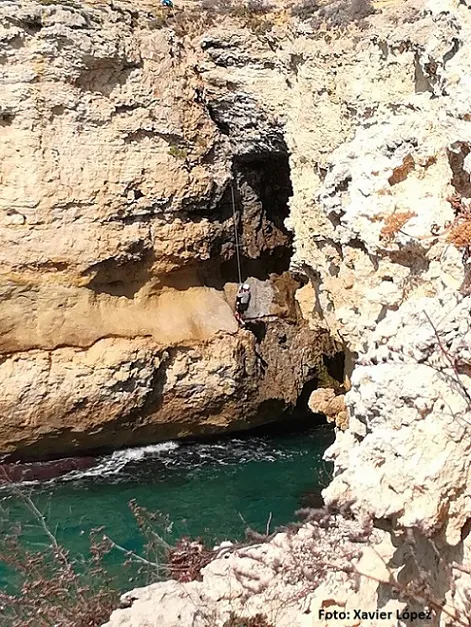
Foto
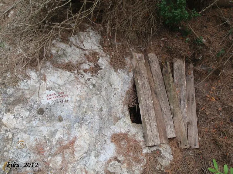
Espeleoindex · CC BY-NC 4.0, https://creativecommons.org/licenses/by-nc/4.0/ · Immagine © del suo autore.
Descrizione
Morfologia
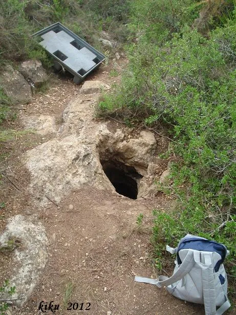
The small circular entrance 0.50 metres in diameter gives way to a first pit of 4 metres, followed by a second of 5 metres, which places us on a floor formed by fitted blocks covered in concretion. From this point we can continue by two routes: on the S side a pit drops 10 metres of vertical drop, placing us at -22.8 metres with no possibilities of continuation; on the N side, a pit of 5 metres places us at the start of a descending ramp that quickly takes us to -28.5 metres, this being the point of maximum depth of the cavity.
Concrezioni
The floor formed by fitted blocks is covered in concretion.
Progressione
The circular entrance 0.50 metres in diameter gives way to a first pit of 4 metres, followed by a second of 5 metres. From this point one can continue by two routes: on the S side a pit drops 10 metres of vertical drop to -22.8 metres, with no possibilities of continuation; on the N side, a pit of 5 metres places one at the start of a descending ramp that leads to -28.5 metres.
Storia
Known since ancient times in Altafulla, where they say that whatever fell into the hole would come out at the cova de l'Isidrot, located on the coast in the direction of Torredembarra. The SIE del CE Àliga explored it a couple of times during the summer of 1973 and surveyed it on 20 January 1974.
Commenti degli utenti (0)
Nessun commento ancora.
Sii il primo a condividere la tua esperienza!
Esplorazioni registrate (0)
Nessuna esplorazione registrata.
Registra la tua visita a questa grotta!
Bibliografia
- Borràs, J.; Miñarro, J.M.; Talavera, F.(1978).-”l'Alt Camp, la Conca de Barberà, el Baix Penedès i el Tarragonès” Catàleg Espeleològic de Catalunya (Vol.2):1-246. Ed. Políglota. Barcelona.
- Martorell i Boada, Xavier.(2005).-Excursions pel Tarragonès. Cossetània edicions. Valls.
- Yagüe Cuevas, Ignacio.(1975).-”Nota sobre dos cavidades del municipio de Altafulla (Tarragona)”. EspeleoSie (17):35-39. SIE-CE Àliga. Barcelona.
Grotte vicine


Fonte: Espeleoindex (espeleoindex.com), modificato. CC BY-NC 4.0, https://creativecommons.org/licenses/by-nc/4.0/