
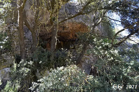
la Cova
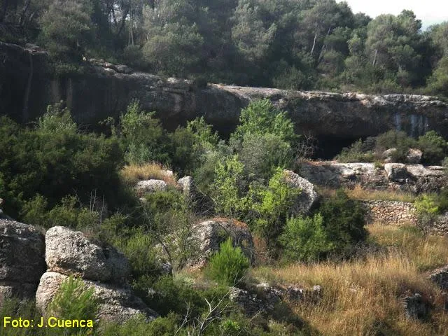
A rock shelter with a passage of 10 metres in Vallclara, 15 metres wide and 9 metres deep.
EspeleoWorld
la Cova
A rock shelter with a passage of 10 metres in Vallclara, 15 metres wide and 9 metres deep.
Vallclara · Conca de Barberà
Sviluppo: 10 m
Scheda aggiornata
https://espeleoworld.com/it/c/la-cova
Le informazioni possono cambiare. Verifica sempre coordinate, accesso, meteo e condizioni della cavità prima di partire.
A rock shelter with a passage of 10 metres in Vallclara, 15 metres wide and 9 metres deep.
Topografia
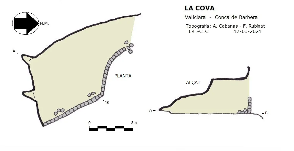

Espeleoindex · CC BY-NC 4.0, https://creativecommons.org/licenses/by-nc/4.0/ · Immagine © del suo autore.
Foto

Espeleoindex · CC BY-NC 4.0, https://creativecommons.org/licenses/by-nc/4.0/ · Immagine © del suo autore.
Descrizione
Morfologia
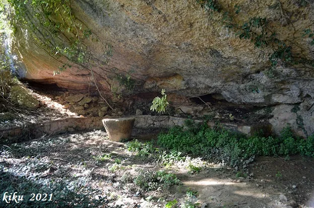
Rock shelter 15 metres wide and 9 metres deep. At the far end there are two small passages just over one metre long. The height of the rock shelter is about 4 metres and decreases to 0.9 metres at the back. The rock shelter is closed off by a dry-stone wall about 2 metres high, except on the NE side where it has the access.
Altri dettagli
Inside there is a Renault R-6 vehicle in fairly good bodywork condition that we assume is used as a shelter, and there is also a wooden table right in the middle of the rock shelter.
Storia
A cavity unpublished speleologically, although known since time immemorial by the local people. The place name La Cova already appears in the editions of the oldest maps. We do not know whether it is known by any other more specific name; given the doubt, we have chosen to cite it with the name under which it appears on the maps.
Commenti degli utenti (0)
Nessun commento ancora.
Sii il primo a condividere la tua esperienza!
Esplorazioni registrate (0)
Nessuna esplorazione registrata.
Registra la tua visita a questa grotta!
Bibliografia
- Totes les dades, coordenades topografia i fotografies han estat facilitades per Arcadia Cabanas i Francesc Rubinat (ERE-CEC).
Grotte vicine
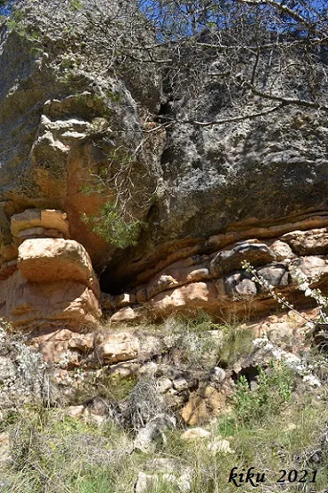
Foradada dels Avellaners
0.0 km · NE
Vallclara (Conca de Barberà)
1 topo.3 foto
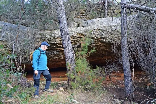
Cova del Xisto
0.7 km · E
Vallclara (Conca de Barberà)
1 topo.2 foto
Cova de les Hortes
0.7 km · SO
Vallclara (Conca de Barberà)
1 topo.3 foto
Cova dels Foresos
1.3 km · NE
Vimbodí i Poblet (Conca de Barberà)
3 topo.13 foto
Fonte: Espeleoindex (espeleoindex.com), modificato. CC BY-NC 4.0, https://creativecommons.org/licenses/by-nc/4.0/