
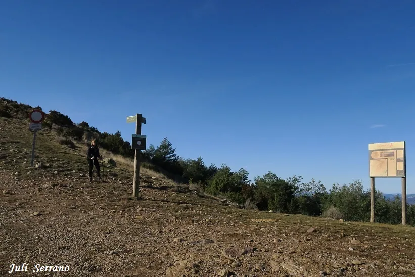
Graller de Gurp
A 32-metre-deep pit in the Serra de Lleràs, in Tremp, first explored by the ERE of the CEC in 1971.
EspeleoWorld
Graller de Gurp
A 32-metre-deep pit in the Serra de Lleràs, in Tremp, first explored by the ERE of the CEC in 1971.
Tremp · Pallars Jussà
Sviluppo: 60 m · Profondità: 32 m
Scheda aggiornata
https://espeleoworld.com/it/c/graller-de-gurp
Le informazioni possono cambiare. Verifica sempre coordinate, accesso, meteo e condizioni della cavità prima di partire.
A 32-metre-deep pit in the Serra de Lleràs, in Tremp, first explored by the ERE of the CEC in 1971.
Topografia
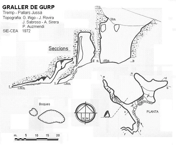
Espeleoindex · CC BY-NC 4.0, https://creativecommons.org/licenses/by-nc/4.0/ · Immagine © del suo autore.
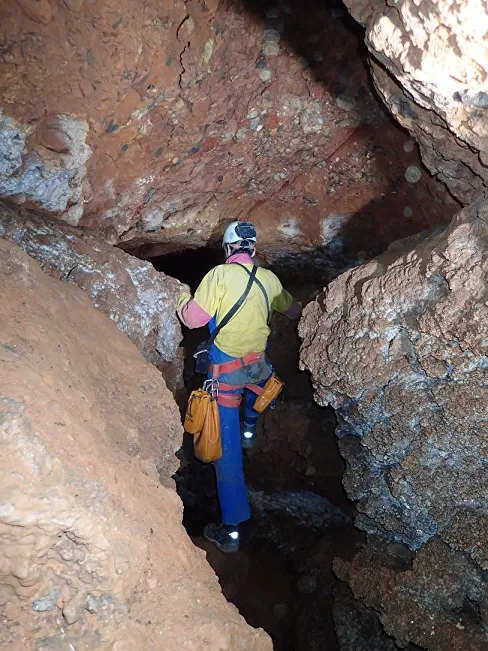
Foto
Espeleoindex · CC BY-NC 4.0, https://creativecommons.org/licenses/by-nc/4.0/ · Immagine © del suo autore.
Descrizione
Morfologia
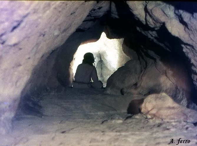
Within a large depression of 20x10 metres and 10 metres of drop, the two entrances of the cavity open, converging into a pit 16 metres deep, which opens onto a level of 17x6 metres and continues as a ramp towards the SSW. At the bottom, through a narrow passage between blocks, one enters a gallery 30 metres long, ascending towards the NW, until it narrows. Towards the S it becomes a clayey bedding plane, where the point of maximum depth is reached.
Storia
The first exploration was carried out by the ERE of the CEC in 1971.
Commenti degli utenti (0)
Nessun commento ancora.
Sii il primo a condividere la tua esperienza!
Esplorazioni registrate (0)
Nessuna esplorazione registrata.
Registra la tua visita a questa grotta!
Bibliografia
- Victoria, J.M.;Iñigo, G;Rovira, J.(1974).-”Karstificación en los conglomerados del margen derecho de la Conca de Tremp.(Lérida). Espeleosie (16):71-120. SIE-CE Àliga. Barcelona.
- Escolà, O. (1973).-”El Graller de Gurp”. Muntanya (667):344-345. CEC. Barcelona.
- Actualització de dades desembre de 2019. Coordenades facilitades per Josep Guarro. Situació i fotografies facilitades per Montse Roca i Juli Serrano (SIE-CEA).
- Fotografies de l'interior de la cavitat extretes del web:espeleodijous.cat Apunt del 05-01-2023.
Grotte vicine

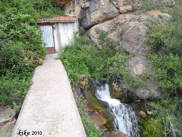


Fonte: Espeleoindex (espeleoindex.com), modificato. CC BY-NC 4.0, https://creativecommons.org/licenses/by-nc/4.0/