

Forat Micó
Small pit 12 metres deep in Sanaüja, first explored by the SIE del CEA in 1971.
EspeleoWorld
Forat Micó
Small pit 12 metres deep in Sanaüja, first explored by the SIE del CEA in 1971.
Sanaüja · Segarra
Sviluppo: 51 m · Profondità: 12 m
Scheda aggiornata
https://espeleoworld.com/it/c/forat-mico-sanauja
Le informazioni possono cambiare. Verifica sempre coordinate, accesso, meteo e condizioni della cavità prima di partire.
Small pit 12 metres deep in Sanaüja, first explored by the SIE del CEA in 1971.
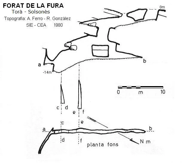
Topografia

Espeleoindex · CC BY-NC 4.0, https://creativecommons.org/licenses/by-nc/4.0/ · Immagine © del suo autore.
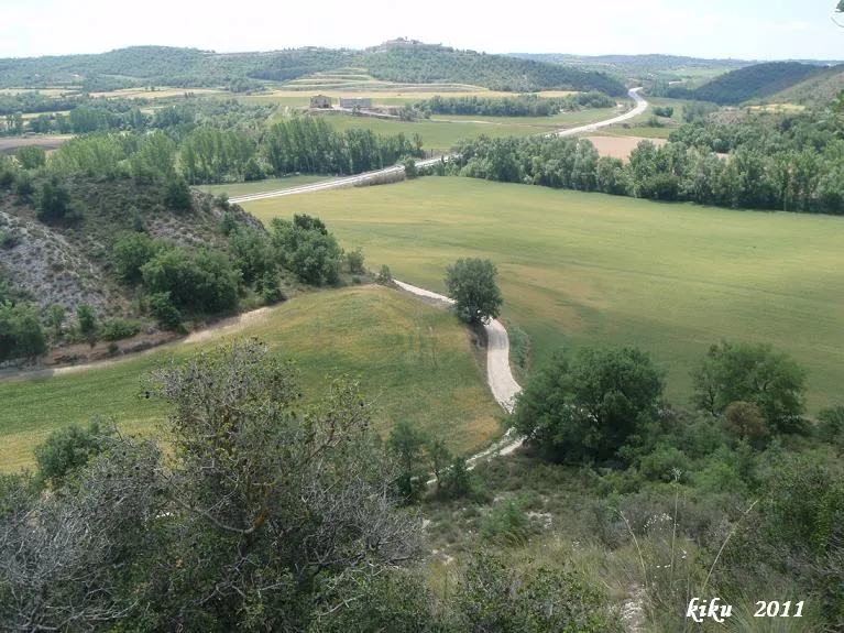
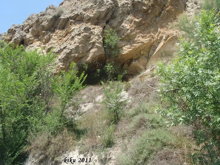
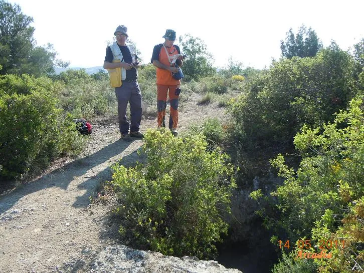
Foto
Espeleoindex · CC BY-NC 4.0, https://creativecommons.org/licenses/by-nc/4.0/ · Immagine © del suo autore.
Descrizione
Morfologia
After an initial vertical drop of -6 metres we reach a gallery 4 metres wide, which continues ascending towards the SE for a distance of 24 metres, while on the opposite side it closes after a few metres, dividing into two almost perpendicular branches. One of these galleries descends towards the S and soon becomes impassable, representing the deepest point of the cave; the other branch enters a small circular chamber from which a new, short impassable gallery emerges.
Storia
The first exploration was carried out by the SIE del CEA in 1971.
Commenti degli utenti (0)
Nessun commento ancora.
Sii il primo a condividere la tua esperienza!
Esplorazioni registrate (1)

Data dell'esplorazione: 7 giugno 2026
Travessa molt bónica de les mines de Sal de Cardona
Bibliografia
Ferro i Guitart, Antonio.(1972).-'Avance al catastro del karst en yesos de la cuenca del río Llobregós'. EspeleSie (11):55-73.SIE-CE Àliga. Barcelona.
Borràs, J.; Miñarro, JM.; Talavera, F.(1980).-'l'Urgell, el Solsonès, la Segarra i el Berguedà'. Catàleg Espeleològic de Catalunya. (Vol.5):211-227.(). Ed. Políglota. Barcelona.
Valles, Jordi de (2008).-'Alt Urgell, Noguera, Pla d'Urgell, Segarra, Solsonès, Urgell'. Catàleg Espeleològic de Catalunya (vol.2):1-384. E C Gràcia/FCE.
Coordenades, situació i fotografies facilitades per Enric Subirats. Juny de 2025.
Grotte vicine


Fonte: Espeleoindex (espeleoindex.com), modificato. CC BY-NC 4.0, https://creativecommons.org/licenses/by-nc/4.0/