
Forat del Coll de Cuberes
A 52-metre-long, 9-metre-deep pit in the municipality of Baix Pallars, known and visited for a very long time.
EspeleoWorld
Forat del Coll de Cuberes
A 52-metre-long, 9-metre-deep pit in the municipality of Baix Pallars, known and visited for a very long time.
Baix Pallars · Pallars Sobirà
Sviluppo: 52 m · Profondità: 9 m
Scheda aggiornata
https://espeleoworld.com/it/c/forat-del-coll-de-cuberes
Le informazioni possono cambiare. Verifica sempre coordinate, accesso, meteo e condizioni della cavità prima di partire.
A 52-metre-long, 9-metre-deep pit in the municipality of Baix Pallars, known and visited for a very long time.
Topografia
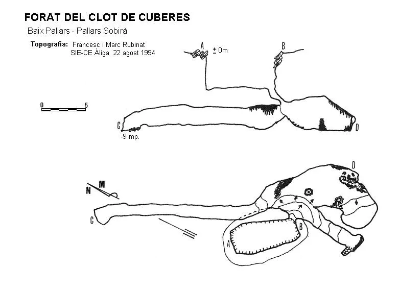
Espeleoindex · CC BY-NC 4.0, https://creativecommons.org/licenses/by-nc/4.0/ · Immagine © del suo autore.
Foto
Espeleoindex · CC BY-NC 4.0, https://creativecommons.org/licenses/by-nc/4.0/ · Immagine © del suo autore.
Descrizione
Morfologia
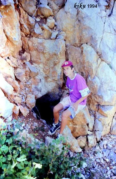
The mouth is 8 x 3 metres and 4 deep. On the SE side of the base we find a crawlway that leads us into a wide chamber where we find two passages: one in a S direction with a steep slope that ends at 7 metres and another to the NW with 21 metres of passage.
Concrezioni
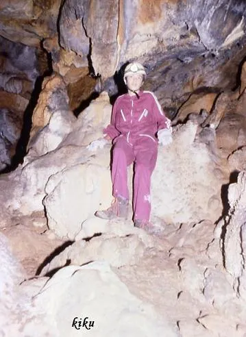
The main chamber has quite a lot of formation, although very damaged by occasional visitors, since no equipment is needed to enter.
Storia
Known and visited by the people of the area for a very long time. The first speleological reference is from the SIE-CEA, which explored and surveyed it in 1976, naming it Cova del Clot. In 1985 the “Spéléo Club Lasallien” of Nimes (France), during a brief campaign in the area, explored it and named it L.85.2 despite the evident signs of it having been visited periodically; they did the same with other cavities of the massif, as already indicated in EspeleoSie 33 (1998).
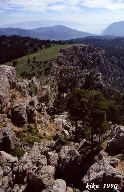
The toponymy of the cavity is somewhat confusing, since we do not believe it correct to give it the name of clot, referring to the Clot de Cuberes, since this is a nearby hollow but not where the pit is located. For this reason we have preferred to use coll de Cuberes, much closer to the cavity, although this is better known as la Collada. It is also possible, given the closest toponymy, that the pit was known as lo Pouet, which is what the area where the pit is located is called.
Commenti degli utenti (0)
Nessun commento ancora.
Sii il primo a condividere la tua esperienza!
Esplorazioni registrate (0)
Nessuna esplorazione registrata.
Registra la tua visita a questa grotta!
Bibliografia
- Gurri, F; Rosell,J; Senent, J; Victoria, JM.(1966).-“El macizo del Boumort” Guía monográfica. Separata de la revista. Montaña (100):1-60. Centre Excursionista de Catalunya. Barcelona.
- Romieux, Patrick.(1986).-“Lerida.85”. Bulletin (13):49-74. Spéleo Club Lasallien. Nimes
- Rubinat, Francesc.(1998).-“Puntualitzacions sobre algunes cavitats conegudes d'antuvi a les terres de ponent”. Espeleosie (33):82-89. SIE-CE Àliga. Barcelona.
Grotte vicine

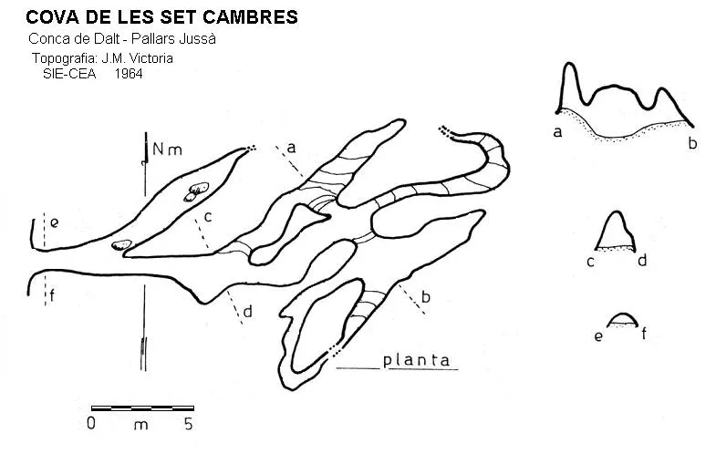


Fonte: Espeleoindex (espeleoindex.com), modificato. CC BY-NC 4.0, https://creativecommons.org/licenses/by-nc/4.0/