
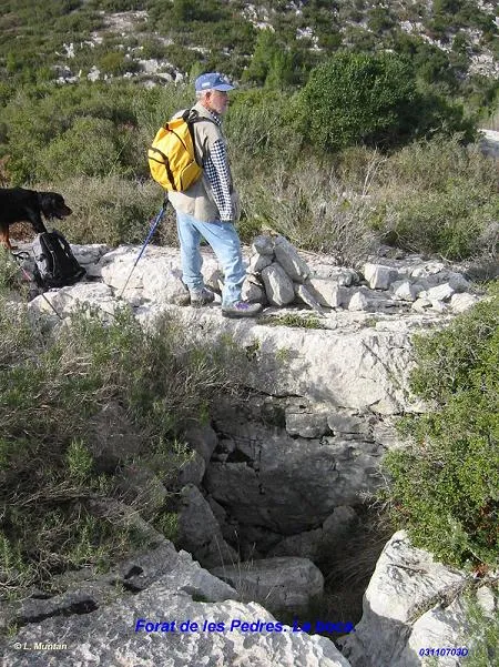
Forat de les Pedres
A 7 m deep fissure in the Garraf (Begues), beneath the ridge of the Serradet dels Joncs.
EspeleoWorld
Forat de les Pedres
A 7 m deep fissure in the Garraf (Begues), beneath the ridge of the Serradet dels Joncs.
Begues · Baix Llobregat
Sviluppo: 10 m · Profondità: 7 m
Scheda aggiornata
https://espeleoworld.com/it/c/forat-de-les-pedres
Le informazioni possono cambiare. Verifica sempre coordinate, accesso, meteo e condizioni della cavità prima di partire.
A 7 m deep fissure in the Garraf (Begues), beneath the ridge of the Serradet dels Joncs.
Topografia
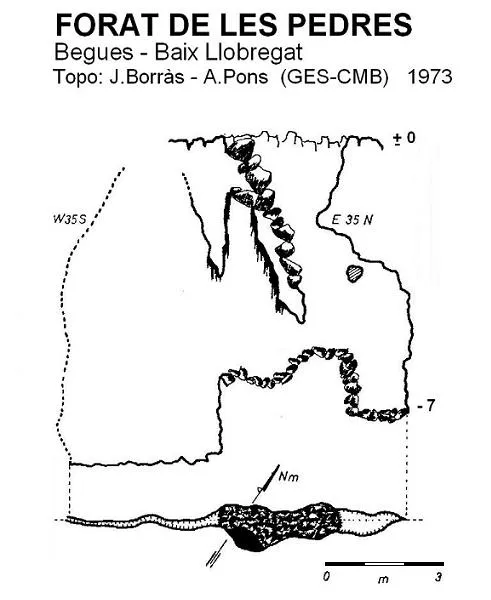

Espeleoindex · CC BY-NC 4.0, https://creativecommons.org/licenses/by-nc/4.0/ · Immagine © del suo autore.
Foto

Espeleoindex · CC BY-NC 4.0, https://creativecommons.org/licenses/by-nc/4.0/ · Immagine © del suo autore.
Descrizione
Morfologia
The entrance, 2 by 3 metres, forms a funnel partly obstructed by blocks that allows a descent of a couple of metres, the point at which one enters a E35N – O35S joint, widened in the central section. The fissure continues towards the SW but is practically impenetrable.
Storia
Discovered and explored by members of the GES – CMB in February 1973.
Commenti degli utenti (0)
Nessun commento ancora.
Sii il primo a condividere la tua esperienza!
Esplorazioni registrate (0)
Nessuna esplorazione registrata.
Registra la tua visita a questa grotta!
Bibliografia
- Borràs, J. (1974).- Catálogo espeleológico del macizo de Garraf. Vol. III . 207 pp. Barcelona.
- Coordenades i foto boca facilitades per Lluís Muntan (GES-CMB)
Grotte vicine
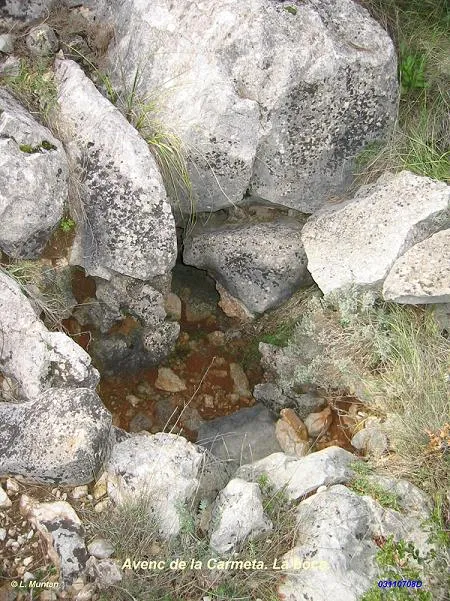
Avenc de la Carmeta
0.1 km · O
Begues (Baix Llobregat)
1 topo.1 foto
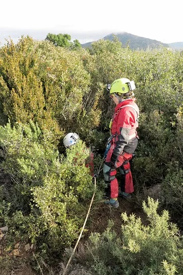
Avenc del Puig Escampador
0.4 km · NO
Olesa de Bonesvalls (Alt Penedès)
2 topo.7 foto
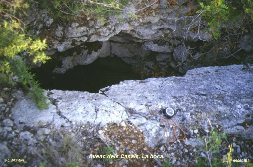
Avenc dels Casals
0.4 km · E
Begues (Baix Llobregat)
1 topo.1 foto
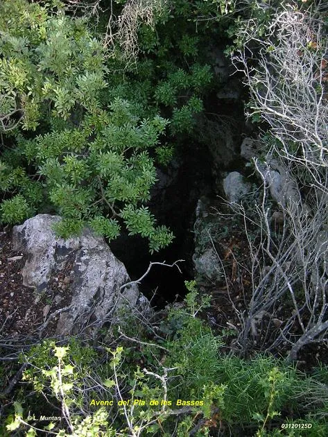
Avenc del Pla de les Basses
0.7 km · N
Olesa de Bonesvalls (Alt Penedès)
1 topo.4 foto
Fonte: Espeleoindex (espeleoindex.com), modificato. CC BY-NC 4.0, https://creativecommons.org/licenses/by-nc/4.0/