
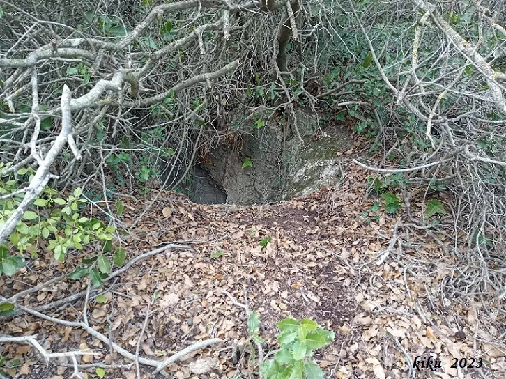
Forat de la Coma d'en Bepo
An 11-metre-deep pit in Torà, first explored in 1980 by M. Marcelino and J.J. Cirés.
EspeleoWorld
Forat de la Coma d'en Bepo
An 11-metre-deep pit in Torà, first explored in 1980 by M. Marcelino and J.J. Cirés.
Torà · Solsonès
Sviluppo: 20 m · Profondità: 11 m
Scheda aggiornata
https://espeleoworld.com/it/c/forat-de-la-coma-d-en-bepo
Le informazioni possono cambiare. Verifica sempre coordinate, accesso, meteo e condizioni della cavità prima di partire.
An 11-metre-deep pit in Torà, first explored in 1980 by M. Marcelino and J.J. Cirés.
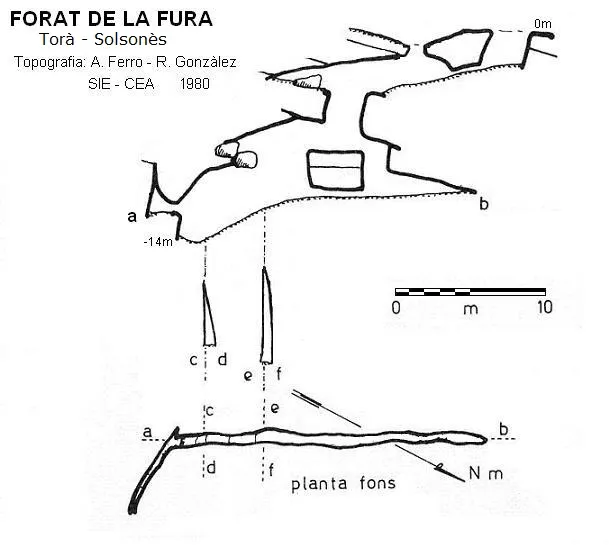
Topografia
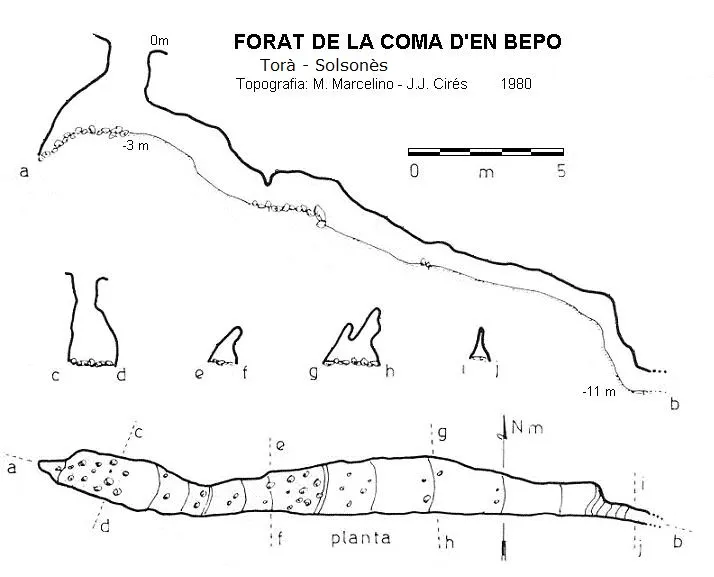
Espeleoindex · CC BY-NC 4.0, https://creativecommons.org/licenses/by-nc/4.0/ · Immagine © del suo autore.
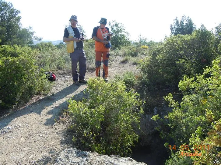
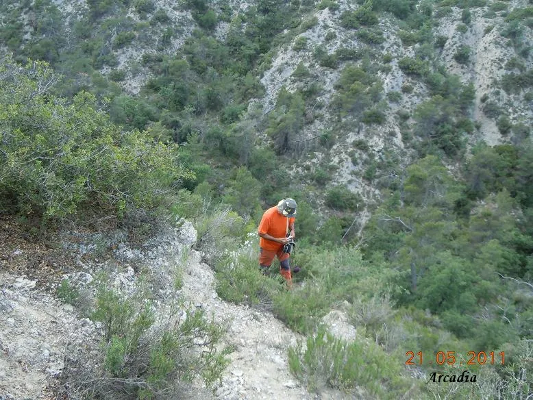
Foto
Espeleoindex · CC BY-NC 4.0, https://creativecommons.org/licenses/by-nc/4.0/ · Immagine © del suo autore.
Descrizione
Morfologia
A vertical shaft of -3 metres reaches the upper part of a descending gallery in an E direction, of reduced dimensions, and after 18 metres it presents an almost vertical passage, at the bottom of which it becomes impenetrable due to its narrowness.
Storia
The first exploration was carried out by M. Marcelino and J.J. Cirés. In 1980.
Commenti degli utenti (0)
Nessun commento ancora.
Sii il primo a condividere la tua esperienza!
Esplorazioni registrate (0)
Nessuna esplorazione registrata.
Registra la tua visita a questa grotta!
Bibliografia
- Borràs,J.;Miñarro,JM.;Talavera,F.(1980).-Catàleg Espeleològic de Catalunya (Vol.5):211-227.(l'Urgell, el Solsonès, la Segarra i el Berguedà). Ed. Políglota. Barcelona.
- Valles, Jordi de (2008).-”Alt Urgell, Noguera, Pla d'Urgell, Segarra, Solsonès, Urgell”. Catàleg Espeleològic de Catalunya (vol.2):1-384. EC.Gràcia/Federació Catalana Espeleologia.
- Coordenades, situació i fotografies facilitades per Juli Serrano (SIE-CEA) i Francesc Rubinat (ERE-CEC). Març de 2023.
Grotte vicine


Fonte: Espeleoindex (espeleoindex.com), modificato. CC BY-NC 4.0, https://creativecommons.org/licenses/by-nc/4.0/