
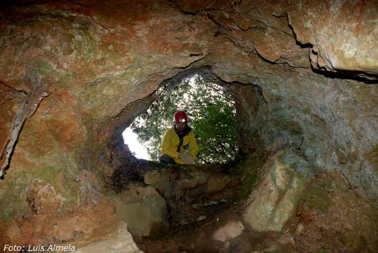
Forat de Ca Deu
Small pit 17 m deep in the Serra de Boratuna, in Llorà (the Gironès).
EspeleoWorld
Forat de Ca Deu
Small pit 17 m deep in the Serra de Boratuna, in Llorà (the Gironès).
Sant Martí de Llémena · Gironès
Sviluppo: 45 m · Profondità: 17 m
Scheda aggiornata
https://espeleoworld.com/it/c/forat-de-ca-deu
Le informazioni possono cambiare. Verifica sempre coordinate, accesso, meteo e condizioni della cavità prima di partire.
Small pit 17 m deep in the Serra de Boratuna, in Llorà (the Gironès).
Topografia
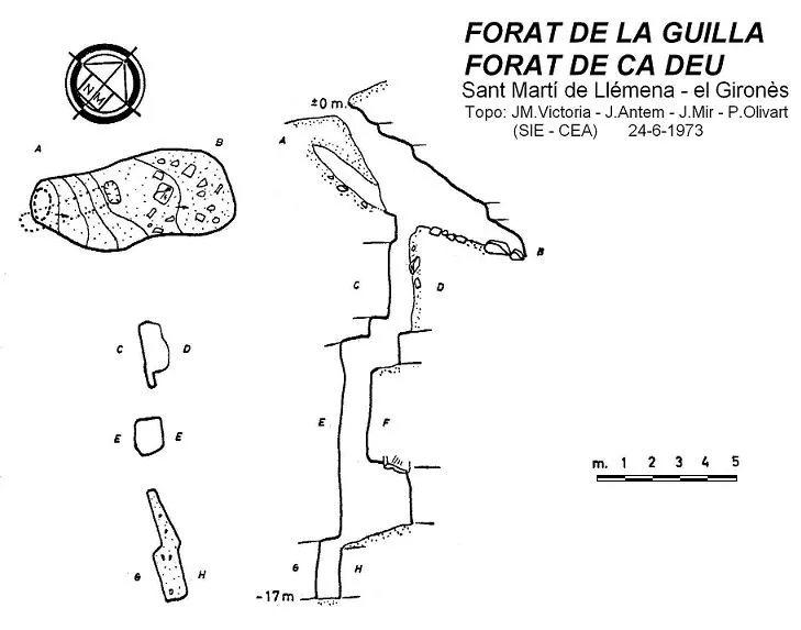
Espeleoindex · CC BY-NC 4.0, https://creativecommons.org/licenses/by-nc/4.0/ · Immagine © del suo autore.
Foto
Espeleoindex · CC BY-NC 4.0, https://creativecommons.org/licenses/by-nc/4.0/ · Immagine © del suo autore.
Descrizione
Morfologia
An upper gallery, very steep, reaches a small chamber 7 by 3 metres in which opens a stepped shaft that reaches the point of maximum depth.
Storia
Cavity that had remained unpublished until the exploration by members of the SIE – CEA who explore, name and survey it during an outing at the Bora Tuna on 24 June 1973. It is published for the first time in the Catàleg Espeleològic de Catalunya (1980) although with erroneous location data.
Rediscovered by members of the Grup d'Espeleologia de Badalona in March 2011 and which, according to what our colleague Enric Porcel tells us, in Llorà is a hole they know by the name of ca Deu (although there is no house of this name), he also tells us that some call it Avenc de Bora Tuna.
Commenti degli utenti (0)
Nessun commento ancora.
Sii il primo a condividere la tua esperienza!
Esplorazioni registrate (0)
Nessuna esplorazione registrata.
Registra la tua visita a questa grotta!
Bibliografia
- Borràs, J.; Miñarro, JM.; Talavera, F. (1980).- Catàleg Espeleològic de Catalunya (vol. 6): el Baix Empordà, el Gironès, la Selva, l'Osona, el Vallès Oriental i el Maresme: 290 pp. Ed. Políglota. Barcelona.
- Fotografies i topografia extretes del blog: Espeleobloc (post del dia 14-12-2011)
- Coordenades facilitades per Enric Porcel (GE Badalona)
Grotte vicine

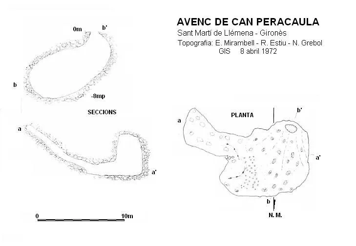


Fonte: Espeleoindex (espeleoindex.com), modificato. CC BY-NC 4.0, https://creativecommons.org/licenses/by-nc/4.0/