
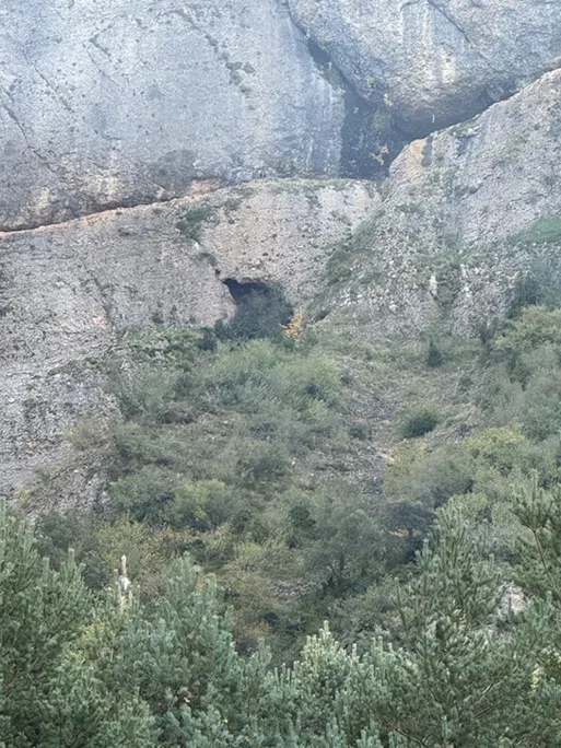
Espluga de les Tremolisses
Cave with an 84-metre passage length in the Serra de Lleràs, (Tremp).
EspeleoWorld
Espluga de les Tremolisses
Cave with an 84-metre passage length in the Serra de Lleràs, (Tremp).
Tremp · Pallars Jussà
Sviluppo: 84 m · Profondità: 5 m
Scheda aggiornata
https://espeleoworld.com/it/c/espluga-de-les-tremolisses
Le informazioni possono cambiare. Verifica sempre coordinate, accesso, meteo e condizioni della cavità prima di partire.
Cave with an 84-metre passage length in the Serra de Lleràs, (Tremp).
Topografia
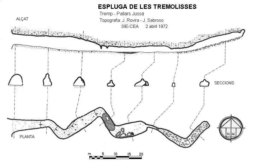
Espeleoindex · CC BY-NC 4.0, https://creativecommons.org/licenses/by-nc/4.0/ · Immagine © del suo autore.
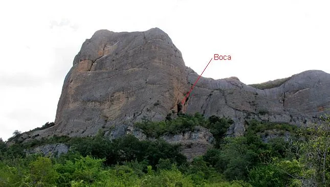
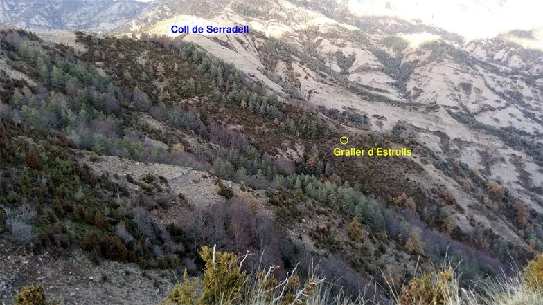
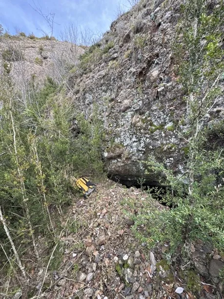
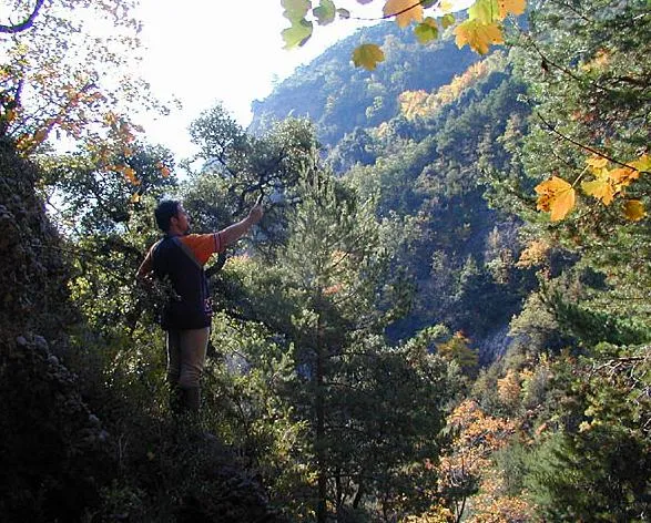
Foto
Espeleoindex · CC BY-NC 4.0, https://creativecommons.org/licenses/by-nc/4.0/ · Immagine © del suo autore.
Descrizione
Morfologia
It is a single zigzagging gallery. At the final part the gallery ascends gently.
Idrologia
In the middle part there is usually a small level of water that occupies the whole gallery.
Storia
Very well known in the area since time immemorial. The first known survey was made by the SIE del CEA on 2 April 1972.
Commenti degli utenti (0)
Nessun commento ancora.
Sii il primo a condividere la tua esperienza!
Esplorazioni registrate (1)

Data dell'esplorazione: 19 ottobre 2025
No es la ubicación que está en los mapas. Está en otro sitio, aquí https://maps.app.goo.gl/Xv1H1oqHmAEkpdZ38?g_st=ipc Para acceder se puede subir el barranco y seguir gotas si todavía están. Con llevar un casco y un frontal ya se puede explorar
Bibliografia
Victoria, J.M.;Iñigo, G;Rovira, J.(1974).-'Karstificación en los conglomerados del margen derecho de la Conca de Tremp.(Lérida)'. Espeleosie (16):71-120. SIE-CE Àliga. Barcelona.
Borràs, J.; Miñarro,J.M.; Talavera, F. (1979).-'el Pallars Jussà'. Catàleg Espeleològic de Catalunya (vol.3):1-211. Ed. Políglota. Barcelona.
Valles, Jordi de (2008).-'Alta Ribagorça, Pallars Jussà, Pallars Sobirà, Val d'Aran'. Catàleg Espeleològic de Catalunya (Vol.1):1-319. EC Gràcia/Federació Catalana d'Espeleologia.
Actualització de dades i fotografies, extretes de Wikiloc. Track de Pacoaga, post del 19-10-2025 i del 4-3-2026.
Grotte vicine


Fonte: Espeleoindex (espeleoindex.com), modificato. CC BY-NC 4.0, https://creativecommons.org/licenses/by-nc/4.0/