
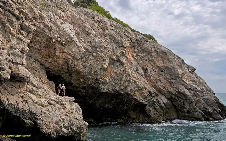
Cova Poruga
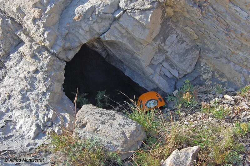
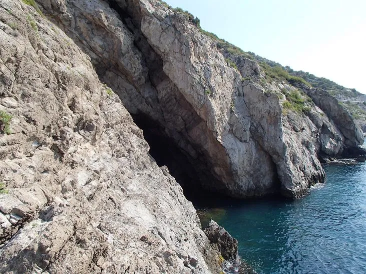
A cave at sea level on the Garraf coast, located in July 2017 and named Cova Poruga.
EspeleoWorld
Cova Poruga
A cave at sea level on the Garraf coast, located in July 2017 and named Cova Poruga.
Sitges · Garraf
Sviluppo: 20 m
Scheda aggiornata
https://espeleoworld.com/it/c/cova-poruga
Le informazioni possono cambiare. Verifica sempre coordinate, accesso, meteo e condizioni della cavità prima di partire.
A cave at sea level on the Garraf coast, located in July 2017 and named Cova Poruga.
Topografia
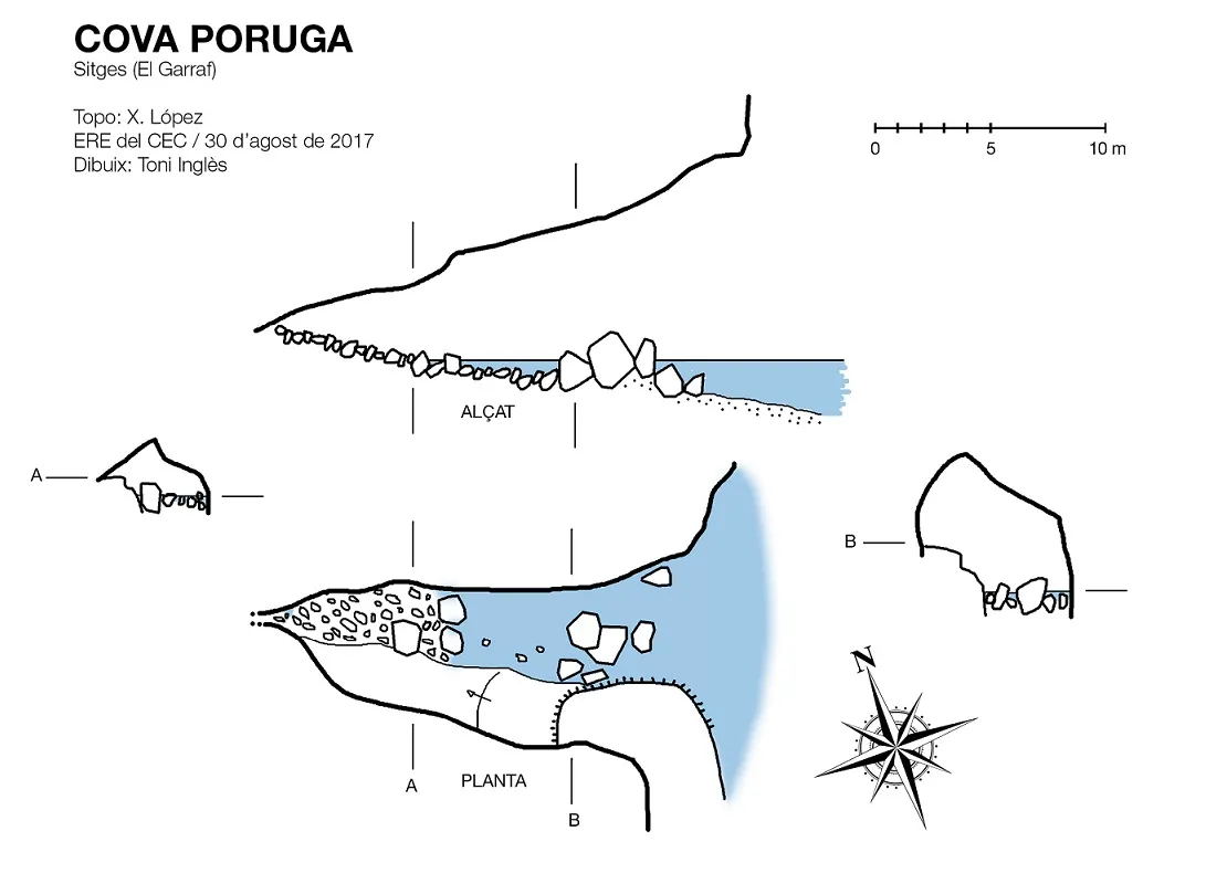
Espeleoindex · CC BY-NC 4.0, https://creativecommons.org/licenses/by-nc/4.0/ · Immagine © del suo autore.
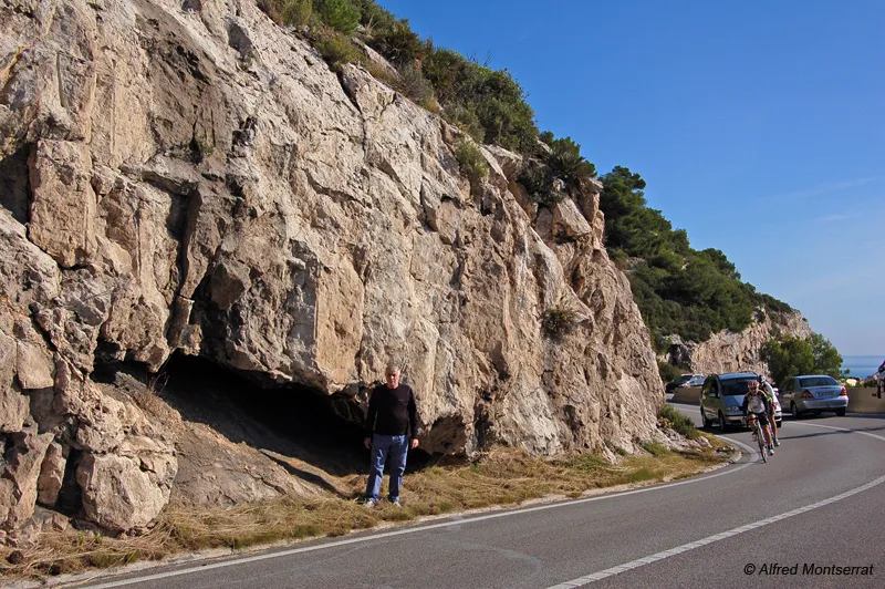
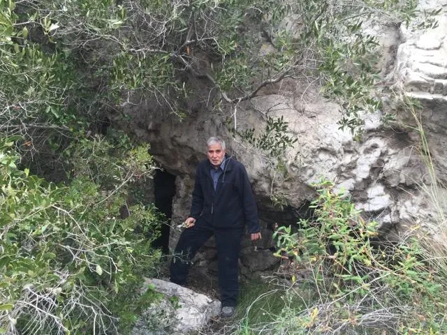
Foto
Espeleoindex · CC BY-NC 4.0, https://creativecommons.org/licenses/by-nc/4.0/ · Immagine © del suo autore.
Descrizione
Morfologia
Wide mouth. On the S side a descending platform leads to the end of the cavity. On the N side there is a kind of channel partially occupied by seawater and it ends blocked by large and medium rounded blocks.
Storia
Located by members of the ERE – CEC in July 2017. The situation coincides with what Lluís Astier calls spring no. 4 of Punta Ferrosa, although he does not indicate the existence of any cavity.
Despite having consulted different documents on the toponymy of the Garraf coast, no reference to this cave could be found, and it was named Cova Poruga while waiting to one day find out whether it has a specific name.
Commenti degli utenti (0)
Nessun commento ancora.
Sii il primo a condividere la tua esperienza!
Esplorazioni registrate (0)
Nessuna esplorazione registrata.
Registra la tua visita a questa grotta!
Bibliografia
- Astier, Lluís (1971).- “Surgencias submarinas en el karst litoral”. Geo y Bio Karst (29): 755-758. Ed. JMª Armengou. Barcelona.
- Totes les dades, topografia i fotografies han estat facilitades per membres de l'ERE – CEC que la van catalogar durant l'estiu de 2017.
Grotte vicine


Fonte: Espeleoindex (espeleoindex.com), modificato. CC BY-NC 4.0, https://creativecommons.org/licenses/by-nc/4.0/