
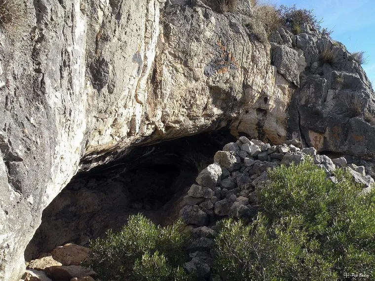
Cova Grossa
Large walled rock shelter in the Montsià (Alcanar), with remains of a dry-stone wall and contemporary “rock paintings”; cited by E. Bayerri in 1934.
EspeleoWorld
Cova Grossa
Large walled rock shelter in the Montsià (Alcanar), with remains of a dry-stone wall and contemporary “rock paintings”; cited by E. Bayerri in 1934.
Alcanar · Montsià
Sviluppo: 5 m
Scheda aggiornata
https://espeleoworld.com/it/c/cova-grossa
Le informazioni possono cambiare. Verifica sempre coordinate, accesso, meteo e condizioni della cavità prima di partire.
Large walled rock shelter in the Montsià (Alcanar), with remains of a dry-stone wall and contemporary “rock paintings”; cited by E. Bayerri in 1934.
Foto
Espeleoindex · CC BY-NC 4.0, https://creativecommons.org/licenses/by-nc/4.0/ · Immagine © del suo autore.
Descrizione
Morfologia
It is a large rock shelter, with the remains of a dry-stone wall in front that was possibly used in other times to shelter some livestock.
No topography is available and the exact dimensions are not known.
Concrezioni
The amusing touch are the “rock paintings”, quite contemporary, that can be observed there.
Storia
Known since time immemorial. It is already cited by E. Bayerri in his work: Historia de Tortosa y su comarca Vol. 2 (1934).
Commenti degli utenti (0)
Nessun commento ancora.
Sii il primo a condividere la tua esperienza!
Esplorazioni registrate (0)
Nessuna esplorazione registrata.
Registra la tua visita a questa grotta!
Bibliografia
- Totes les dades i fotografies han estat extretes del blog: senderes.blogspot (de Pep Badia, la Ràpita)
Grotte vicine
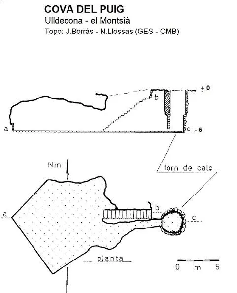

Fonte: Espeleoindex (espeleoindex.com), modificato. CC BY-NC 4.0, https://creativecommons.org/licenses/by-nc/4.0/