
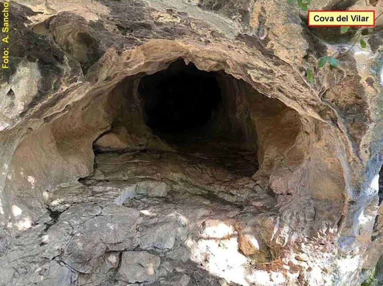
Cova del Vilar
Small ascending cave in the Alta Garrotxa (Montagut i Oix), perched above the Hortmoier valley, near the Vilar de Talaixà. Route of 18 m and a positive drop of 8 m.
EspeleoWorld
Cova del Vilar
Small ascending cave in the Alta Garrotxa (Montagut i Oix), perched above the Hortmoier valley, near the Vilar de Talaixà. Route of 18 m and a positive drop of 8 m.
Montagut i Oix · Garrotxa
Sviluppo: 18 m · Profondità: 8 m
Scheda aggiornata
https://espeleoworld.com/it/c/cova-del-vilar
Le informazioni possono cambiare. Verifica sempre coordinate, accesso, meteo e condizioni della cavità prima di partire.
Small ascending cave in the Alta Garrotxa (Montagut i Oix), perched above the Hortmoier valley, near the Vilar de Talaixà. Route of 18 m and a positive drop of 8 m.
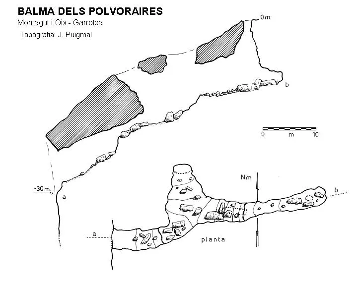
Topografia
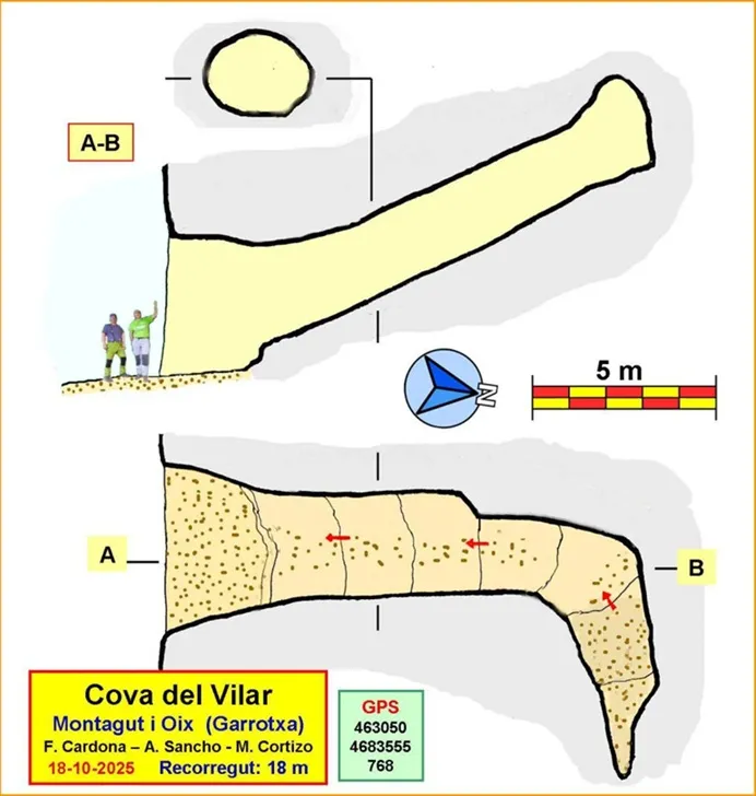
Espeleoindex · CC BY-NC 4.0, https://creativecommons.org/licenses/by-nc/4.0/ · Immagine © del suo autore.
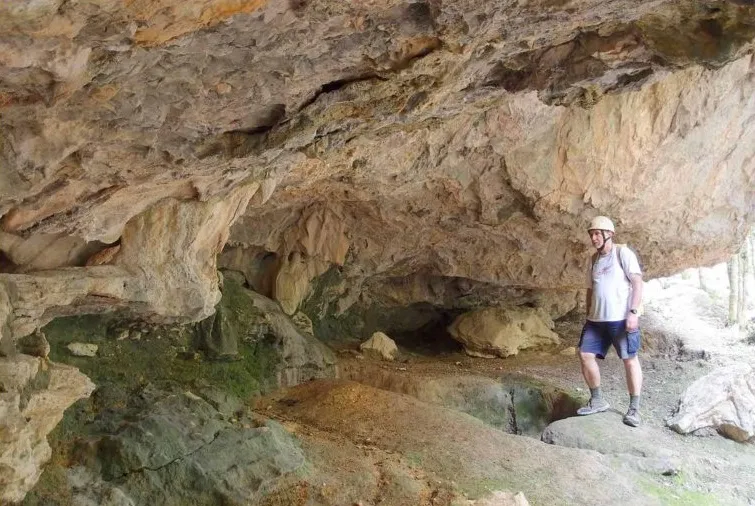
Foto
Espeleoindex · CC BY-NC 4.0, https://creativecommons.org/licenses/by-nc/4.0/ · Immagine © del suo autore.
Descrizione
Morfologia
South-facing entrance that leads into a straight ascending gallery with a constant inclination of around 25 degrees. At the end the gallery turns to the right and finishes after a few metres. The gallery has a rounded section, often elliptical, with an average width close to 3 m and a height of 2 metres or slightly more.
It is a characteristic pressure conduit, with eroded walls and little sediment on the floor, except for the final metres where a clayey sediment seems to fill the natural continuation of the cave. Total route of 18 m with a positive drop of 8 m.
Concrezioni
A few small, very localised concretions.
Storia
Cavity known to some hikers and local people. On the Editorial Alpina map 'Alta Garrotxa' the cave symbol appears in the correct place, but without any name labelled (2018-2019 edition). It does not appear in any catalogue, publication or account of a speleological nature. Speleologically unpublished.
Commenti degli utenti (0)
Nessun commento ancora.
Sii il primo a condividere la tua esperienza!
Esplorazioni registrate (0)
Nessuna esplorazione registrata.
Registra la tua visita a questa grotta!
Bibliografia
Totes les dades, topografia i fotografies han estat extretes del web: geb.cat (del Grup d'Espeleologia de Badalona). Apunt del 24-11-2025. Dades: Albert Sancho, Manel Cortizo i Ferran Cardona (ECM Barcelonès)
Grotte vicine
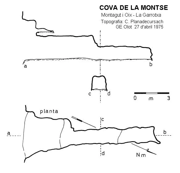
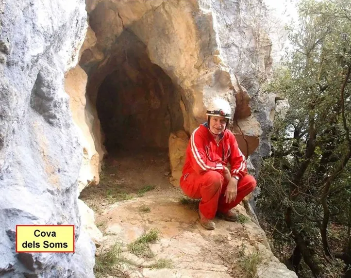


Fonte: Espeleoindex (espeleoindex.com), modificato. CC BY-NC 4.0, https://creativecommons.org/licenses/by-nc/4.0/