
Cova del Penitent
Hermitage rock shelter of Montserrat, 18 m wide and about 3.5 m deep, formerly inhabited and mentioned in guides since the beginning of the 20th century.
EspeleoWorld
Cova del Penitent
Hermitage rock shelter of Montserrat, 18 m wide and about 3.5 m deep, formerly inhabited and mentioned in guides since the beginning of the 20th century.
Collbató · Baix Llobregat
Sviluppo: 4 m
Scheda aggiornata
https://espeleoworld.com/it/c/cova-del-penitent-collbato
Le informazioni possono cambiare. Verifica sempre coordinate, accesso, meteo e condizioni della cavità prima di partire.
Hermitage rock shelter of Montserrat, 18 m wide and about 3.5 m deep, formerly inhabited and mentioned in guides since the beginning of the 20th century.
Topografia
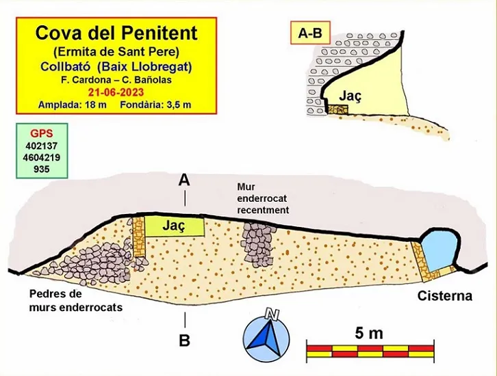
Espeleoindex · CC BY-NC 4.0, https://creativecommons.org/licenses/by-nc/4.0/ · Immagine © del suo autore.
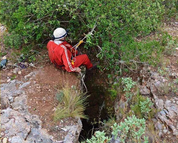
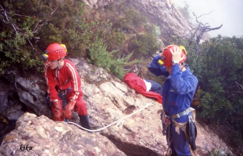
Foto
Espeleoindex · CC BY-NC 4.0, https://creativecommons.org/licenses/by-nc/4.0/ · Immagine © del suo autore.
Descrizione
Morfologia
Modest rock shelter 18 m wide by a scant 3.5 m maximum depth; the height is around 2 m. The most habitable part is in the central sector. Oriented almost due south, quite sunny and with good views toward Collbató.
Idrologia
The cistern was also rebuilt, an indispensable element for supplying water in one of the driest spots on the mountain.
Progressione
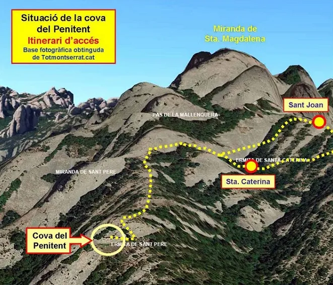
From Santa Caterina we will follow a few metres southward and very soon we will see an ascending narrow path (a rope helps us overcome a step without any difficulty). Almost above the rock shelter, the narrow path of the first option reaches us from the right. From now on, the itinerary is common. The path continues little worn and faint over stony terrain; we must be attentive at some point. We will reach a small ridge, which we will follow until we find the cavity below a rise.
Storia
Mentioned in most of the maps and hiking guides of the mountain of Montserrat since the beginning of the 20th century.
Montserrat tradition says that the rock shelter was inhabited at the end of the 19th century by a French man who withdrew to this spot to do penance there and, perhaps, this fact gave its name to the cavity and to the ridge where it is located. Years later, in an attempt to revive eremitism around the 60s and 70s of the 20th century, some people, especially young monks, inhabited the cavity. The hermitess Maria Creu also did so. It was in these years that the stone walls and the stone and cement bed that we now find were built.
Commenti degli utenti (0)
Nessun commento ancora.
Sii il primo a condividere la tua esperienza!
Esplorazioni registrate (0)
Nessuna esplorazione registrata.
Registra la tua visita a questa grotta!
Bibliografia
Valles, Jordi de (2017).-”Baix Llobregat”. Catàleg Espeleològic de Catalunya (vol.6):1-468. Espeleo Club Gràcia/Federació Catalana Espeleologia.
Dades, topografia i fotografies han estat extretes del web: geb.cat (del Grup d'Espeleologia de Badalona). Apunt del 3-7-2023. Dades: Ferran Cardona i Carme Bañolas (ECM Barcelonès)
Grotte vicine


Fonte: Espeleoindex (espeleoindex.com), modificato. CC BY-NC 4.0, https://creativecommons.org/licenses/by-nc/4.0/