
Cova del Moltó
Legendary cave in Gombrèn, in the Ripollès, on the eastern slope of the Puig de Sant Pere, near the Santuari de Montgrony and the Forat de Sant Ou.
EspeleoWorld
Cova del Moltó
Legendary cave in Gombrèn, in the Ripollès, on the eastern slope of the Puig de Sant Pere, near the Santuari de Montgrony and the Forat de Sant Ou.
Gombrèn · Ripollès
Sviluppo: 58 m · Profondità: 23 m
Scheda aggiornata
https://espeleoworld.com/it/c/cova-del-molto-gombren
Le informazioni possono cambiare. Verifica sempre coordinate, accesso, meteo e condizioni della cavità prima di partire.
Legendary cave in Gombrèn, in the Ripollès, on the eastern slope of the Puig de Sant Pere, near the Santuari de Montgrony and the Forat de Sant Ou.
Topografia
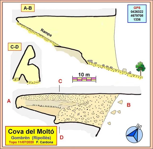
Espeleoindex · CC BY-NC 4.0, https://creativecommons.org/licenses/by-nc/4.0/ · Immagine © del suo autore.
Foto
Espeleoindex · CC BY-NC 4.0, https://creativecommons.org/licenses/by-nc/4.0/ · Immagine © del suo autore.
Descrizione
Morfologia
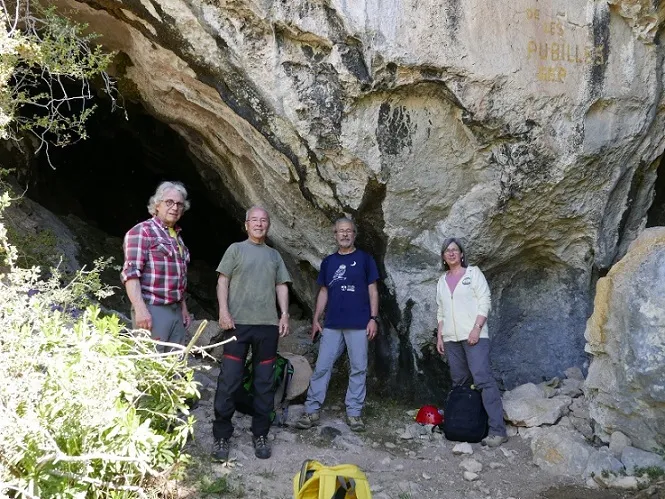
The mouth is enormous, 23 m high by 16 m wide. We can divide the cave into two parts. The first, in the manner of a vestibule, has a relatively gentle sloping floor, occupied by clay, some stones and also by vegetation in some places. The second part is an ascending clayey ramp with an inclination of the order of 30 degrees, very regular, which rises until it reaches the level of the ceiling. On the left side of the ramp, the rocky wall forms a kind of very steep ledge that drops vertically over the floor of the cavity.
The entire right wall of the cave is very straight and uniform and continues with the same characteristics on the outside, forming a cliff.
Storia
The cova del Moltó, scholars of the legend of Count Arnau (14th century), refer to it as one of the places where the count fled, from the Santuari del Montgrony and the Forat de Sant Ou, pursued by the Saracens.
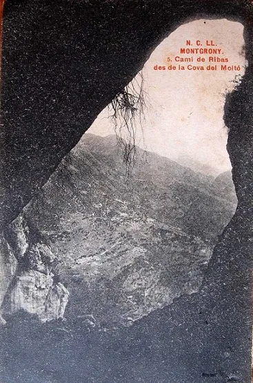
Ferran Cardona explains that they knew of the existence of the cave because it appears in an old postcard from the N.C.LL. collection, number 5. Although the year of the postcard is not known, the photos of this collection were taken around the years 1915-1920. The postcard shows the profile of the cave mouth seen from its interior, so that the outside landscape is visible. As there is no person or object that can give the scale, it is not easy to evaluate its dimensions. On the postcard one can read “Montgrony. Camí de Ribas des de la cova del Moltó”. Despite the existence of the postcard, nobody – until now – had gone to look for the cavity.
That being so, Ferran Cardona set about analysing the postcard to try to find out the location of the cave. The landscape seen in the postcard can give the clues. Although the quality of the photo is really bad, he was able to identify some geographical points and, from there, and by means of triangulations on the map, he was able to locate on it the point where it was supposed to be. He checked that at this point there was no catalogued cavity, which ruled out the possibility that the cave was known under another name. Whatever the case, the cave did not appear in any speleological catalogue.
With the coordinates of the point recorded in the GPS, Ferran Cardona headed towards it and, on arriving…, the cave was right there!!. And its mouth, enormous!!
Commenti degli utenti (0)
Nessun commento ancora.
Sii il primo a condividere la tua esperienza!
Esplorazioni registrate (0)
Nessuna esplorazione registrata.
Registra la tua visita a questa grotta!
Bibliografia
- Totes les dades, topografia i fotografies han estat extretes del web: geb.cat (del Grup d'Espeleologia de Badalona). Apunt del 20-7-2020. Dades: Ferran Cardona (ECM Barcelonès).
Grotte vicine
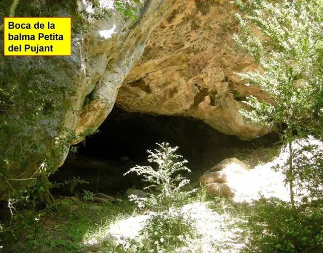
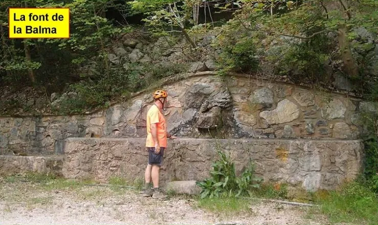


Fonte: Espeleoindex (espeleoindex.com), modificato. CC BY-NC 4.0, https://creativecommons.org/licenses/by-nc/4.0/