
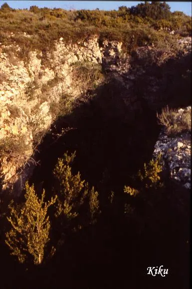
Cova del Cambrot
Cave with 80 metres of passage in the municipality of Sant Esteve de la Sarga, with an entrance of 8 x 15 metres and a vertical extent of 19.40 m (+7.70; -11.70).
EspeleoWorld
Cova del Cambrot
Cave with 80 metres of passage in the municipality of Sant Esteve de la Sarga, with an entrance of 8 x 15 metres and a vertical extent of 19.40 m (+7.70; -11.70).
Sant Esteve de la Sarga · Pallars Jussà
Sviluppo: 80 m · Profondità: 19 m
Scheda aggiornata
https://espeleoworld.com/it/c/cova-del-cambrot
Le informazioni possono cambiare. Verifica sempre coordinate, accesso, meteo e condizioni della cavità prima di partire.
Cave with 80 metres of passage in the municipality of Sant Esteve de la Sarga, with an entrance of 8 x 15 metres and a vertical extent of 19.40 m (+7.70; -11.70).
Topografia
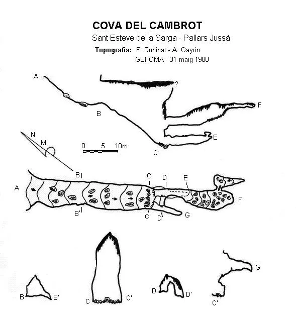

Espeleoindex · CC BY-NC 4.0, https://creativecommons.org/licenses/by-nc/4.0/ · Immagine © del suo autore.
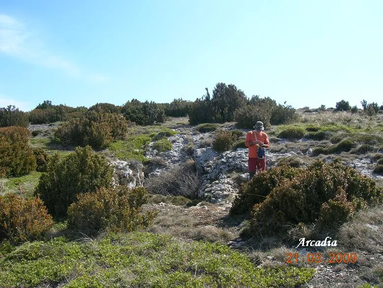
Foto

Espeleoindex · CC BY-NC 4.0, https://creativecommons.org/licenses/by-nc/4.0/ · Immagine © del suo autore.
Descrizione
Morfologia
The entrance, 8 x 15 metres and open due to the collapse of a bedding plane, has characteristics similar to those of the lower entrance of the Graller del Boixeguer. Once past the porch of the cave, we find a steep descent until reaching -18 metres, at which point we find the most spectacular part of the cave as regards dimensions, 8 x 20 metres. From this point the cavity changes completely in appearance, dividing into several conduits at different levels.
Altri dettagli
On the unpublished survey (j. Castell, 1976) that we now include (April 2016) the vertical extent continues to be practically the same, although the elevations differ somewhat. Vertical extent: 19.40 m. (+7.70; -11.70).
Storia
The first news we have of a speleological exploration is that carried out by members of the speleology section of the Centre Gimnàstic Barcelonès (years later SAS – CGB) during their campaigns in the Montsec at the end of the 1950's. Later it was visited by the ERE of the CEC on 27 March 1970.
The only survey known until now was the one published by GEFOMA in 1980. We now update the record (April 2016), including an unpublished survey by Josep Castell made on 3 July 1976 and which we have located in the archive of the ERE – CEC.
Commenti degli utenti (0)
Nessun commento ancora.
Sii il primo a condividere la tua esperienza!
Esplorazioni registrate (0)
Nessuna esplorazione registrata.
Registra la tua visita a questa grotta!
Bibliografia
- Escolà, O. (1970).- “Catálogo espeleológico del Montsec” Espeleòleg (11-12): 453-538. ERE – Centre Excursionista de Catalunya. Barcelona.
- Rubinat, F. (1980).- “Nuevos datos sobre la Sierra del Montsec” GOURS (7) 30-42. GEFOMA. Barcelona.
- SAS – CGB (1968).- Campañas espeleológicas de la Sierra del Montsec (1958-1967): 64 pp. SAS del Centre Gimnàstic Barcelonès. (edició especial del Cavernas nº 9 - GE Badalona)
Grotte vicine
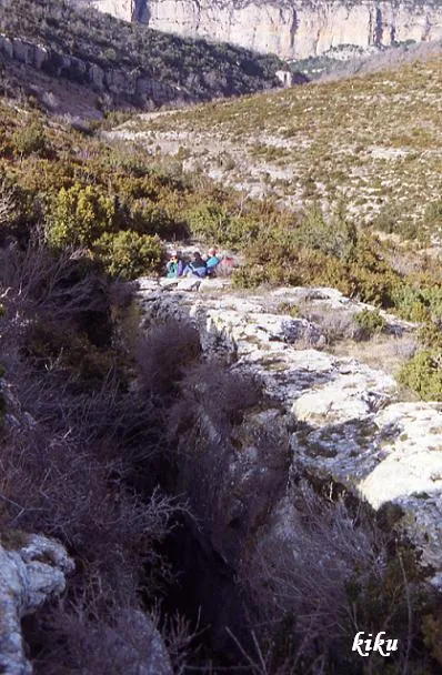
Grallera d'Alsamora
0.3 km · SO
Sant Esteve de la Sarga (Pallars Jussà)
1 topo.1 foto
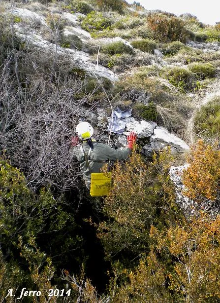
Grallera Petita d'Alsamora
0.3 km · O
Sant Esteve de la Sarga (Pallars Jussà)
1 topo.6 foto
Grallera de Corona
0.4 km · SO
Sant Esteve de la Sarga (Pallars Jussà)
4 topo.7 foto

Forat de les Feixanes
0.7 km · SO
Àger (Noguera)
1 topo.
Fonte: Espeleoindex (espeleoindex.com), modificato. CC BY-NC 4.0, https://creativecommons.org/licenses/by-nc/4.0/