
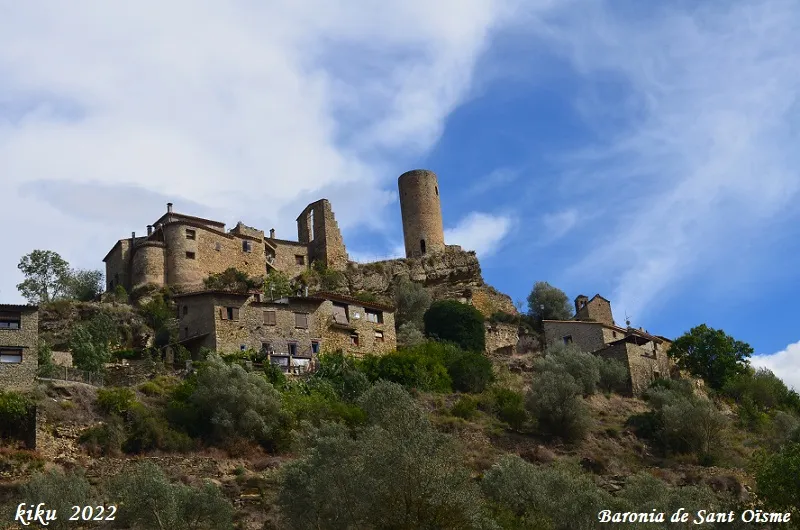
Cova de Sant Oïsme
A 20-metre-long cave at La Baronia de Sant Oïsme (Camarasa), excavated between limestone blocks, with a floor of fluvial sand and a drop of -5 metres. Normally covered by the waters of the Camarasa reservoir.
EspeleoWorld
Cova de Sant Oïsme
A 20-metre-long cave at La Baronia de Sant Oïsme (Camarasa), excavated between limestone blocks, with a floor of fluvial sand and a drop of -5 metres. Normally covered by the waters of the Camarasa reservoir.
Camarasa · Noguera
Sviluppo: 20 m · Profondità: 5 m
Scheda aggiornata
https://espeleoworld.com/it/c/cova-de-sant-oisme
Le informazioni possono cambiare. Verifica sempre coordinate, accesso, meteo e condizioni della cavità prima di partire.
A 20-metre-long cave at La Baronia de Sant Oïsme (Camarasa), excavated between limestone blocks, with a floor of fluvial sand and a drop of -5 metres. Normally covered by the waters of the Camarasa reservoir.
Topografia
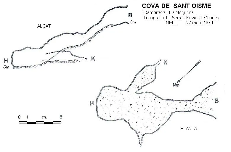
Espeleoindex · CC BY-NC 4.0, https://creativecommons.org/licenses/by-nc/4.0/ · Immagine © del suo autore.
Foto
Espeleoindex · CC BY-NC 4.0, https://creativecommons.org/licenses/by-nc/4.0/ · Immagine © del suo autore.
Descrizione
Morfologia
Small cavity 20 metres long excavated between limestone blocks along a bedding plane. The floor is covered by fluvial sand. It has a sloping drop of -5 metres.
Idrologia
The cavity is normally covered by the water of the reservoir and is only fully accessible in times of drought, when the Camarasa reservoir is at 35% of its capacity.
Currently (December 2023) the reservoir is at 35% of its capacity and the reservoir level is 312.5 metres above sea level. The cavity is completely filled with sediments and is no longer accessible, except for the entrance.
Storia
Cavity explored and surveyed by the GELL on 27 March 1970.
Commenti degli utenti (0)
Nessun commento ancora.
Sii il primo a condividere la tua esperienza!
Esplorazioni registrate (0)
Nessuna esplorazione registrata.
Registra la tua visita a questa grotta!
Bibliografia
- Gàzquez i Pons, Josep Lluís.(1995).-”Catàleg Espeleològic de la Noguera”. Grallera (3-4):1-90. GELL – CE Lleida.
- Escolà i Boada, Oleguer (1970).- “Catálogo Espeleológico del Montsec”. Espeleòleg (11-12):453-541. ERE del CEC. Barcelona.
- Valles, Jordi de (2009).-”Alt Urgell, Noguera, Pla d'Urgell, Segarra, Solsonès, Urgell”. Catàleg Espeleològic de Catalunya (vol.2):1-384. EC Gràcia/FCE.
- Coordenades, situació i fotografies aportades per Juli Serrano (SIE-CEA) i Francesc Rubinat (ERE-CEC). Actualització de dades setembre de 2022, nivell del pantà 49,5%.
- Noves dades i fotografies aportades per Montse Roca i Juli Serrano (SIE-CEA). Actualització de dades desembre de 2023, nivell del pantà 35%.
Grotte vicine

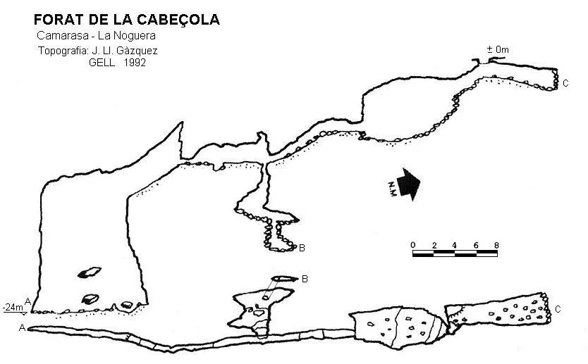
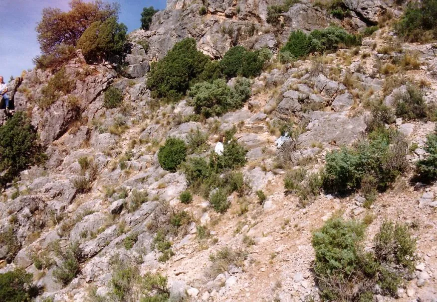


Fonte: Espeleoindex (espeleoindex.com), modificato. CC BY-NC 4.0, https://creativecommons.org/licenses/by-nc/4.0/