
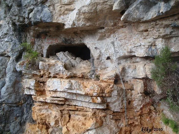
Cova de Mont-ral
A traverse of 158 metres of route and 28 of elevation change at Mont-ral, with a total cave route of 232 metres.
EspeleoWorld
Cova de Mont-ral
A traverse of 158 metres of route and 28 of elevation change at Mont-ral, with a total cave route of 232 metres.
Mont-ral · Alt Camp
Sviluppo: 232 m · Profondità: 28 m
Scheda aggiornata
https://espeleoworld.com/it/c/cova-de-mont-ral
Le informazioni possono cambiare. Verifica sempre coordinate, accesso, meteo e condizioni della cavità prima di partire.
A traverse of 158 metres of route and 28 of elevation change at Mont-ral, with a total cave route of 232 metres.
Topografia
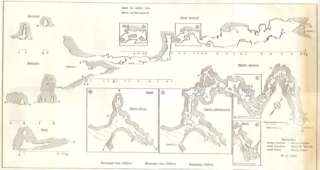
Espeleoindex · CC BY-NC 4.0, https://creativecommons.org/licenses/by-nc/4.0/ · Immagine © del suo autore.
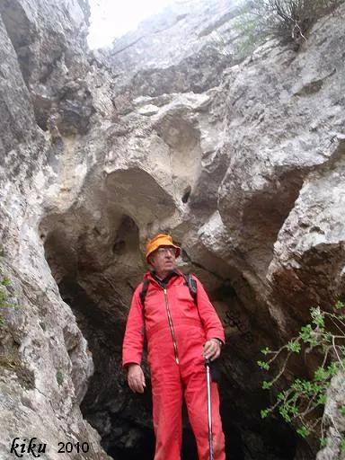
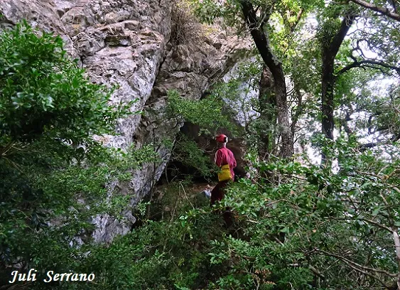
Foto
Espeleoindex · CC BY-NC 4.0, https://creativecommons.org/licenses/by-nc/4.0/ · Immagine © del suo autore.
Descrizione
Morfologia
Entering through the upper mouth, the cave begins with a gentle slope that later becomes steeper until it turns into a 2-metre drop, after which one enters the most beautiful part of the cavity and which ends in a pit of 9.5 metres of elevation change, finding at its base the continuation in a gallery that leads us to the last pit of 8 metres which is located in the upper part of the portico of the lower mouth.
Concrezioni
In the most beautiful part of the cavity we find a good range of lithogenic formations.
Progressione
The cavity is equipped to do the traverse on a double rope. The route of the traverse is 158 metres, while the total route of the cave is 232 metres.
Storia
It seems that the cavity was known to some people from Mont-ral and we believe that during the 1960's it had been visited by speleologists from Reus but we have not found any reference to that effect. As our friend Ferran Talavera tells us, in 1965 he visited the cave with colleagues from the SIEP (Barcelona) at the request of the village priest.
The oldest written reference we have about this cavity is that of the exploration and survey carried out in January 1971 by a team made up of members of the SIE-CEA (Barcelona) and a member of the GIEM (Montblanc), although it remained unpublished until it was included in the Catàleg Espeleològic de Catalunya vol.2 (1978).
Commenti degli utenti (0)
Nessun commento ancora.
Sii il primo a condividere la tua esperienza!
Esplorazioni registrate (0)
Nessuna esplorazione registrata.
Registra la tua visita a questa grotta!
Bibliografia
- Borràs, J.; Miñarro,JM.; Talavera, F. (1978).- Catàleg Espeleològic de Catalunya. Vol. 2 (l'Alt Camp, la Conca de Barberà,el Baix Penedès i el Tarragonès): 246 pp. Ed. Poliglota. Barcelona.
- Arxiu del Centre Excursionista de Catalunya. Topografia de Josep Castell
Grotte vicine
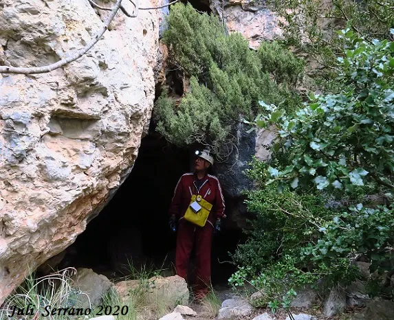
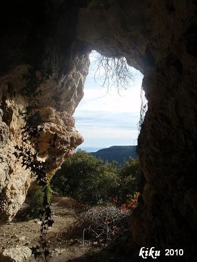


Fonte: Espeleoindex (espeleoindex.com), modificato. CC BY-NC 4.0, https://creativecommons.org/licenses/by-nc/4.0/