
Cova de les Gotetes
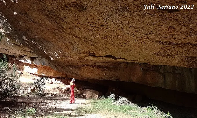
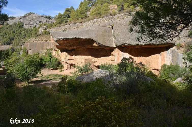
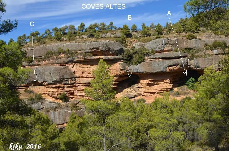
Large rock shelter about 90 metres wide in Cabacés.
EspeleoWorld
Cova de les Gotetes
Large rock shelter about 90 metres wide in Cabacés.
Cabacés · Priorat
Sviluppo: 17 m · Profondità: 5 m
Scheda aggiornata
https://espeleoworld.com/it/c/cova-de-les-gotetes
Le informazioni possono cambiare. Verifica sempre coordinate, accesso, meteo e condizioni della cavità prima di partire.
Large rock shelter about 90 metres wide in Cabacés.
Topografia
Espeleoindex · CC BY-NC 4.0, https://creativecommons.org/licenses/by-nc/4.0/ · Immagine © del suo autore.
Foto
Espeleoindex · CC BY-NC 4.0, https://creativecommons.org/licenses/by-nc/4.0/ · Immagine © del suo autore.
Descrizione
Morfologia
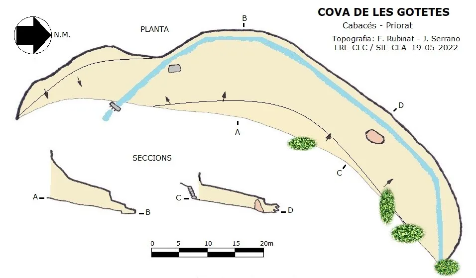
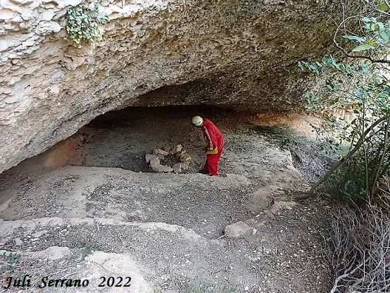
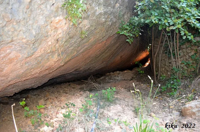
It is an enormous rock shelter about 90 metres wide and 17 metres deep with an average height of 8 metres at the entrance and almost 2 metres in the inner part.
Idrologia
On the N side of the Balma the waters of the barranc Tancat enter, which in this stretch, except in the rainy season, runs dry, but over time it has excavated the interior of the rock shelter, forming some gours and leaving the bed of the same well marked by erosion. After having covered three quarters of the rock shelter, the course of the torrent exits it to continue its way towards Cabacés.
Storia
Cavity known since ancient times in the area.
Commenti degli utenti (0)
Nessun commento ancora.
Sii il primo a condividere la tua esperienza!
Esplorazioni registrate (0)
Nessuna esplorazione registrata.
Registra la tua visita a questa grotta!
Bibliografia
- Dades, coordenades, topografia i fotos aportades per Juli Serrano (SIE-CEA) i Francesc Rubinat (ERE-CEC).
Grotte vicine


Fonte: Espeleoindex (espeleoindex.com), modificato. CC BY-NC 4.0, https://creativecommons.org/licenses/by-nc/4.0/