
Cova de la Font de la Covassa
A 34-metre-long cave with a water supply inside, in Cabacés.
EspeleoWorld
Cova de la Font de la Covassa
A 34-metre-long cave with a water supply inside, in Cabacés.
Cabacés · Priorat
Sviluppo: 34 m · Profondità: 1 m
Scheda aggiornata
https://espeleoworld.com/it/c/cova-de-la-font-de-la-covassa
Le informazioni possono cambiare. Verifica sempre coordinate, accesso, meteo e condizioni della cavità prima di partire.
A 34-metre-long cave with a water supply inside, in Cabacés.
Topografia
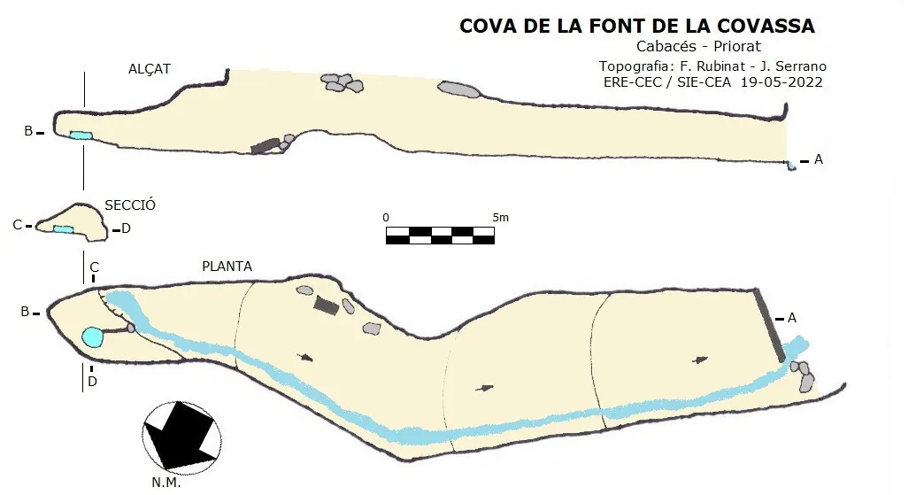
Espeleoindex · CC BY-NC 4.0, https://creativecommons.org/licenses/by-nc/4.0/ · Immagine © del suo autore.
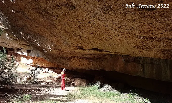
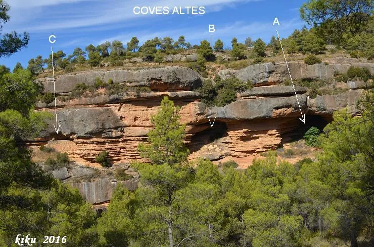
Foto
Espeleoindex · CC BY-NC 4.0, https://creativecommons.org/licenses/by-nc/4.0/ · Immagine © del suo autore.
Descrizione
Morfologia
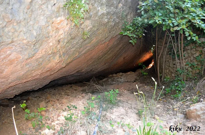
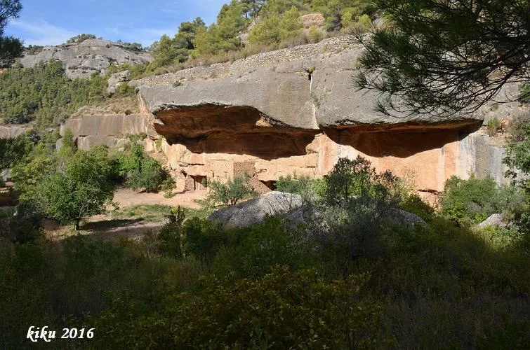
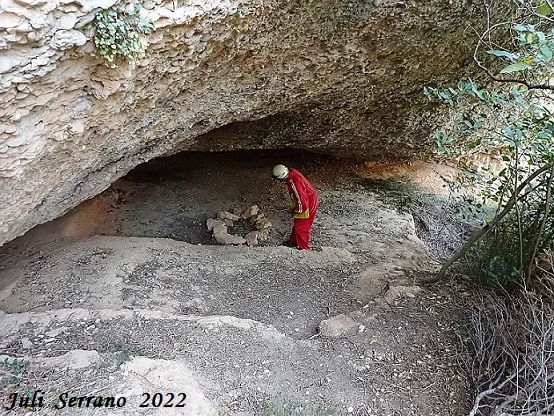
The cavity, in its first part, is a rock shelter that closes in as we advance, forming a gallery up to its end.
Idrologia
At the end of the gallery, a quantity of water springs from the ceiling that varies in volume depending on the time of year. The water is collected in a container and conveyed by means of a tube to the pool that is at la Covassa. When the quantity of water that springs out is greater than what the tube can carry, then the water flows through the cavity.
Storia
Cavity known and used since ancient times in the area.
Commenti degli utenti (0)
Nessun commento ancora.
Sii il primo a condividere la tua esperienza!
Esplorazioni registrate (0)
Nessuna esplorazione registrata.
Registra la tua visita a questa grotta!
Bibliografia
- Dades, coordenades, topografia i fotos aportades per Juli Serrano (SIE-CEA) i Francesc Rubinat (ERE-CEC).
Grotte vicine


Fonte: Espeleoindex (espeleoindex.com), modificato. CC BY-NC 4.0, https://creativecommons.org/licenses/by-nc/4.0/