

Cova de les Encantades de Martís
Cave with two entrances and 76 metres of passage at Martís (Esponellà).
EspeleoWorld
Cova de les Encantades de Martís
Cave with two entrances and 76 metres of passage at Martís (Esponellà).
Esponellà · Pla de l'Estany
Sviluppo: 76 m · Profondità: 21 m
Scheda aggiornata
https://espeleoworld.com/it/c/cova-de-les-encantades-de-martis
Le informazioni possono cambiare. Verifica sempre coordinate, accesso, meteo e condizioni della cavità prima di partire.
Cave with two entrances and 76 metres of passage at Martís (Esponellà).
Topografia


Espeleoindex · CC BY-NC 4.0, https://creativecommons.org/licenses/by-nc/4.0/ · Immagine © del suo autore.
Foto

Espeleoindex · CC BY-NC 4.0, https://creativecommons.org/licenses/by-nc/4.0/ · Immagine © del suo autore.
Descrizione
Morfologia
The upper entrance opens in the form of a vertical fissure with a drop of about 9 metres; this leads into a kind of chamber. Through the lower entrance access is gained via a gallery 8 metres high by 1 metre wide and sloping until reaching the aforementioned chamber, from which some short galleries branch off. We also find the access to a shaft of about 4.5 metres, followed by another of 7.5 metres which allow us to reach some small lower galleries, located at -21.4 metres of depth with respect to the upper entrance.
Progressione
The cavity has two entrances and 76 metres of passage. The upper entrance is a vertical fissure with a drop of about 9 metres that leads into a kind of chamber. Through the lower entrance access is gained via a gallery 8 metres high by 1 metre wide and sloping until reaching the aforementioned chamber. From the chamber some short galleries branch off, as well as the access to a shaft of about 4.5 metres, followed by another of 7.5 metres which allow access to some small lower galleries, located at -21.4 metres of depth with respect to the upper entrance.
Storia
This interesting sepulchral cave had been known in the area for a very long time; Dr. Corominas carried out archaeological work there between 1953 and 1957.
In 1974, Albert Martínez of the ERE of the CEC made a very complete survey of the cavity, although this has remained unpublished until the present day.
Around 1974 Xavier Marín of the GEIS of the CE Empordanès made a survey of the cavity, documenting it erroneously as cova dels Encantats. This error gave rise to this survey being attributed in the Catàleg Espeleològic de Catalunya (vol. 6) of 1981 to the cova dels Encantats of Serinyà, when in reality it was that of the de les Encantades de Martís at Esponellà. This error is likewise reproduced again in the Catàleg Espeleològic de Catalunya (vol. 4) published in 2010.
In 1981, Joan Borràs (GES-CMB), makes a new survey of the cavity which appears published in volume 6 of the Catàleg Espeleològic de Catalunya, although in this survey the second shaft and the lower galleries of the cavity do not appear.
Commenti degli utenti (0)
Nessun commento ancora.
Sii il primo a condividere la tua esperienza!
Esplorazioni registrate (0)
Nessuna esplorazione registrata.
Registra la tua visita a questa grotta!
Bibliografia
- Borràs, J;Miñarro, JM; Talavera, F.(1982).-”el Baix Empordà, el Gironès, la Selva,l'Osona, el Vallès oriental i el Maresme.” Catàleg Espeleològic de Catalunya (vol.6):84-85. Ed Políglota. Barcelona.
- Canal i Roquet, Josep; Soler i Masferrer, Narcís.(1976).-El Paleolític a les Comarques Gironines.
- Tarrús Galter, J. (1979).- La Cova Mariver. Estudi dels seus materials epicardials, montboló i bronze. Monografies del Centre d'Estudis Comarcals de Banyoles: 59 pp. Banyoles.
- Tarrús i Galter, Josep. (1982).-”L'Alta i la Baixa Garrotxa, del Neolític al Calcolític” Ausa (X/102-104):131-151. Patronat d'Estudis Ausonencs.
- Topografia inèdita, arxiu ERE del CEC.
Grotte vicine
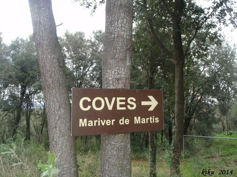
Cova de Mariver de Martís
0.2 km · N
Esponellà (Pla de l'Estany)
6 topo.7 foto
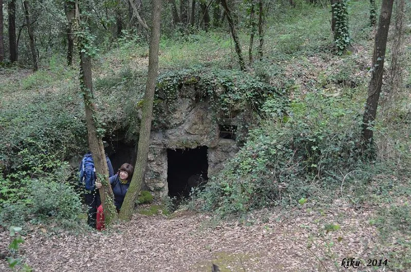
Cova de Mariver de Martís Nº2
0.2 km · N
Esponellà (Pla de l'Estany)
2 topo.3 foto

Avenc de l'Administració
0.2 km · N
Esponellà (Pla de l'Estany)
1 topo.

Avenc del Tall
0.3 km · NO
Esponellà (Pla de l'Estany)
1 topo.7 foto
Fonte: Espeleoindex (espeleoindex.com), modificato. CC BY-NC 4.0, https://creativecommons.org/licenses/by-nc/4.0/