
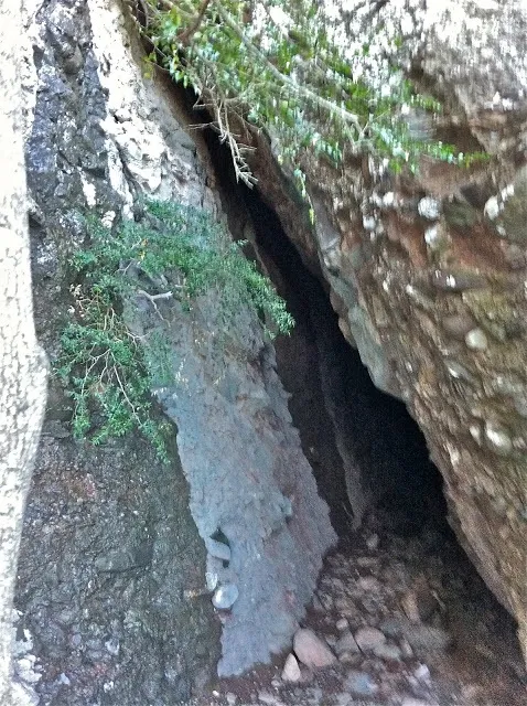
Cova de la Sargantana
A fissure with different exits to the exterior, on the northern slope of the Mola de Sant Llorenç.
EspeleoWorld
Cova de la Sargantana
A fissure with different exits to the exterior, on the northern slope of the Mola de Sant Llorenç.
Matadepera · Vallès Occidental
Sviluppo: 20 m · Profondità: 6 m
Scheda aggiornata
https://espeleoworld.com/it/c/cova-de-la-sargantana
Le informazioni possono cambiare. Verifica sempre coordinate, accesso, meteo e condizioni della cavità prima di partire.
A fissure with different exits to the exterior, on the northern slope of the Mola de Sant Llorenç.
Topografia
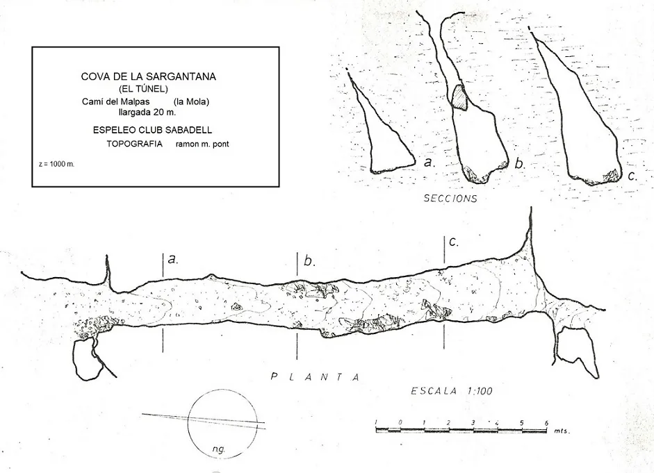
Espeleoindex · CC BY-NC 4.0, https://creativecommons.org/licenses/by-nc/4.0/ · Immagine © del suo autore.
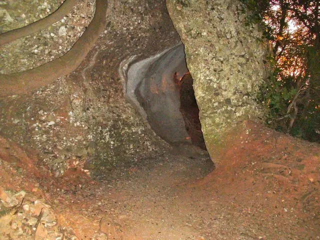
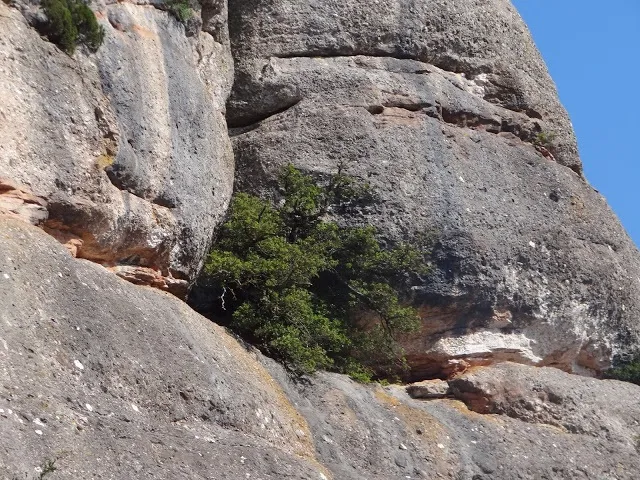
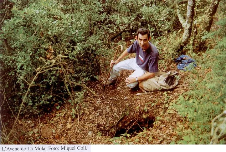
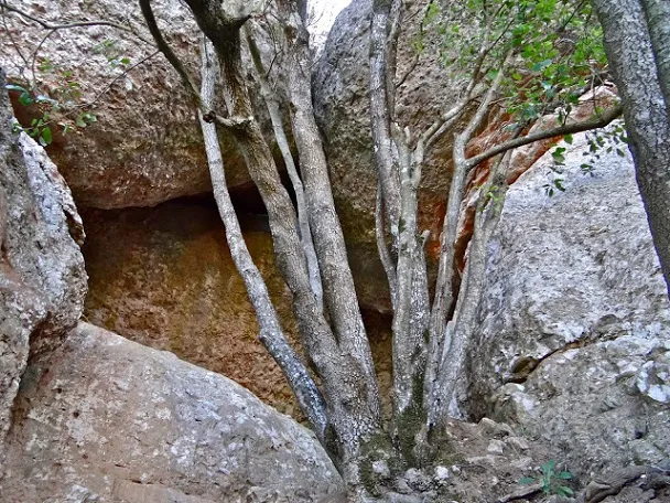
Foto
Espeleoindex · CC BY-NC 4.0, https://creativecommons.org/licenses/by-nc/4.0/ · Immagine © del suo autore.
Descrizione
Morfologia
It is a fissure, narrow and with blocks wedged between the walls. It has an opening at each end of the fracture and another in the ceiling, in the central stretch of the gallery, although it appears very narrow.
Storia
From an existing survey in the archive of the SIS – CE Terrassa there is news of this cave explored by members of the Espeleo Club Sabadell (it bears no date but we think it would have been done around 1970-1972), naming it Cova de la Sargantana, possibly because of the narrowness of the passage.
For some time there has been a certain confusion between this cavity and the so-called Balma de la Llosa, located a little further N. Logically, this one must be the Cova de la Sargantana, for being a narrow fissure, with no resemblance to a balma, and the other the Balma de la Llosa (because of the large slab that forms it). It seems that the error originates in the map of Editorial Alpina, 1972 edition, when they catalogue the Balma de la Llosa as Cova de la Sargantana, adding that it is a large detached block beside the path. Perhaps the fact that on the labelling of the survey by those from Sabadell the word appears: El Túnel, helped the confusion, since both have an entrance and exit at their ends.
But the maps (Alpina and ICGC), the wikilocs of the area and some experts on Sant Llorenç say quite the opposite and swap the names.
Commenti degli utenti (0)
Nessun commento ancora.
Sii il primo a condividere la tua esperienza!
Esplorazioni registrate (0)
Nessuna esplorazione registrata.
Registra la tua visita a questa grotta!
Bibliografia
- Foto extreta del blog: trailsantllorenc.blogspot (de Lluís R. Hernández, de Matadepera)
Grotte vicine


Fonte: Espeleoindex (espeleoindex.com), modificato. CC BY-NC 4.0, https://creativecommons.org/licenses/by-nc/4.0/