
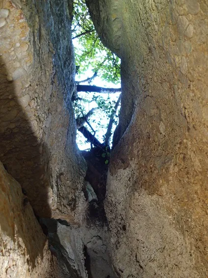
Cova de la Mata
An 11-metre-deep pit with a 148-metre passage in Vimbodí i Poblet, with seasonal flooding and Bronze Age archaeological remains (-1800).
EspeleoWorld
Cova de la Mata
An 11-metre-deep pit with a 148-metre passage in Vimbodí i Poblet, with seasonal flooding and Bronze Age archaeological remains (-1800).
Vimbodí i Poblet · Conca de Barberà
Sviluppo: 148 m · Profondità: 11 m
Scheda aggiornata
https://espeleoworld.com/it/c/cova-de-la-mata
Le informazioni possono cambiare. Verifica sempre coordinate, accesso, meteo e condizioni della cavità prima di partire.
An 11-metre-deep pit with a 148-metre passage in Vimbodí i Poblet, with seasonal flooding and Bronze Age archaeological remains (-1800).
Topografia
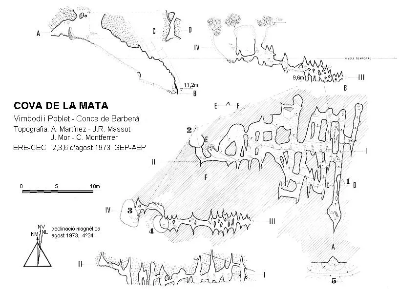

Espeleoindex · CC BY-NC 4.0, https://creativecommons.org/licenses/by-nc/4.0/ · Immagine © del suo autore.
Foto

Espeleoindex · CC BY-NC 4.0, https://creativecommons.org/licenses/by-nc/4.0/ · Immagine © del suo autore.
Descrizione
Morfologia
An 11-metre-deep pit with a 148-metre passage. Its origin and subsequent morphology have been structured into a series of galleries developed along the bedding planes, and they have not been greatly affected by the joints. This is due to the inclination of the strata and their dip. The sector of the cavity between the entrances (1 and 2) has a more advanced evolution than the more recent sector (e-f).
Concrezioni
Only reconstruction forms are observed at the bottom of the section (a-b).
Idrologia
Throughout the year this cavity experiences a series of floods caused by the rise in the water table of the area. This, together with the rainfall regime, causes a series of transgressions and fluctuations in the flooding levels of the cavity. It is believed that we are dealing with a cavity incised by phreatic waters, as testified by the stratified clay found on the floor, originating from alternating cycles of still and agitated water, completely ruling out conduction.
Altri dettagli
All of this can be considered as a first phase of karstification, even though the cause is incision by the rise of deep waters.
Storia
Known since ancient times in the area. In the archaeological work carried out, remains from the Bronze Age (-1800) have been found, this being a natural burial cave.
Commenti degli utenti (0)
Nessun commento ancora.
Sii il primo a condividere la tua esperienza!
Esplorazioni registrate (0)
Nessuna esplorazione registrata.
Registra la tua visita a questa grotta!
Bibliografia
- Bosch, M.; Cervelló, J.M.; Romero, M.(1991).-”Noves dades sobre l'Espluga”. Espeleòleg (39):4-10. ERE-CEC. Barcelona
- Cervelló, J.M.; i Freixes, A. (1986).-Materials per a una guia del carst de l'Espluga de Francolí. Servei geològic de Catalunya (inèdit).
- Cervelló, J.M. (1986).-”El carst conglomeràtic de l'Espluga de Francolí. Espeleòleg (37):3-6. ERE-CEC. Barcelona.
- Mor, J.; i Martínez, A. (1975-76).-”Sobre qualcunes observacions hidrogeològiques i tèrmiques dels sistemes freàtics i càrstics de Riudabella (Vimbodí-Tarragona)”. Speleon (22):75-107. Centre Excursionista de Catalunya. Barcelona
- Palau, Ramon; i Pallisé, Joan. (2006).- “Ressenya de quatre fenòmens càrstics a la zona limítrofa del PNIN de Poblet”. Actes de les Segones Jornades sobre el Bosc de Poblet i les Muntanyes de Prades. Departament de Medi Ambient. Generalitat de Catalunya.
- Més informació, revisió de coordenades i fotografies, extretes del web: (espeleodijous.cat) apunt del 4-1-2018.
Grotte vicine
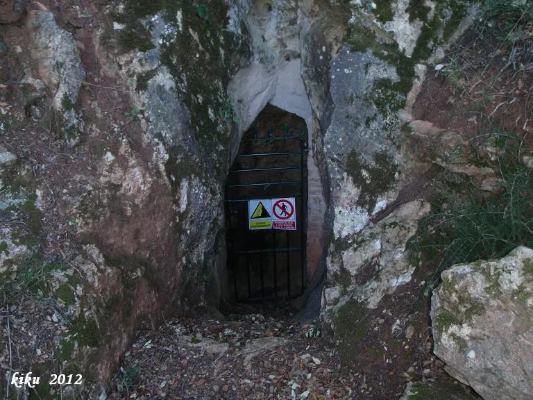
Cova de Nerola
1.1 km · E
Vimbodí i Poblet (Conca de Barberà)
2 topo.2 foto
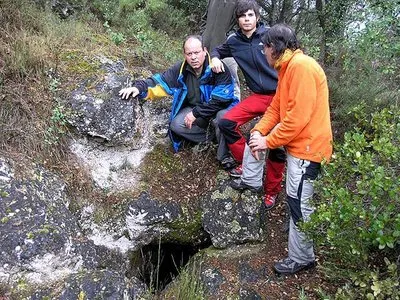
Avenc del Julivert
1.2 km · O
Vimbodí i Poblet (Conca de Barberà)
2 topo.6 foto
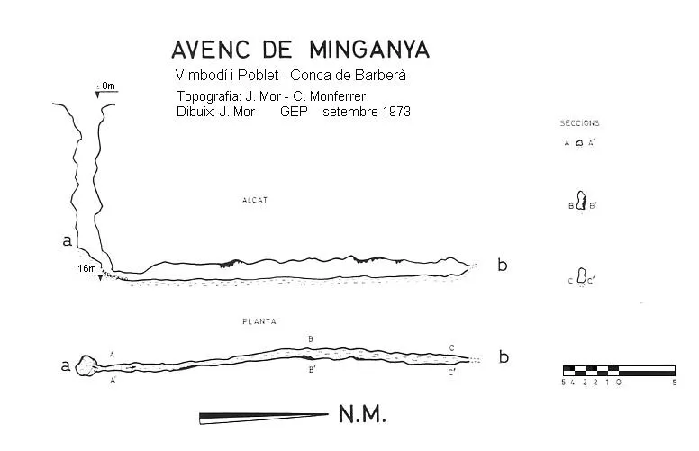
Avenc de Minganya
1.5 km · NO
Vimbodí i Poblet (Conca de Barberà)
2 topo.
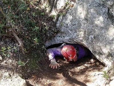
Cova del Mas de la Llana
3.5 km · O
Vallclara (Conca de Barberà)
1 topo.5 foto
Fonte: Espeleoindex (espeleoindex.com), modificato. CC BY-NC 4.0, https://creativecommons.org/licenses/by-nc/4.0/