
Cova de la Bruixa
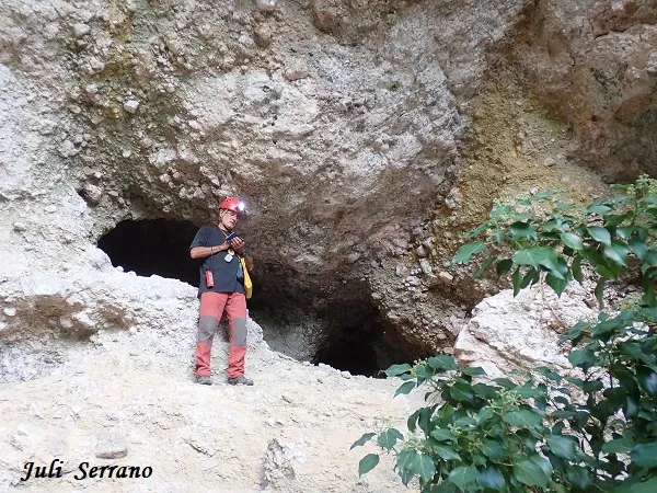
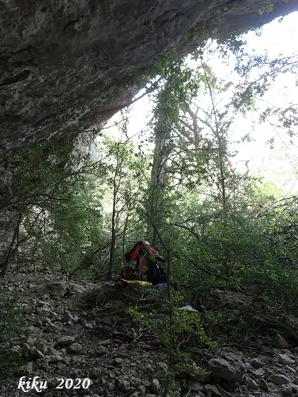
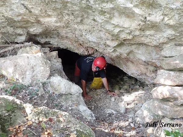
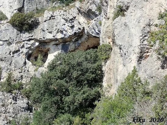
Large rock shelter on the cingles de l'Abellera, Mont-ral, shaped like a half-moon opened in dolomitic breccias, full of small conduits.
EspeleoWorld
Cova de la Bruixa
Large rock shelter on the cingles de l'Abellera, Mont-ral, shaped like a half-moon opened in dolomitic breccias, full of small conduits.
Mont-ral · Alt Camp
Sviluppo: 19 m · Profondità: 11 m
Scheda aggiornata
https://espeleoworld.com/it/c/cova-de-la-bruixa
Le informazioni possono cambiare. Verifica sempre coordinate, accesso, meteo e condizioni della cavità prima di partire.
Large rock shelter on the cingles de l'Abellera, Mont-ral, shaped like a half-moon opened in dolomitic breccias, full of small conduits.
Topografia
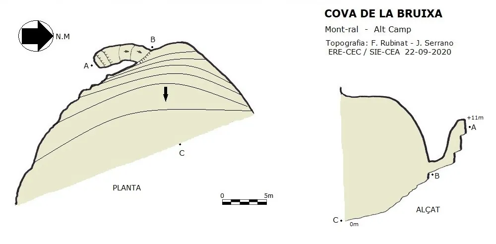
Espeleoindex · CC BY-NC 4.0, https://creativecommons.org/licenses/by-nc/4.0/ · Immagine © del suo autore.
Foto
Espeleoindex · CC BY-NC 4.0, https://creativecommons.org/licenses/by-nc/4.0/ · Immagine © del suo autore.
Descrizione
Morfologia
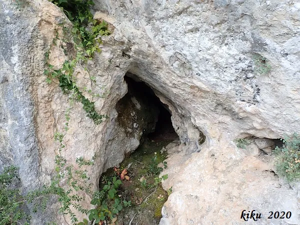
It is a large rock shelter in the shape of a half-moon opened in dolomitic breccias. The whole rock shelter is full of small conduits of no more than a couple of metres, except one which in small steps ascends up to +11 metres. The total route of the rock shelter plus the conduit is 18.30 metres.
Storia
Cavity known since ancient times; in fact it appears cited in all the maps, but no data about it was known.
Commenti degli utenti (0)
Nessun commento ancora.
Sii il primo a condividere la tua esperienza!
Esplorazioni registrate (0)
Nessuna esplorazione registrata.
Registra la tua visita a questa grotta!
Bibliografia
- Dades, situació, coordenades, topografia i fotografies facilitades per Juli Serrano (SIE-CEA) i Francesc Rubinat (ERE-CEC).Setembre de 2020.
Grotte vicine


Fonte: Espeleoindex (espeleoindex.com), modificato. CC BY-NC 4.0, https://creativecommons.org/licenses/by-nc/4.0/