

Cova de Comabella
Small cave in the Comabella area (Bagà), with a 1 x 1 m entrance, two passages and cited in CEDC no. 3.
EspeleoWorld
Cova de Comabella
Small cave in the Comabella area (Bagà), with a 1 x 1 m entrance, two passages and cited in CEDC no. 3.
Bagà · Berguedà
Sviluppo: 8 m · Profondità: 2 m
Scheda aggiornata
https://espeleoworld.com/it/c/cova-de-comabella
Le informazioni possono cambiare. Verifica sempre coordinate, accesso, meteo e condizioni della cavità prima di partire.
Small cave in the Comabella area (Bagà), with a 1 x 1 m entrance, two passages and cited in CEDC no. 3.
Topografia

Espeleoindex · CC BY-NC 4.0, https://creativecommons.org/licenses/by-nc/4.0/ · Immagine © del suo autore.
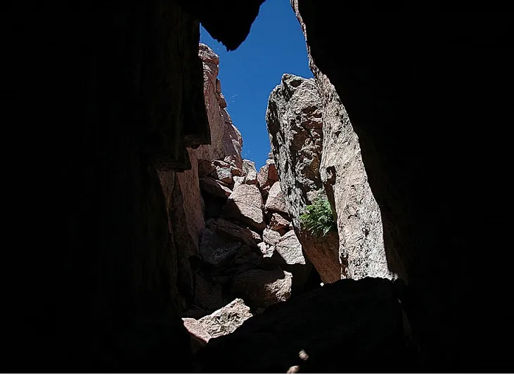
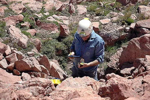
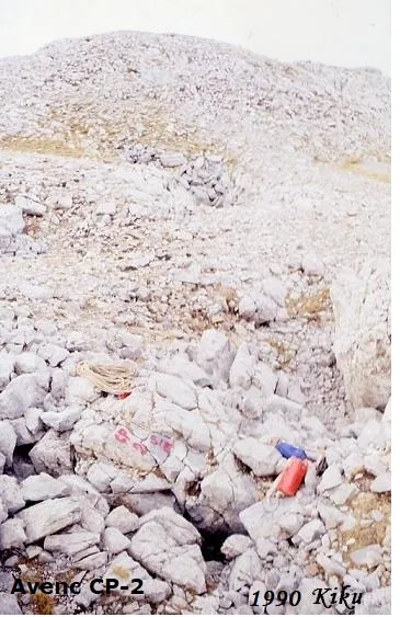
Foto
Espeleoindex · CC BY-NC 4.0, https://creativecommons.org/licenses/by-nc/4.0/ · Immagine © del suo autore.
Descrizione
Morfologia
Through an entrance of approximately 1 x 1 m one enters a small chamber from which two passages lead off. One is a small, short fissure that soon closes up, and the other, also narrow and with a low ceiling and a floor full of stones, becomes impassable after 2 m.
Storia
Cavity cited in CEDC no. 3 (J. de Valles, 2009) as Forat de Comabella, which was located by the geologist Roger Fontquerni around 2004 and georeferenced with UTM ED-50 coordinates.
In August 2010 it was visited and surveyed by members of the GE Badalona.
With no knowledge of the earlier exploration, until the 2023 visit by members of Espeleodijous it had remained unpublished.
Commenti degli utenti (0)
Nessun commento ancora.
Sii il primo a condividere la tua esperienza!
Esplorazioni registrate (0)
Nessuna esplorazione registrata.
Registra la tua visita a questa grotta!
Bibliografia
- Valles, Jordi de.(2009).-”Berguedà, Cerdanya, Garrotxa, Ripollès”. Catàleg Espeleològic de Catalunya (vol.3):13-14. EC Gràcia/FCE.
- Totes les dades, topografia (2023) i fotografies han estat extretes del web: espeleodijous.cat (Apunt del 25-7-2023)
- Topografia (2010) facilitada per Enric Porcel (GE Badalona) el 2024
Grotte vicine



Fonte: Espeleoindex (espeleoindex.com), modificato. CC BY-NC 4.0, https://creativecommons.org/licenses/by-nc/4.0/