

Cigalera del Gireny
Ice-filled cavity, 46 m deep in the municipality of Alt Àneu.
EspeleoWorld
Cigalera del Gireny
Ice-filled cavity, 46 m deep in the municipality of Alt Àneu.
Alt Àneu · Pallars Sobirà
Sviluppo: 95 m · Profondità: 46 m
Scheda aggiornata
https://espeleoworld.com/it/c/cigalera-del-gireny
Le informazioni possono cambiare. Verifica sempre coordinate, accesso, meteo e condizioni della cavità prima di partire.
Ice-filled cavity, 46 m deep in the municipality of Alt Àneu.
Topografia

Espeleoindex · CC BY-NC 4.0, https://creativecommons.org/licenses/by-nc/4.0/ · Immagine © del suo autore.
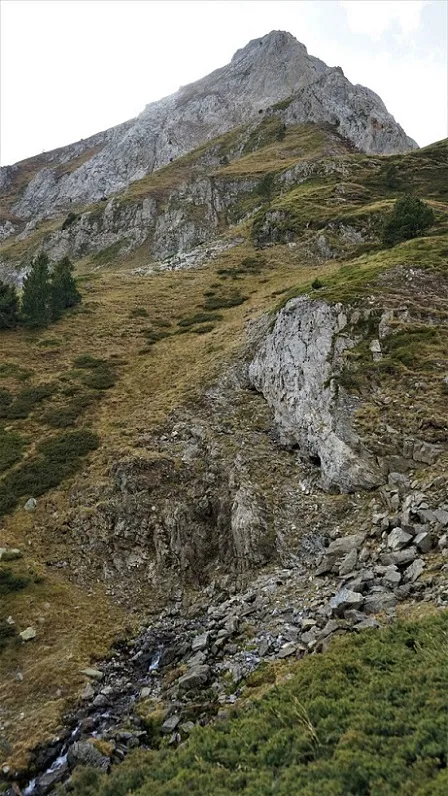
Foto
Espeleoindex · CC BY-NC 4.0, https://creativecommons.org/licenses/by-nc/4.0/ · Immagine © del suo autore.
Descrizione
Morfologia
An important entrance 8 metres long by about 2 metres wide that communicates with a shaft of 30 vertical metres and that is normally plugged by a plug of snow and ice. When it can be passed, at its base a ramp begins that leads into a wide chamber with two chimneys. Before entering this chamber, on the right, there is a short ramp gallery that leads to a small shaft of about 8 metres and at its bottom, two impenetrable narrows mark the point of maximum depth (-46). Returning to the base of the entrance shaft and in the opposite direction, there is a short but steep ramp that leads to a small chamber full of blocks and with a chimney of imperceptible height.
Storia
Discovered in the summer of 1977 by the S.S.Plantaurel, who can descend only about 10 metres. The following year, after a long digging out of the ice plug, they manage to reach the final chamber. They assign it 58 metres of depth. In the summer of 1989, a team from the SIS finds the cavity with a considerably low level of snow, they can explore the whole of the French team's section and have access to a short new gallery at the bottom of the entrance shaft. The new survey that they make gives a maximum depth of 46 metres (at the same point that those of the SSP reached).
In one of the first notes (SIS-6), about the explorations in the massif, Joan Pallisé speaks of a cavity of about 60 metres of depth with an important snow plug, but erroneously calls it RC.1, when in reality it should have said RB.1
Commenti degli utenti (0)
Nessun commento ancora.
Sii il primo a condividere la tua esperienza!
Esplorazioni registrate (0)
Nessuna esplorazione registrata.
Registra la tua visita a questa grotta!
Bibliografia
Géraud, Ph. (1978).-'Massif de la Roca Blanca (Province de Lérida-Espagne)' L'Echo des Ténèbres (3): 6-9, S.S.Plantaurel
SIS-CET (1989).-Memòria campanya Roca Blanca 1989. SIS-CE Terrassa (inèdita)
Valles, Jordi de (2008).-'Alta Ribagorça, Pallars Jussà, Pallars Sobirà i Val d'Aran'. Catàleg Espeleològic de Catalunya (vol.1):1-319. EC Gràcia / FCE.
Coordenades, dades i Fotografies facilitades per Joan Pallisé, juny de 2026.
Grotte vicine




Fonte: Espeleoindex (espeleoindex.com), modificato. CC BY-NC 4.0, https://creativecommons.org/licenses/by-nc/4.0/