

Cau de l'Esquerda
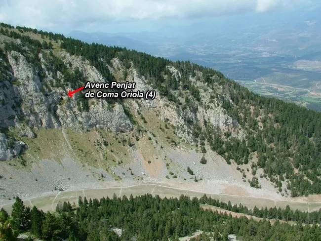
High, unimportant left-hand shaft in the Coma Oriola area (la Masella, Cerdanya), in fractured Devonian limestones between the elevations of 2,135 and 2,300 m.
EspeleoWorld
Cau de l'Esquerda
High, unimportant left-hand shaft in the Coma Oriola area (la Masella, Cerdanya), in fractured Devonian limestones between the elevations of 2,135 and 2,300 m.
Urús · Cerdanya
Sviluppo: 10 m · Profondità: 9 m
Scheda aggiornata
https://espeleoworld.com/it/c/cau-de-l-esquerda
Le informazioni possono cambiare. Verifica sempre coordinate, accesso, meteo e condizioni della cavità prima di partire.
High, unimportant left-hand shaft in the Coma Oriola area (la Masella, Cerdanya), in fractured Devonian limestones between the elevations of 2,135 and 2,300 m.
Topografia

Espeleoindex · CC BY-NC 4.0, https://creativecommons.org/licenses/by-nc/4.0/ · Immagine © del suo autore.
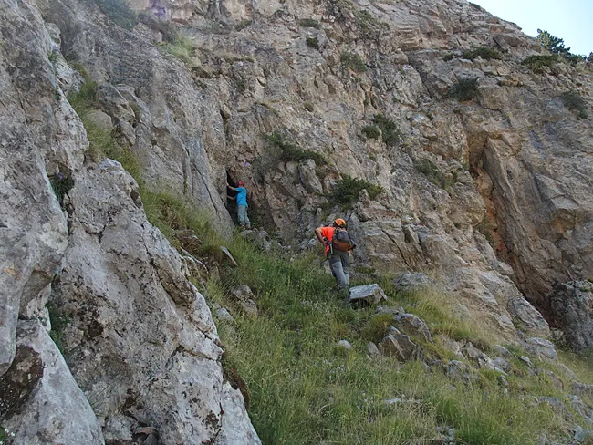
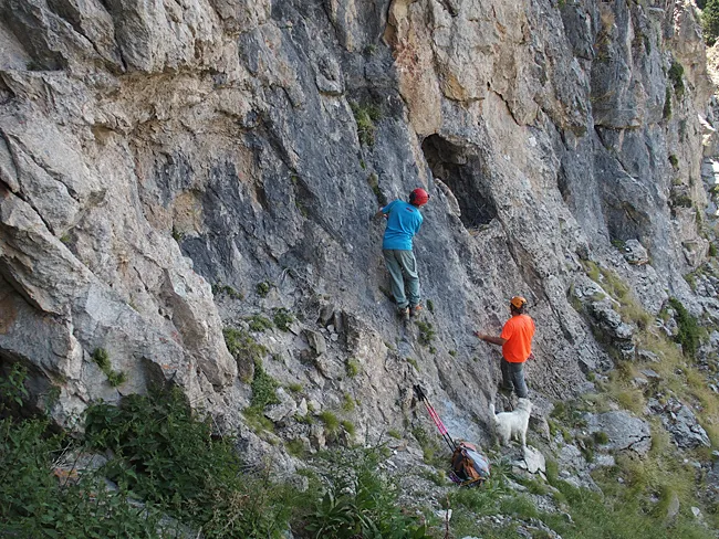
Foto
Espeleoindex · CC BY-NC 4.0, https://creativecommons.org/licenses/by-nc/4.0/ · Immagine © del suo autore.
Descrizione
Morfologia
Narrow fissure about 10 metres high through which one can progress about 10 metres into its interior.
Storia
The only data known are those published by the members of the espeleodijous who visited it in 2016.
Commenti degli utenti (0)
Nessun commento ancora.
Sii il primo a condividere la tua esperienza!
Esplorazioni registrate (0)
Nessuna esplorazione registrata.
Registra la tua visita a questa grotta!
Bibliografia
- Totes les dades, topografia i fotografies han estat extretes del blog: espeleobloc.blogspot. Apunt del 16-10-2017
Grotte vicine



Fonte: Espeleoindex (espeleoindex.com), modificato. CC BY-NC 4.0, https://creativecommons.org/licenses/by-nc/4.0/